

$830
/ Month
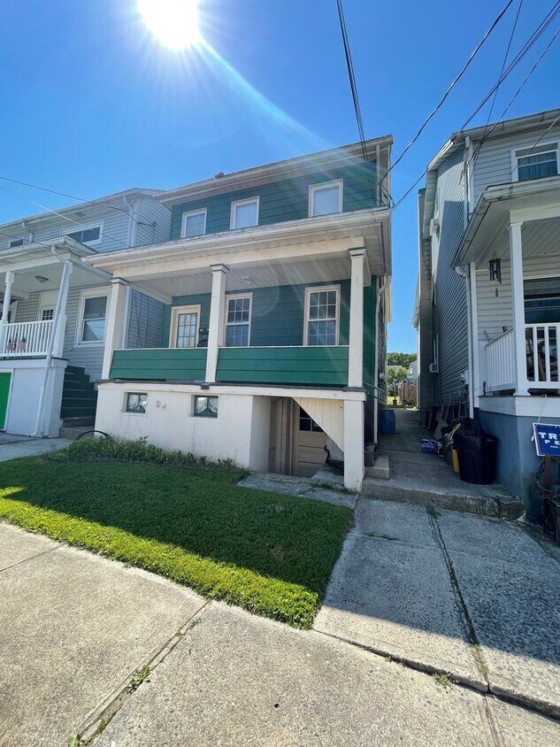
6 E High St Unit 6 East High Street APT 1
Coaldale, PA 18218
2 Weeks Ago
Favorites
6 E High St Unit 6 East High Street APT 1

Favorites
Check Back Soon for Upcoming Availability
| Beds | Baths | Average SF |
|---|---|---|
| 1 Bedroom 1 Bedroom 1 Br | 1 Bath 1 Bath 1 Ba | — |
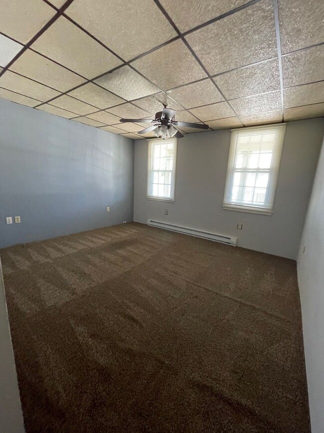
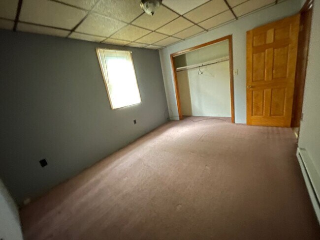
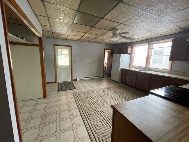
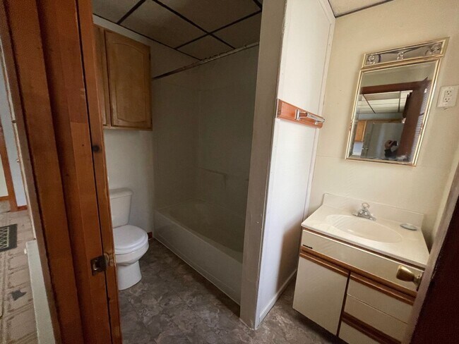
About This Property
Come home to your new place in Coaldale, PA. This property can be found at 6 E High St in Coaldale. Stop searching and start living in your new home. Let us assist you! Contact us now to schedule a tour!
6 E High St is an apartment community located in Schuylkill County and the 18218 ZIP Code.
Location
Get Directions
Education
| Colleges & Universities | Distance | ||
|---|---|---|---|
| Colleges & Universities | Distance | ||
| Drive: | 48 min | 28.8 mi | |
| Drive: | 65 min | 37.1 mi | |
| Drive: | 62 min | 39.1 mi | |
| Drive: | 62 min | 39.8 mi |
6 E High St Unit 6 East High Street APT 1 is within 48 minutes or 28.8 miles from Lehigh Carbon Comm. Coll.. It is also near Kutztown University and Muhlenberg College.
You May Also Like
Similar Rentals Nearby


What Are Walk Score®, Transit Score®, and Bike Score® Ratings?
Walk Score® measures the walkability of any address. Transit Score® measures access to public transit. Bike Score® measures the bikeability of any address.
What is a Sound Score Rating?
A Sound Score Rating aggregates noise caused by vehicle traffic, airplane traffic and local sources
6 E High St
Coaldale, PA 18218