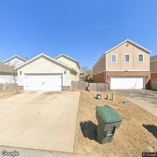
593 N Tennyson Ln
593 N Tennyson Ln
Fayetteville, AR 72704
2 Weeks Ago
|
Edit
Favorites
593 N Tennyson Ln

Favorites
Check Back Soon for Upcoming Availability
| Beds | Baths | Average SF |
|---|---|---|
| 4 Bedrooms 4 Bedrooms 4 Br | 3 Baths 3 Baths 3 Ba | — |
593 N Tennyson Ln,
Fayetteville,
AR
72704
Located in the Ozark Mountains, Fayetteville combines small-town appeal with the energy of a university community. As home to the University of Arkansas, the city offers an array of cultural attractions and outdoor activities. The rental market includes apartments throughout the city, from communities near campus to residential options in the Uptown district, with current average rents ranging from $906 for one-bedroom units to $2,506 for four-bedroom homes. The rental market has seen moderate growth, with rates increasing approximately 4.4% annually.
Fayetteville's downtown square hosts the farmers' market, a local tradition since 1974, while Dickson Street features local restaurants, shops, and live music venues. The city's trail system includes the Razorback Regional Greenway, which helped Fayetteville become the first U.S. city to receive the "Bike City" designation from the Union Cycliste Internationale. Outdoor spaces include Wilson Park and the Botanical Garden of the Ozarks.
Learn more about living in Fayetteville
Education
| Colleges & Universities | Distance | ||
|---|---|---|---|
| Colleges & Universities | Distance | ||
| Drive: | 11 min | 4.6 mi | |
| Drive: | 29 min | 24.1 mi | |
| Drive: | 41 min | 26.9 mi |
593 N Tennyson Ln is within 11 minutes or 4.6 miles from University of Arkansas. It is also near Northwest Ark. Comm. Coll. and John Brown University.
Walkability Near 593 N Tennyson Ln Fayetteville, AR 72704
Getting Around
 What do Walkability, Transit, Drivability, and Bikeability mean?
Walkability measures the walking distance to day-to-day needs.
Transit measures access to public transportation.
Drivability measures congestion, parking availability, and access to major roads.
Bikeability measures the suitability for cycling.
How It Works
What do Walkability, Transit, Drivability, and Bikeability mean?
Walkability measures the walking distance to day-to-day needs.
Transit measures access to public transportation.
Drivability measures congestion, parking availability, and access to major roads.
Bikeability measures the suitability for cycling.
How It Works
Somewhat Walkable
Walkability
30
/ 100
Exceptionally Drivable
Drivability
100
/ 100
Moderately Bikeable
Bikeability
60
/ 100
Scores provided by
-
Soundscore™
-
/ 100
Traffic
-Airport
-Businesses
-Scores provided by
HowLoud What is a Sound Score Rating? A Sound Score Rating aggregates noise caused by vehicle traffic, airplane traffic and local sources. How It WorksYou May Also Like
Similar Rentals Nearby
-
-

-

-

-
 4 Beds, 4.5 Baths, 2,004 sq ft$3,0004073 W Santa Maria Ln
 -

-

-
 4 Beds, 5 Baths, 2,015 sq ft$2,980Total Monthly PriceTotal Monthly Price NewPrices include all required monthly fees.1520 S Razorback Rd
 -

-


What Are Walk Score®, Transit Score®, and Bike Score® Ratings?
Walk Score® measures the walkability of any address. Transit Score® measures access to public transit. Bike Score® measures the bikeability of any address.
What is a Sound Score Rating?
A Sound Score Rating aggregates noise caused by vehicle traffic, airplane traffic and local sources.

593 N Tennyson Ln
Fayetteville, AR 72704