
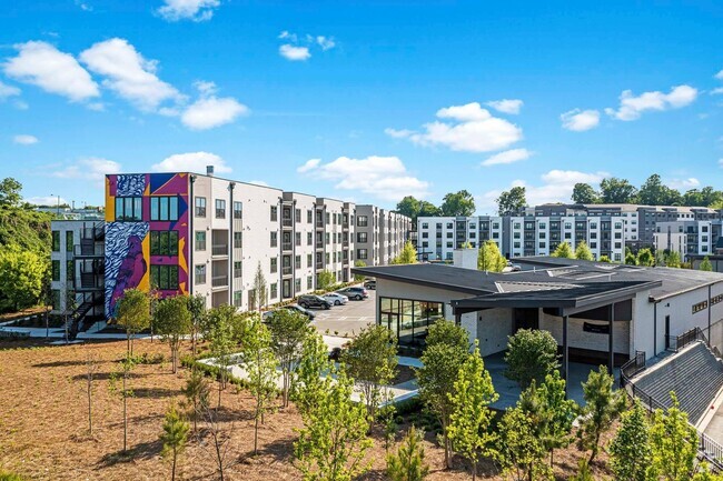
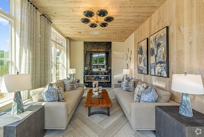
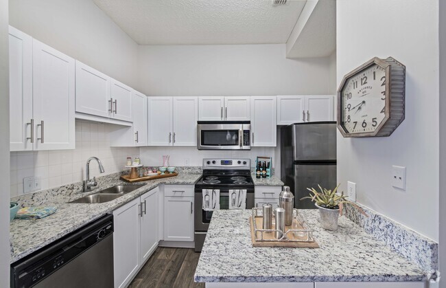
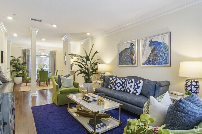
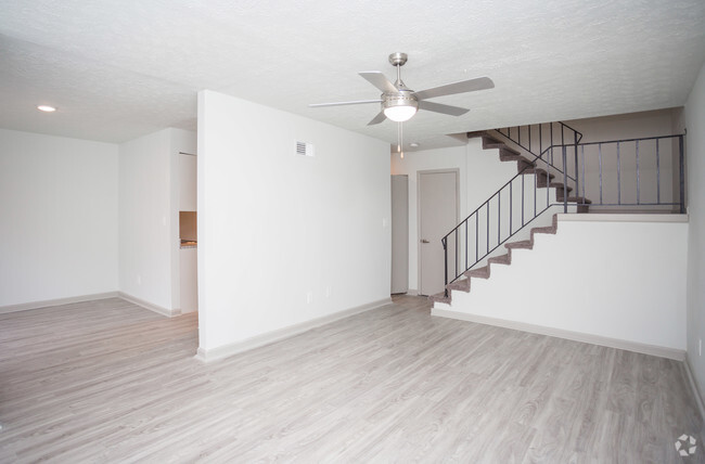
5723 Evadale Trce
5723 Evadale Trce
Mableton, GA 30126
2 Weeks Ago
Favorites
5723 Evadale Trce

Favorites
Check Back Soon for Upcoming Availability
| Beds | Baths | Average SF |
|---|---|---|
| 1 Bedroom 1 Bedroom 1 Br | 1 Bath 1 Bath 1 Ba | — |
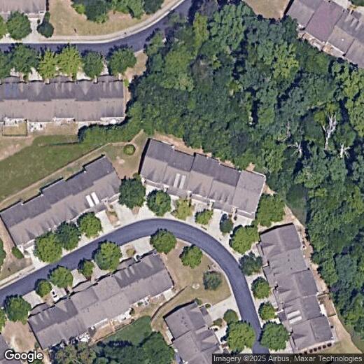
Location
Get Directions
Nestled in the bustling Cobb County region, Mableton is Metro Atlanta’s largest unincorporated community. Known as one of the biggest up-and-coming areas outside of Atlanta, this city blends small-town charm with modern conveniences. Thanks to a premier location, countless amenities, and a close-knit feel, Mableton has become the ideal place to live for those seeking easy access into the city.
Situated just east of Interstate 285 and north of Interstate 20, the neighborhood features a calm suburban lifestyle minutes from Downtown Atlanta. With a diverse population, excellent schools, and great dining options, Mableton has grown to be one of the most popular locations in the metro area. In addition, locals enjoy the use of the Silver Comet Trail for running or walking.
Learn more about living in Mableton
Education
| Colleges & Universities | Distance | ||
|---|---|---|---|
| Colleges & Universities | Distance | ||
| Drive: | 12 min | 6.7 mi | |
| Drive: | 18 min | 9.5 mi | |
| Drive: | 16 min | 9.9 mi | |
| Drive: | 17 min | 10.3 mi |
5723 Evadale Trce is within 12 minutes or 6.7 miles from Chatt. Tech, Austell. It is also near Georgia Tech and Clark Atlanta University.
Transportation options available in Mableton include Hamilton E Holmes, located 6.6 miles from 5723 Evadale Trce. 5723 Evadale Trce is near Hartsfield - Jackson Atlanta International, located 19.3 miles or 30 minutes away.
| Transit / Subway | Distance | ||
|---|---|---|---|
| Transit / Subway | Distance | ||
|
|
Drive: | 12 min | 6.6 mi |
|
|
Drive: | 11 min | 6.9 mi |
|
|
Drive: | 12 min | 7.6 mi |
|
|
Drive: | 15 min | 8.7 mi |
|
|
Drive: | 19 min | 10.4 mi |
| Commuter Rail | Distance | ||
|---|---|---|---|
| Commuter Rail | Distance | ||
|
|
Drive: | 20 min | 9.3 mi |
| Airports | Distance | ||
|---|---|---|---|
| Airports | Distance | ||
|
Hartsfield - Jackson Atlanta International
|
Drive: | 30 min | 19.3 mi |
Time and distance from 5723 Evadale Trce.
| Shopping Centers | Distance | ||
|---|---|---|---|
| Shopping Centers | Distance | ||
| Drive: | 3 min | 1.3 mi | |
| Drive: | 3 min | 1.4 mi | |
| Drive: | 4 min | 1.8 mi |
5723 Evadale Trce has 3 shopping centers within 1.8 miles, which is about a 4-minute drive. The miles and minutes will be for the farthest away property.
| Parks and Recreation | Distance | ||
|---|---|---|---|
| Parks and Recreation | Distance | ||
|
Silver Comet Trail
|
Drive: | 9 min | 4.1 mi |
|
Cascade Springs Nature Preserve
|
Drive: | 14 min | 8.7 mi |
|
West Atlanta Watershed Alliance (WAWA)
|
Drive: | 16 min | 9.3 mi |
|
Atlanta BeltLine Southwest Connector Spur Trail
|
Drive: | 19 min | 10.5 mi |
|
Atlanta History Center
|
Drive: | 20 min | 12.9 mi |
5723 Evadale Trce has 5 parks within 12.9 miles, including Silver Comet Trail, Atlanta BeltLine Southwest Connector Spur Trail, and Cascade Springs Nature Preserve.
| Hospitals | Distance | ||
|---|---|---|---|
| Hospitals | Distance | ||
| Drive: | 7 min | 3.7 mi | |
| Drive: | 20 min | 8.8 mi | |
| Drive: | 16 min | 8.8 mi |
5723 Evadale Trce has 3 hospitals within 8.8 miles, the nearest is Ridgeview Institute which is 3.7 miles away and a 7 minute drive.
| Military Bases | Distance | ||
|---|---|---|---|
| Military Bases | Distance | ||
| Drive: | 19 min | 9.2 mi | |
| Drive: | 21 min | 12.1 mi |
5723 Evadale Trce is 9.2 miles from Dobbins Air Force Base, and is convenient to other military bases, including Fort McPherson.
You May Also Like
Similar Rentals Nearby


What Are Walk Score®, Transit Score®, and Bike Score® Ratings?
Walk Score® measures the walkability of any address. Transit Score® measures access to public transit. Bike Score® measures the bikeability of any address.
What is a Sound Score Rating?
A Sound Score Rating aggregates noise caused by vehicle traffic, airplane traffic and local sources
5723 Evadale Trce
Mableton, GA 30126