
AMLI Old Pasadena
75 W Holly St,
Pasadena, CA 91103
$3,048 - $8,529 Total Monthly Price
Studio - 3 Beds
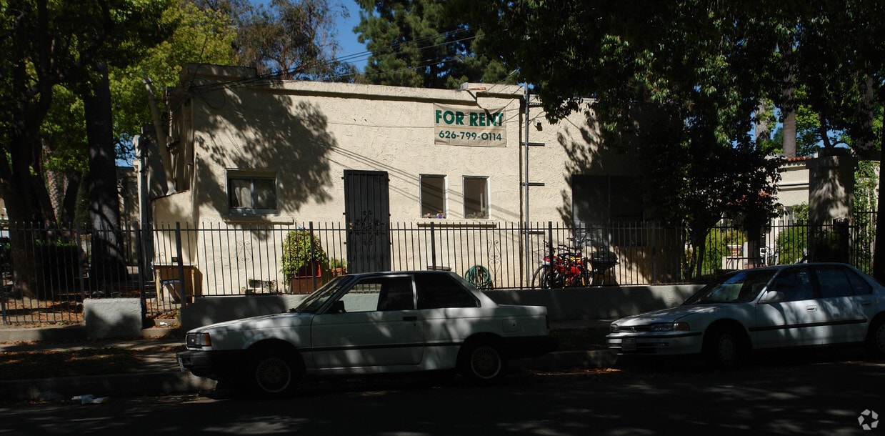
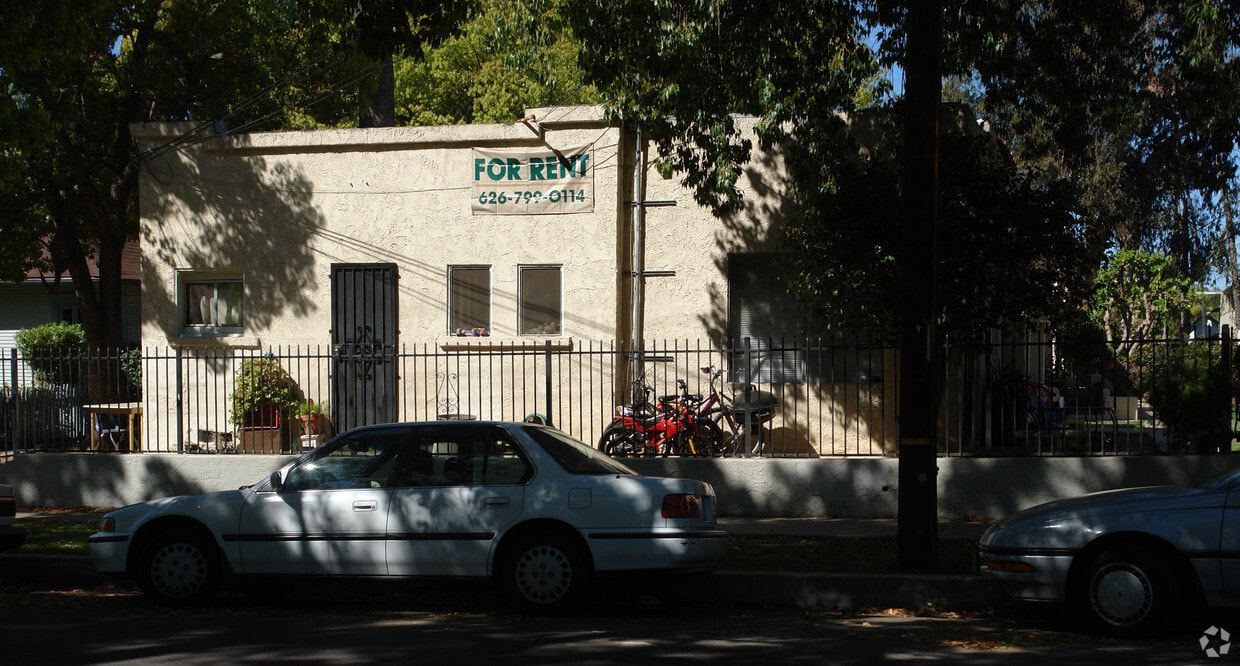
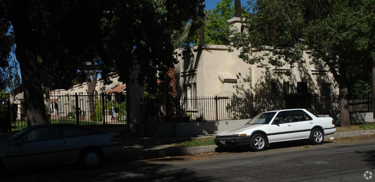
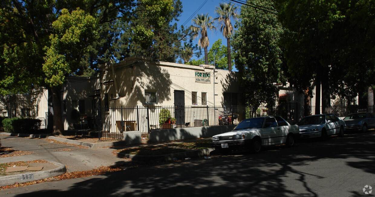

567 Oakland Ave offers a mixture of comfort, style and quality. This apartment community is located in Pasadena on Oakland Ave in the 91101 area. Here at this community, the community staff is excited to help you find your perfect place. Be sure to come for a visit to check out the apartment floorplan options. It's time to find your next place. Contact or stop by the 567 Oakland Ave leasing office to schedule your tour.
567 Oakland Ave is an apartment community located in Los Angeles County and the 91101 ZIP Code. This area is served by the Pasadena Unified School District attendance zone.
Large, attractive homes and sidewalks shaded by a lush canopy of oak trees are the first thing you’ll notice in Pasadena’s Oaks neighborhood. This mainly-residential community enjoys the benefits of a few key resources within walking distance: Madison Elementary School on the north end of the neighborhood is close enough for local students to get to class on foot, and a small cluster of cafes and shops along Los Robles Avenue is an excellent spot to pick up groceries or grab your morning coffee.
The central Pasadena location puts residents just a few blocks north of downtown, making it convenient to walk to the vibrant dining, nightlife, and arts scene along Colorado Boulevard anytime.
Learn more about living in The Oaks PasadenaCompare neighborhood and city base rent averages by bedroom.
| The Oaks Pasadena | Pasadena, CA | |
|---|---|---|
| Studio | $1,666 | $1,974 |
| 1 Bedroom | $1,948 | $2,356 |
| 2 Bedrooms | $2,464 | $3,033 |
| 3 Bedrooms | $3,595 | $3,805 |
| Colleges & Universities | Distance | ||
|---|---|---|---|
| Colleges & Universities | Distance | ||
| Walk: | 14 min | 0.7 mi | |
| Drive: | 5 min | 2.2 mi | |
| Drive: | 6 min | 2.5 mi | |
| Drive: | 6 min | 2.8 mi |


Transportation options available in Pasadena include Memorial Park Station, located 1.0 mile from 567 Oakland Ave. 567 Oakland Ave is near Bob Hope, located 17.1 miles or 23 minutes away, and Los Angeles International, located 25.8 miles or 41 minutes away.
| Transit / Subway | Distance | ||
|---|---|---|---|
| Transit / Subway | Distance | ||
|
|
Walk: | 19 min | 1.0 mi |
|
|
Drive: | 4 min | 1.5 mi |
|
|
Drive: | 3 min | 1.5 mi |
|
|
Drive: | 3 min | 1.8 mi |
|
|
Drive: | 5 min | 2.3 mi |
| Commuter Rail | Distance | ||
|---|---|---|---|
| Commuter Rail | Distance | ||
|
|
Drive: | 13 min | 9.6 mi |
|
|
Drive: | 18 min | 10.8 mi |
|
|
Drive: | 20 min | 10.8 mi |
|
|
Drive: | 20 min | 10.8 mi |
| Drive: | 22 min | 14.9 mi |
| Airports | Distance | ||
|---|---|---|---|
| Airports | Distance | ||
|
Bob Hope
|
Drive: | 23 min | 17.1 mi |
|
Los Angeles International
|
Drive: | 41 min | 25.8 mi |
Scores provided by
Traffic
-Airport
-Businesses
-Scores provided by
HowLoud What is a Sound Score Rating? A Sound Score Rating aggregates noise caused by vehicle traffic, airplane traffic and local sources. How It WorksTime and distance from 567 Oakland Ave.
| Shopping Centers | Distance | ||
|---|---|---|---|
| Shopping Centers | Distance | ||
| Walk: | 5 min | 0.3 mi | |
| Walk: | 20 min | 1.0 mi | |
| Drive: | 3 min | 1.2 mi |
| Parks and Recreation | Distance | ||
|---|---|---|---|
| Parks and Recreation | Distance | ||
|
Kidspace Children's Museum
|
Drive: | 6 min | 2.4 mi |
|
Jet Propulsion Laboratory
|
Drive: | 7 min | 3.5 mi |
|
Huntington Botanical Gardens
|
Drive: | 9 min | 3.6 mi |
|
Eaton Canyon Nature Center
|
Drive: | 8 min | 4.0 mi |
|
Los Angeles County Arboretum
|
Drive: | 10 min | 6.1 mi |
| Hospitals | Distance | ||
|---|---|---|---|
| Hospitals | Distance | ||
| Drive: | 4 min | 2.1 mi | |
| Drive: | 7 min | 3.8 mi | |
| Drive: | 13 min | 5.9 mi |
| Military Bases | Distance | ||
|---|---|---|---|
| Military Bases | Distance | ||
| Drive: | 38 min | 27.4 mi | |
| Drive: | 48 min | 30.7 mi | |
| Drive: | 52 min | 38.2 mi |
Pets Allowed Fitness Center Pool In Unit Washer & Dryer Clubhouse Balcony
Pets Allowed Fitness Center Pool Maintenance on site High-Speed Internet Controlled Access EV Charging
What Are Walk Score®, Transit Score®, and Bike Score® Ratings?
Walk Score® measures the walkability of any address. Transit Score® measures access to public transit. Bike Score® measures the bikeability of any address.
What is a Sound Score Rating?
A Sound Score Rating aggregates noise caused by vehicle traffic, airplane traffic and local sources.


