-
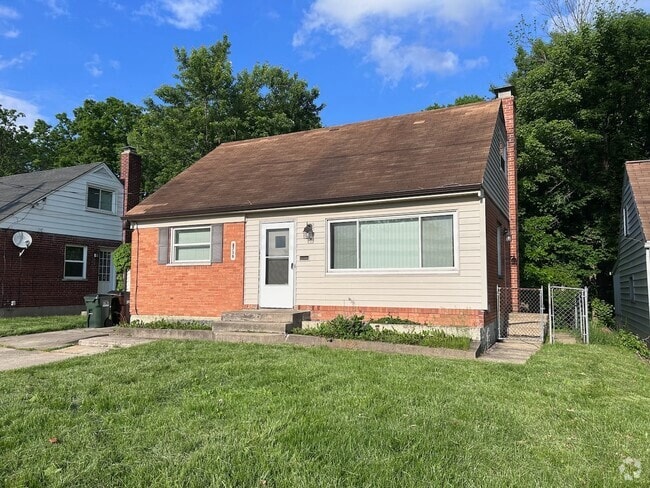
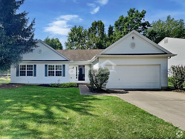
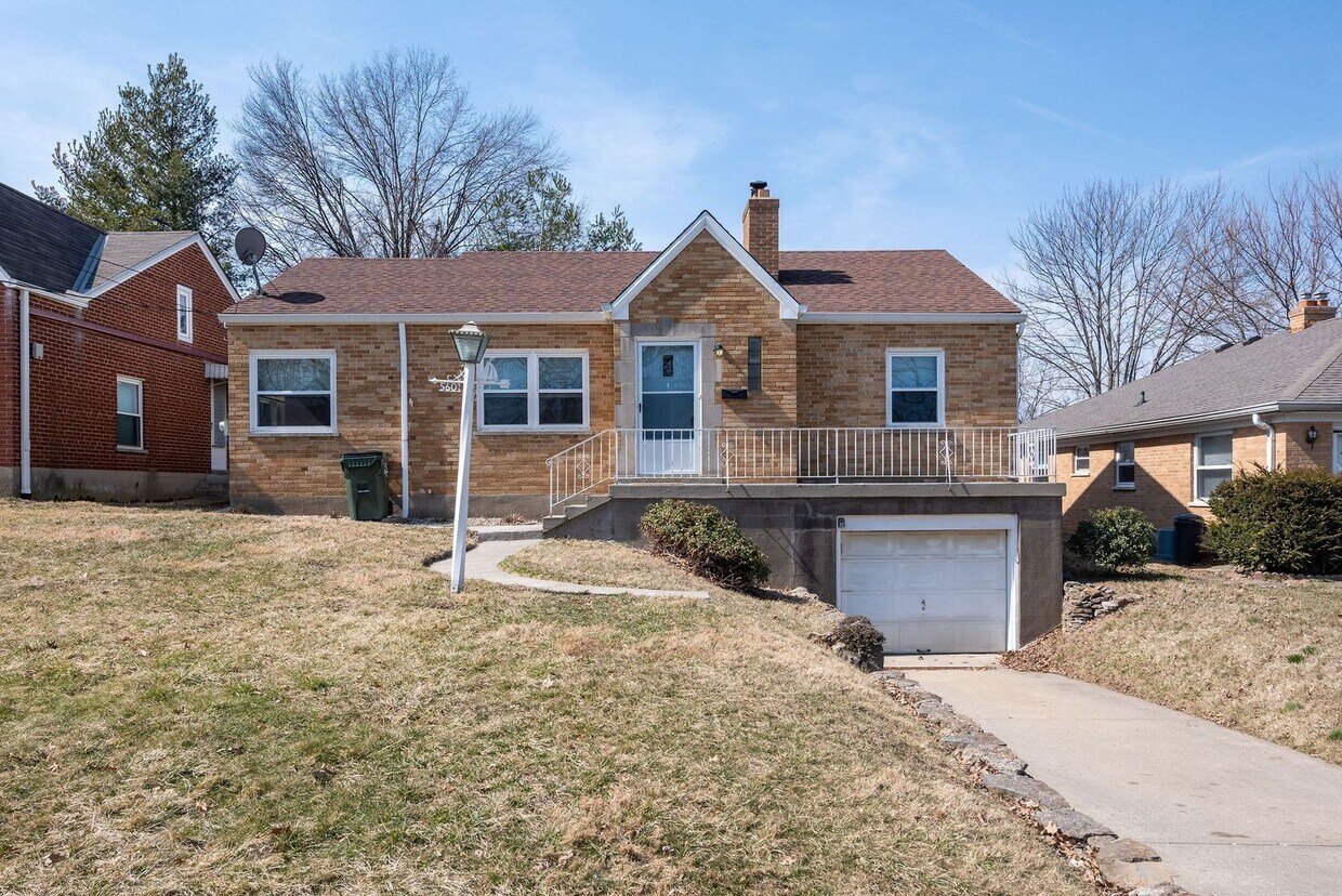
MONFORT HEIGHTS- 3 BEDROOM 1 BATH BRICK RANCH

$1,695 / Month
5601 Samver Rd
Cincinnati, OH 45239
Today
Favorites
513-278-7182
-
Bedrooms
3
-
Bathrooms
1
-
Square Feet
1,208 sq ft
-
Available
Available Now
5601 Samver Rd

Favorites
About This Home
$1,695 deposit,
Available Now
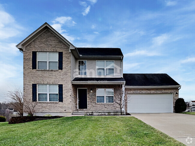
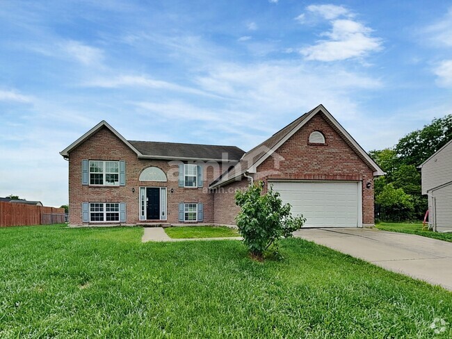
Move right into this 3 bedroom ranch with a formal dining room & loads of natural light. Stainless steel refrigerator & stove. Huge flat backyard great for families & entertaining. Newer roof. Close to highways and shopping. Oversized garage.
5601 Samver Rd is a house located in Hamilton County and the 45239 ZIP Code.
* Price shown is base rent and may not include non-optional fees and utilities.
Price, availability, fees, and any applicable rent special are subject to change without notice.
* Square footage definitions vary. Displayed square footage is approximate.
Contact
- Listed by 3B Realty Group | 3B Realty Group
- Phone Number
- Contact
Location
Get Directions
Located about nine miles north of Downtown Cincinnati, Monfort Heights East provides residents with a suburban setting without being too far to enjoy the amenities of the city. Monfort Heights East has a variety of affordable apartments available for rent. The area has good schools, parks, and access to plenty of restaurants, grocers, and other establishments along North Bend Road. Access to Interstate 74, Route 52, and Route 27 allow for easy travel into neighboring communities and into the heart of Cincinnati. If you’re seeking convenience, affordability, and a quiet atmosphere, Monfort Heights Easts is a great choice.
Learn more about living in Monfort Heights East
Education
| Colleges & Universities | Distance | ||
|---|---|---|---|
| Colleges & Universities | Distance | ||
| Drive: | 14 min | 5.5 mi | |
| Drive: | 15 min | 7.1 mi | |
| Drive: | 17 min | 7.5 mi | |
| Drive: | 20 min | 9.1 mi |
5601 Samver Rd is within 14 minutes or 5.5 miles from Cincinnati State. It is also near University of Cincinnati and Univ. of Cincinnati, Medical.
Transportation options available in Cincinnati include Brewery District Station, Elm & Henry, located 7.8 miles from 5601 Samver Rd. 5601 Samver Rd is near Cincinnati/Northern Kentucky International, located 21.8 miles or 40 minutes away.
| Transit / Subway | Distance | ||
|---|---|---|---|
| Transit / Subway | Distance | ||
| Drive: | 16 min | 7.8 mi | |
| Drive: | 16 min | 7.9 mi | |
| Drive: | 16 min | 8.0 mi | |
| Drive: | 17 min | 8.0 mi | |
| Drive: | 17 min | 8.1 mi |
| Commuter Rail | Distance | ||
|---|---|---|---|
| Commuter Rail | Distance | ||
|
|
Drive: | 16 min | 7.8 mi |
| Airports | Distance | ||
|---|---|---|---|
| Airports | Distance | ||
|
Cincinnati/Northern Kentucky International
|
Drive: | 40 min | 21.8 mi |
Time and distance from 5601 Samver Rd.
| Shopping Centers | Distance | ||
|---|---|---|---|
| Shopping Centers | Distance | ||
| Walk: | 18 min | 1.0 mi | |
| Walk: | 20 min | 1.1 mi | |
| Drive: | 3 min | 1.2 mi |
5601 Samver Rd has 3 shopping centers within 1.2 miles, which is about a 3-minute walk. The miles and minutes will be for the farthest away property.
| Parks and Recreation | Distance | ||
|---|---|---|---|
| Parks and Recreation | Distance | ||
|
Mt. Airy Forest
|
Drive: | 7 min | 2.8 mi |
|
LaBoiteaux Woods
|
Drive: | 8 min | 3.4 mi |
|
Buttercup Valley
|
Drive: | 9 min | 3.8 mi |
|
Farbach-Werner Nature Preserve
|
Drive: | 10 min | 4.4 mi |
|
Caldwell Preserve
|
Drive: | 14 min | 6.2 mi |
5601 Samver Rd has 5 parks within 6.2 miles, including Mt. Airy Forest, LaBoiteaux Woods, and Buttercup Valley.
| Hospitals | Distance | ||
|---|---|---|---|
| Hospitals | Distance | ||
| Drive: | 6 min | 2.2 mi | |
| Drive: | 14 min | 6.4 mi | |
| Drive: | 17 min | 7.6 mi |
5601 Samver Rd has 3 hospitals within 7.6 miles, the nearest is Mercy Health - West Hospital which is 2.2 miles away and a 6 minute drive.
| Military Bases | Distance | ||
|---|---|---|---|
| Military Bases | Distance | ||
| Drive: | 74 min | 53.6 mi | |
| Drive: | 80 min | 58.6 mi | |
| Drive: | 82 min | 61.9 mi |
5601 Samver Rd has 3 military bases within 61.9 miles, the nearest is Gentile Air Force Station which is 53.6 miles away and a 74 minute drive.
You May Also Like
Similar Rentals Nearby
What Are Walk Score®, Transit Score®, and Bike Score® Ratings?
Walk Score® measures the walkability of any address. Transit Score® measures access to public transit. Bike Score® measures the bikeability of any address.
What is a Sound Score Rating?
A Sound Score Rating aggregates noise caused by vehicle traffic, airplane traffic and local sources
5601 Samver Rd
Cincinnati, OH 45239