$3,450
Total Monthly Price
12 Month Lease
56 Morrell St
Boston, MA 02132
Today
|
Edit
Favorites
617-344-9844
-
Bedrooms
3
-
Bathrooms
1
-
Square Feet
1,200 sq ft
-
Available
Available Now
56 Morrell St

Favorites
About This Home
12 Month Lease,
$3,450 deposit,
Available Now
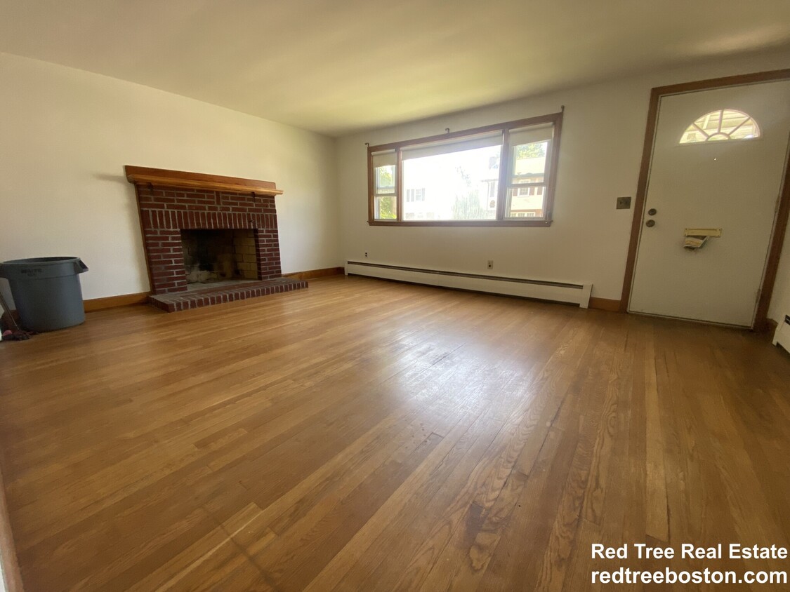
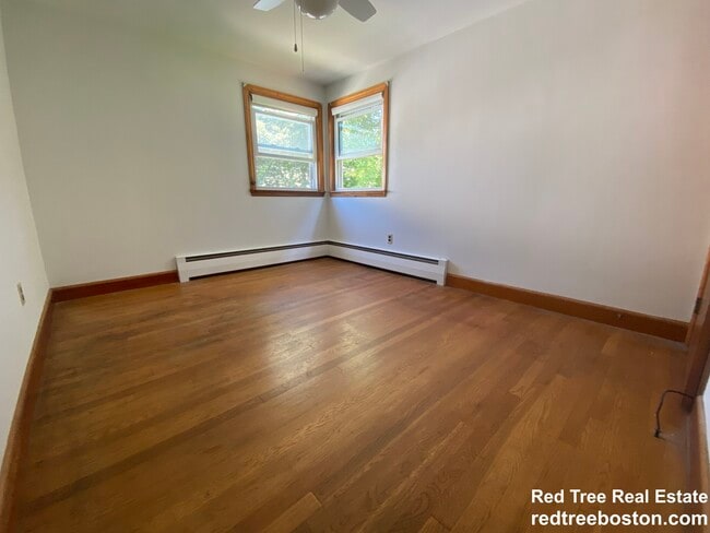
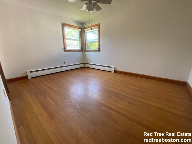
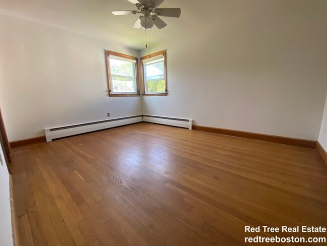
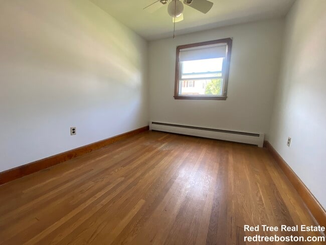
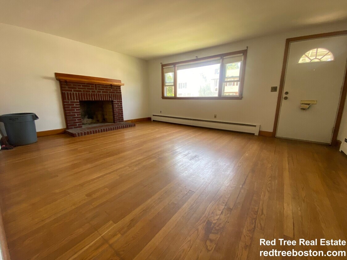
2 Family shingled Victorian.. Unit 1 available. 3 bed, 2 bath unit. Large 1300-1400 sq ft unit. New stove. 400 sq ft private porch in front! New roof being installed in 1-2 months.
56 Morrell St is a house located in Suffolk County and the 02132 ZIP Code.
* Price shown is total price based on community-supplied monthly required fees. Excludes user-selected optional fees and variable or usage-based fees and required charges due at or prior to move-in or at move-out. Price, availability, fees, and any applicable rent special are subject to change without notice.
* Square footage definitions vary. Displayed square footage is approximate.
House Features
- Washer/Dryer Hookup
- Heating
- Cable Ready
- Porch
Fees and Policies
The fees listed below are community-provided and may exclude utilities or add-ons. All payments are made directly to the property and are non-refundable unless otherwise specified.
- Parking
-
Surface Lot--
Contact
- Phone Number
- Contact
Location
Get Directions
Upper Washington-Spring Street is a neighborhood southwest of Boston in West Roxbury. Residents will find that Upper Washington-Spring Street is home to many cozy residential areas and great amenities. The neighborhood’s northern border sits along the Charles River and surrounding parks like Millennium Park, giving residents easy access to outdoor recreation. The hospital that serves this area, West Roxbury VAMC, sits along the river as well. Within Upper Washington-Spring Street, residents will find that picturesque parks like Ohrenberger Woodland Park dot the area. To the east of town, residents can travel along VFW Parkway to get to eateries and retail stores.
This neighborhood is a great town for commuters as the MBTA has both bus stops and rail lines accessible to the area. Apartments and condos scattered throughout town make up the majority of Upper Washington-Spring Street’s diverse rental options.
Learn more about living in Upper Washington-Spring St
Education
| Colleges & Universities | Distance | ||
|---|---|---|---|
| Colleges & Universities | Distance | ||
| Drive: | 13 min | 5.0 mi | |
| Drive: | 13 min | 6.4 mi | |
| Drive: | 15 min | 7.1 mi | |
| Drive: | 14 min | 7.3 mi |
56 Morrell St is within 13 minutes or 5.0 miles from Curry College. It is also near Boston College and Boston College, Brighton.
Transportation options available in Boston include Chestnut Hill Station, located 4.6 miles from 56 Morrell St. 56 Morrell St is near General Edward Lawrence Logan International, located 14.1 miles or 27 minutes away.
| Transit / Subway | Distance | ||
|---|---|---|---|
| Transit / Subway | Distance | ||
|
|
Drive: | 10 min | 4.6 mi |
|
|
Drive: | 9 min | 5.0 mi |
|
|
Drive: | 13 min | 5.6 mi |
|
|
Drive: | 10 min | 5.6 mi |
|
|
Drive: | 11 min | 5.7 mi |
| Commuter Rail | Distance | ||
|---|---|---|---|
| Commuter Rail | Distance | ||
|
|
Walk: | 19 min | 1.0 mi |
|
|
Drive: | 3 min | 1.4 mi |
|
|
Drive: | 5 min | 1.9 mi |
|
|
Drive: | 7 min | 2.7 mi |
|
|
Drive: | 11 min | 4.7 mi |
| Airports | Distance | ||
|---|---|---|---|
| Airports | Distance | ||
|
General Edward Lawrence Logan International
|
Drive: | 27 min | 14.1 mi |
Time and distance from 56 Morrell St.
| Shopping Centers | Distance | ||
|---|---|---|---|
| Shopping Centers | Distance | ||
| Walk: | 11 min | 0.6 mi | |
| Walk: | 15 min | 0.8 mi | |
| Drive: | 4 min | 1.5 mi |
56 Morrell St has 3 shopping centers within 1.5 miles, which is about a 4-minute drive. The miles and minutes will be for the farthest away property.
| Parks and Recreation | Distance | ||
|---|---|---|---|
| Parks and Recreation | Distance | ||
|
Brook Farm Historic Site
|
Walk: | 15 min | 0.8 mi |
|
Stony Brook Reservation
|
Drive: | 6 min | 2.7 mi |
|
Cutler Park Reservation
|
Drive: | 7 min | 4.0 mi |
|
Arnold Arboretum of Harvard University
|
Drive: | 7 min | 4.0 mi |
|
Mass Audubon's Boston Nature Center and Wildlife Sanctuary
|
Drive: | 13 min | 5.0 mi |
56 Morrell St has 5 parks within 5.0 miles, including Brook Farm Historic Site, Stony Brook Reservation, and Arnold Arboretum of Harvard University.
| Hospitals | Distance | ||
|---|---|---|---|
| Hospitals | Distance | ||
| Drive: | 5 min | 3.0 mi | |
| Drive: | 8 min | 4.4 mi | |
| Drive: | 9 min | 4.4 mi |
56 Morrell St has 3 hospitals within 4.4 miles, the nearest is Bournewood Hospital which is 3.0 miles away and a 5 minute drive.
| Military Bases | Distance | ||
|---|---|---|---|
| Military Bases | Distance | ||
| Drive: | 22 min | 11.3 mi | |
| Drive: | 29 min | 17.4 mi |
56 Morrell St is 11.3 miles from US Military Reservation, and is convenient to other military bases, including Hanscom Air Force Base.
Amenities
- Washer/Dryer Hookup
- Heating
- Cable Ready
- Porch
56 Morrell St Photos
What Are Walk Score®, Transit Score®, and Bike Score® Ratings?
Walk Score® measures the walkability of any address. Transit Score® measures access to public transit. Bike Score® measures the bikeability of any address.
What is a Sound Score Rating?
A Sound Score Rating aggregates noise caused by vehicle traffic, airplane traffic and local sources
56 Morrell St
Boston, MA 02132