


$3,000
Total Monthly Price
Total Monthly Price
New
Prices include all required monthly fees.
12 Month Lease
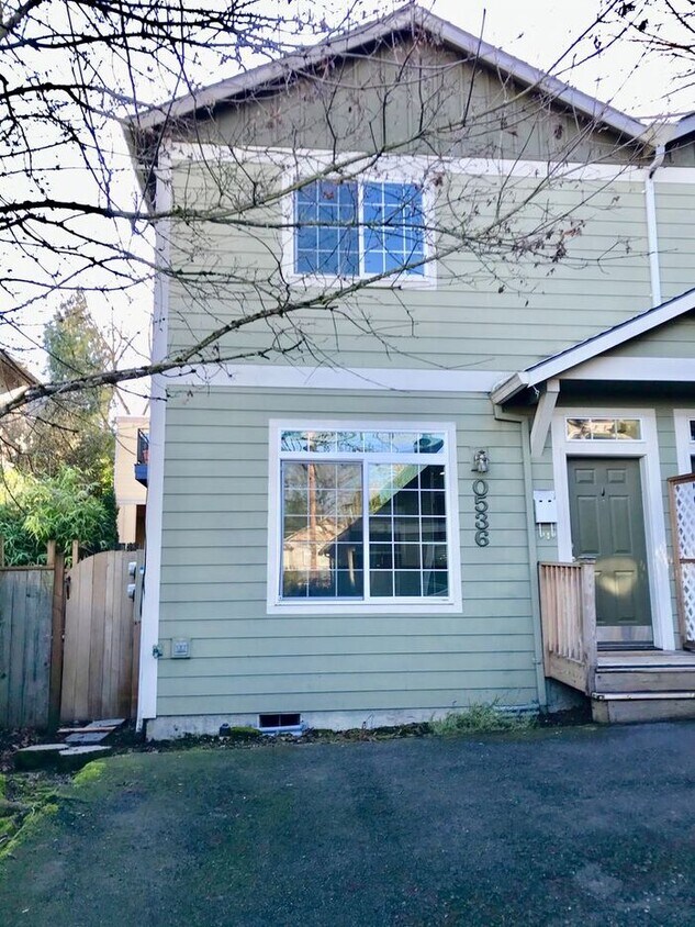
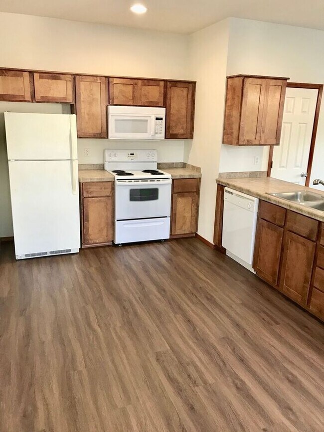
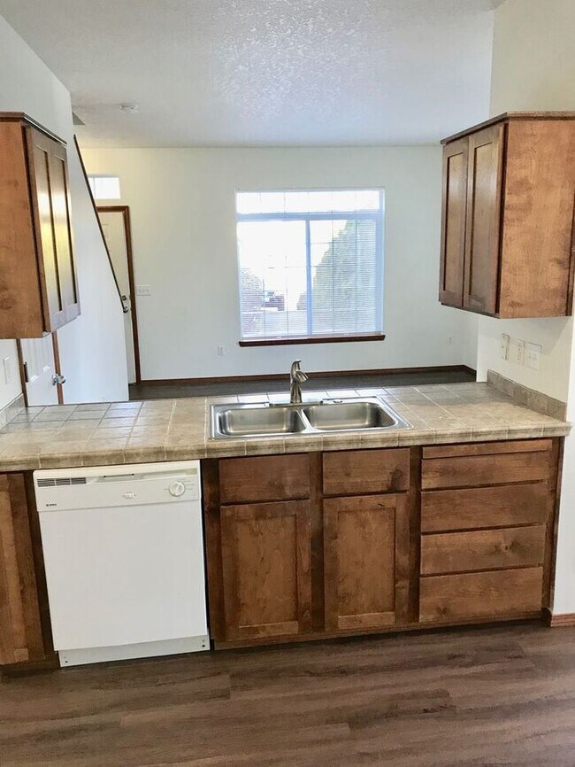
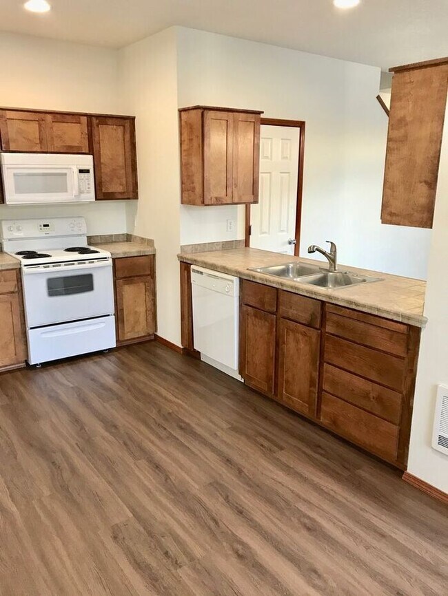
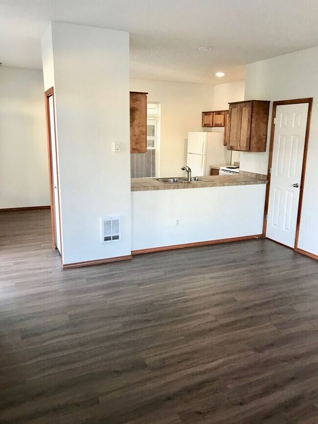
House for Rent
2 Beds, 2 Baths, 2,260 sq ft


 - Quail Park Homes")


