
$1,995 / Month
532-536 SW Nevada St Unit 536
Portland, OR 97219
Today
Favorites
503-617-6414
-
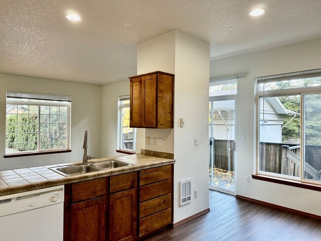
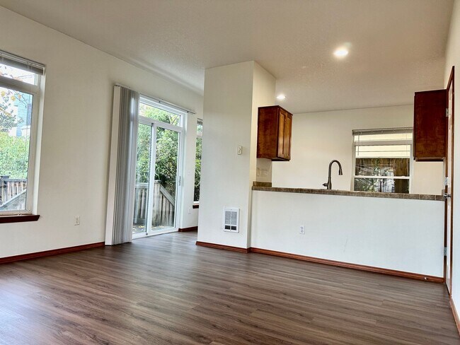
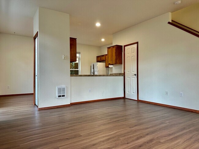
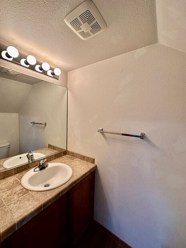
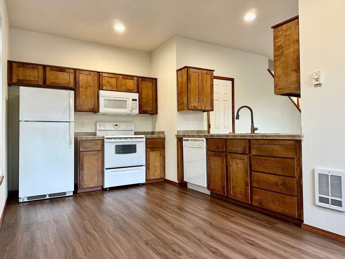
Bedrooms
2
-
Bathrooms
1.5
-
Square Feet
972 sq ft
-
Available
Available Now
532-536 SW Nevada St Unit 536

Favorites
Contact
- Listed by Greenbridge Properties, LLC | Greenbridge Properties, LLC
- Phone Number
- Contact
Location
Get Directions
South Portland blends the charming homes in the suburbs of Southwest Portland with the trendy storefronts and upscale apartments of Downtown Portland. This area contains the South Waterfront, a growing, multi-use neighborhood with high-rise apartments, an extension of the OHSU campus, and top-notch restaurants. Tourists are familiar with South Portland for being home to the city’s most alluring vista, the OHSU tram. The Ariel Tram starts at river’s edge by the South Waterfront, passes over the neighborhood and Interstate 5 up to the top of Marquam Hill. South Portland offers beautiful views of the Williamette River and easy access to Marquam Nature Park, Portland State University, and downtown.
Learn more about living in South Portland
Education
| Colleges & Universities | Distance | ||
|---|---|---|---|
| Colleges & Universities | Distance | ||
| Drive: | 6 min | 2.1 mi | |
| Drive: | 6 min | 2.6 mi | |
| Drive: | 8 min | 2.6 mi | |
| Drive: | 13 min | 3.8 mi |
532-536 SW Nevada St Unit 536 is within 6 minutes or 2.1 miles from Oregon Health & Sci Waterfront. It is also near Lewis & Clark College and Oregon Health & Science Univ..
Transportation options available in Portland include Sw Lowell & Bond, located 1.7 miles from 532-536 SW Nevada St Unit 536. 532-536 SW Nevada St Unit 536 is near Portland International, located 15.3 miles or 27 minutes away.
| Transit / Subway | Distance | ||
|---|---|---|---|
| Transit / Subway | Distance | ||
|
|
Drive: | 4 min | 1.7 mi |
|
|
Drive: | 4 min | 1.8 mi |
|
|
Drive: | 5 min | 1.9 mi |
| Drive: | 8 min | 3.0 mi | |
| Drive: | 10 min | 4.1 mi |
| Commuter Rail | Distance | ||
|---|---|---|---|
| Commuter Rail | Distance | ||
|
|
Drive: | 12 min | 4.8 mi |
|
|
Drive: | 16 min | 6.9 mi |
|
|
Drive: | 16 min | 6.9 mi |
|
|
Drive: | 20 min | 8.2 mi |
|
|
Drive: | 17 min | 9.5 mi |
| Airports | Distance | ||
|---|---|---|---|
| Airports | Distance | ||
|
Portland International
|
Drive: | 27 min | 15.3 mi |
Time and distance from 532-536 SW Nevada St Unit 536.
| Shopping Centers | Distance | ||
|---|---|---|---|
| Shopping Centers | Distance | ||
| Walk: | 2 min | 0.1 mi | |
| Walk: | 10 min | 0.5 mi | |
| Drive: | 5 min | 2.0 mi |
532-536 SW Nevada St Unit 536 has 3 shopping centers within 2.0 miles, which is about a 5-minute walk. The miles and minutes will be for the farthest away property.
| Parks and Recreation | Distance | ||
|---|---|---|---|
| Parks and Recreation | Distance | ||
|
Sellwood Park
|
Drive: | 4 min | 1.4 mi |
|
Sellwood Riverfront Park
|
Drive: | 4 min | 1.4 mi |
|
Oaks Bottom Wildlife Refuge
|
Drive: | 5 min | 1.6 mi |
|
George Himes Park
|
Drive: | 6 min | 2.4 mi |
|
Stephens Creek Natural Area
|
Drive: | 6 min | 2.4 mi |
532-536 SW Nevada St Unit 536 has 5 parks within 2.4 miles, including Sellwood Park, George Himes Park, and Sellwood Riverfront Park.
| Hospitals | Distance | ||
|---|---|---|---|
| Hospitals | Distance | ||
| Drive: | 9 min | 2.9 mi | |
| Drive: | 9 min | 2.9 mi | |
| Drive: | 9 min | 3.6 mi |
532-536 SW Nevada St Unit 536 has 3 hospitals within 3.6 miles, the nearest is Shriners Hospital for Children - Portland which is 2.9 miles away and a 9 minute drive.
| Military Bases | Distance | ||
|---|---|---|---|
| Military Bases | Distance | ||
| Drive: | 24 min | 10.9 mi | |
| Drive: | 49 min | 28.3 mi |
532-536 SW Nevada St Unit 536 is 10.9 miles from Portland Airport Air Guard Station, and is convenient to other military bases, including Camp Bonneville Military Reservation.
You May Also Like
Similar Rentals Nearby


What Are Walk Score®, Transit Score®, and Bike Score® Ratings?
Walk Score® measures the walkability of any address. Transit Score® measures access to public transit. Bike Score® measures the bikeability of any address.
What is a Sound Score Rating?
A Sound Score Rating aggregates noise caused by vehicle traffic, airplane traffic and local sources
532-536 SW Nevada St
Portland, OR 97219