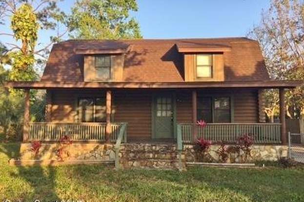
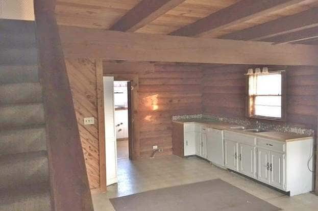
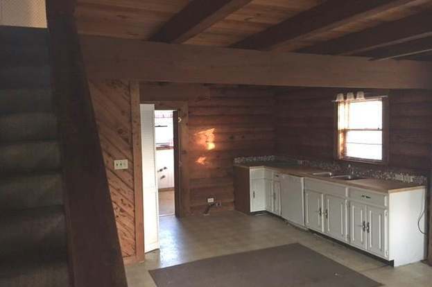
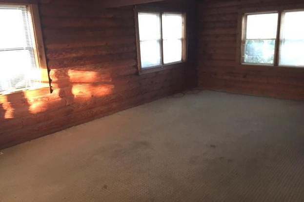
$1,600 / Month

5150 Curtis Blvd

,

Cocoa, FL 32927

Share Listing
Favorites
  • Bedrooms

    3

  • Bathrooms

    3

  • Square Feet

    1,862 sq ft

5150 Curtis Blvd
Share Listing
Favorites

Contact

  • Listed by Locayt
| Edit

Under 30 minutes

Commute Time is calculated at rush hour.
Neighborhood

Located about eight miles north of Downtown Cocoa, the Port Saint John and Cocoa West area keeps residents close to the attractions of Cocoa Beach while providing a more laid-back place to call home. The community is convenient to exciting amenities strewn along U.S. Highway 1, which includes several beloved restaurants and bars.

The Port Saint John Community Center on Corto Road serves as one of the main neighborhood hangouts. The center touts recreation rooms, playgrounds, and basketball courts, making it a great place to stay active. For residents who’d rather hit the water to stay active, the Port Saint John Boat Ramp makes it easy to take boats out on the Indian River. There are plenty of apartments and houses available for rent closer to the Indian River, a popular residential area.

Learn more about living in Port St John/Cocoa West 
Education
Colleges & Universities Distance
Drive: 19 min 9.9 mi
Drive: 25 min 13.7 mi
Drive: 38 min 28.0 mi
Drive: 53 min 32.3 mi
5150 Curtis Blvd is within 19 minutes or 9.9 miles from Eastern Florida State College. It is also near EFSC Titusville and EFSC Melbourne Campus.
Transportation

5150 Curtis Blvd is near Melbourne Orlando International, located 34.5 miles or 47 minutes away, and Orlando International, located 38.6 miles or 48 minutes away.

Commuter Rail Distance
Drive: 51 min 40.7 mi
Drive: 66 min 41.4 mi
Drive: 51 min 41.9 mi
Drive: 61 min 49.4 mi
Airports Distance
Airports Distance
Melbourne Orlando International
Drive: 47 min 34.5 mi
Orlando International
Drive: 48 min 38.6 mi
Getting Around
Somewhat Walkable
Walkability
30 / 100
Limited Public Transit
Transit
30 / 100
Exceptionally Drivable
Drivability
90 / 100
Fairly Bikeable
Bikeability
40 / 100

Scores provided by

What do Walkability, Transit, Drivability, and Bikeability mean? Walkability measures the walking distance to day-to-day needs. Transit measures access to public transportation. Drivability measures congestion, parking availability, and access to major roads. Bikeability measures the suitability for cycling. How It Works
-
Soundscore
- / 100

Traffic

-

Airport

-

Businesses

-

Scores provided by

HowLoud What is a Sound Score Rating? A Sound Score Rating aggregates noise caused by vehicle traffic, airplane traffic and local sources. How It Works
Points of Interest

Time and distance from 5150 Curtis Blvd.

Shopping Centers Distance
Walk: 20 min 1.1 mi
Drive: 5 min 2.7 mi
Drive: 7 min 3.4 mi
5150 Curtis Blvd has 3 shopping centers within 3.4 miles, which is about a 7-minute drive. The miles and minutes will be for the farthest away property.
Parks and Recreation Distance
Enchanted Forest Sanctuary Management and Education Center
Drive: 9 min 5.1 mi
Homer Powell Nature Center
Drive: 13 min 6.5 mi
Mitchell Ellington Park
Drive: 21 min 13.3 mi
Manatee Cove Park
Drive: 23 min 14.6 mi
Sams House at Pine Island Conservation Area
Drive: 26 min 16.2 mi
5150 Curtis Blvd has 5 parks within 16.2 miles, including Enchanted Forest Sanctuary Management and Education Center, Homer Powell Nature Center, and Mitchell Ellington Park.
Military Bases Distance
Drive: 45 min 26.2 mi
Drive: 43 min 32.2 mi
Drive: 204 min 138.3 mi
5150 Curtis Blvd has 3 military bases within 138.3 miles, the nearest is John F Kennedy Space Center which is 26.2 miles away and a 45 minute drive.

You May Also Like

Similar Rentals Nearby