

$5,500 / Month
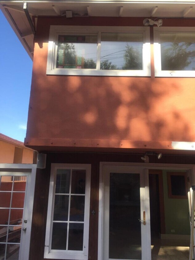
509 Valverde Dr
South San Francisco, CA 94080
2 Weeks Ago
Favorites
509 Valverde Dr

Favorites
Check Back Soon for Upcoming Availability
| Beds | Baths | Average SF |
|---|---|---|
| 3 Bedrooms 3 Bedrooms 3 Br | 2 Baths 2 Baths 2 Ba | 1,780 SF |
509 Valverde Dr is a house located in San Mateo County and the 94080 ZIP Code. This area is served by the South San Francisco Unified attendance zone.
House Features
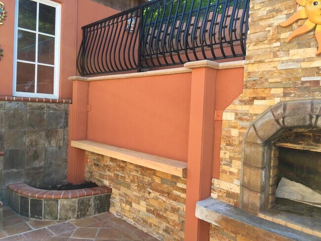
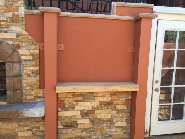
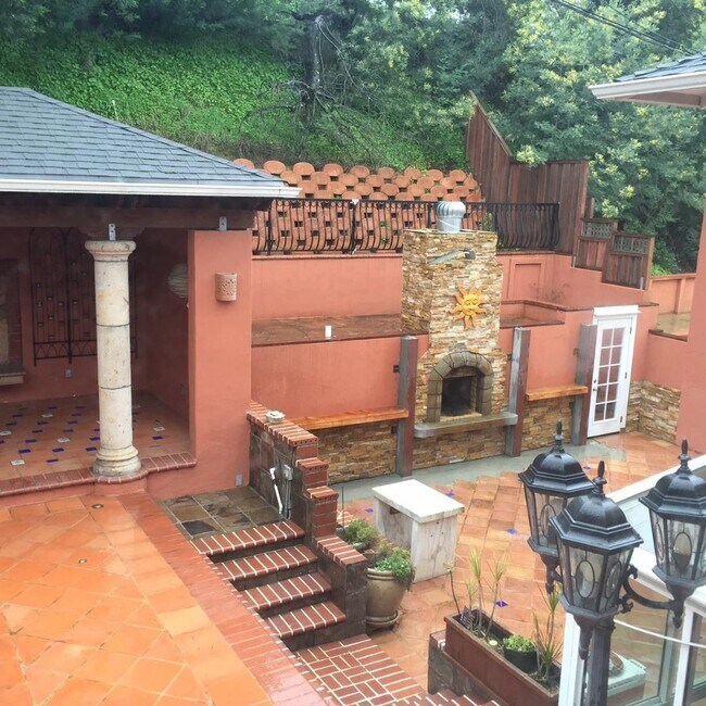
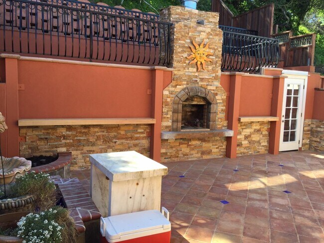
- Fireplace
Location
Get Directions
Avalon is a cozy residential neighborhood along Interstate 280 in South San Francisco. The community is bordered to the north by California Golf Club of San Francisco and to the south by Golden Gate National Cemetery, giving the neighborhood a tranquil atmosphere. Ponderosa Elementary School and Baden High School are both located on the east side, with Los Cerritos Elementary and South San Francisco High School right across El Camino Real, making this a great location for those with school-age kids.
Residents enjoy close access to a handful of shopping centers, with the Shops at Tanforan mall offering up specialty shops, casual dining, and a multiplex movie theater. With the Interstate and San Francisco international Airport close at hand as well, it’s an ideal spot for commuters and frequent travelers.
Learn more about living in AvalonBelow are rent ranges for similar nearby apartments
Amenities
- Fireplace
Education
| Colleges & Universities | Distance | ||
|---|---|---|---|
| Colleges & Universities | Distance | ||
| Drive: | 7 min | 3.3 mi | |
| Drive: | 12 min | 7.2 mi | |
| Drive: | 12 min | 7.6 mi | |
| Drive: | 18 min | 9.8 mi |
509 Valverde Dr is within 7 minutes or 3.3 miles from Skyline College. It is also near City College of San Francisco and San Francisco State University.
Schools


Public Elementary School
Grades K-5
Nearby
Public Elementary School
Grades K-5
351 Students
Attendance Zone
Public Middle School
Grades 6-8
628 Students
Attendance Zone
Public High School
Grades 9-12
1,280 Students
Attendance Zone
Private Elementary, Middle & High School
Grades 1-12
Nearby
Private Elementary & Middle School
Grades PK-8
586 Students
Nearby
Private Elementary & Middle School
Grades K-8
266 Students
Nearby
School data provided by
 The GreatSchools Rating helps parents compare schools within a state based on a variety of school quality indicators and provides a helpful picture of how effectively each school serves all of its students. Ratings are on a scale of 1 (below average) to 10 (above average) and can include test scores, college readiness, academic progress, advanced courses, equity, discipline and attendance data. We also advise parents to visit schools, consider other information on school performance and programs, and consider family needs as part of the school selection process.
View GreatSchools Rating Methodology
Data provided by GreatSchools.org © 2025. All rights reserved.
View GreatSchools Rating Methodology
Data provided by GreatSchools.org © 2025. All rights reserved.
Transportation options available in South San Francisco include San Bruno Station, located 2.5 miles from 509 Valverde Dr. 509 Valverde Dr is near San Francisco International, located 5.2 miles or 10 minutes away, and Metro Oakland International, located 32.2 miles or 45 minutes away.
| Transit / Subway | Distance | ||
|---|---|---|---|
| Transit / Subway | Distance | ||
|
|
Drive: | 5 min | 2.5 mi |
|
|
Drive: | 5 min | 2.7 mi |
|
|
Drive: | 5 min | 2.7 mi |
| Drive: | 6 min | 3.5 mi | |
|
|
Drive: | 7 min | 4.0 mi |
| Commuter Rail | Distance | ||
|---|---|---|---|
| Commuter Rail | Distance | ||
| Drive: | 5 min | 2.6 mi | |
| Drive: | 7 min | 4.6 mi | |
| Drive: | 10 min | 6.1 mi | |
| Drive: | 11 min | 7.1 mi | |
| Drive: | 14 min | 9.2 mi |
| Airports | Distance | ||
|---|---|---|---|
| Airports | Distance | ||
|
San Francisco International
|
Drive: | 10 min | 5.2 mi |
|
Metro Oakland International
|
Drive: | 45 min | 32.2 mi |
Time and distance from 509 Valverde Dr.
| Shopping Centers | Distance | ||
|---|---|---|---|
| Shopping Centers | Distance | ||
| Walk: | 19 min | 1.0 mi | |
| Drive: | 3 min | 1.1 mi | |
| Drive: | 4 min | 1.3 mi |
509 Valverde Dr has 3 shopping centers within 1.3 miles, which is about a 4-minute walk. The miles and minutes will be for the farthest away property.
| Parks and Recreation | Distance | ||
|---|---|---|---|
| Parks and Recreation | Distance | ||
|
Pacifica State Beach
|
Drive: | 11 min | 6.3 mi |
|
San Francisco State Univ. Observatory
|
Drive: | 14 min | 7.9 mi |
|
Charles F. Hagar Planetarium
|
Drive: | 14 min | 7.9 mi |
|
San Bruno Mountain State Park
|
Drive: | 18 min | 8.3 mi |
|
San Pedro Valley Park
|
Drive: | 19 min | 8.5 mi |
509 Valverde Dr has 5 parks within 8.5 miles, including San Bruno Mountain State Park, Pacifica State Beach, and San Francisco State Univ. Observatory.
| Hospitals | Distance | ||
|---|---|---|---|
| Hospitals | Distance | ||
| Drive: | 4 min | 2.1 mi | |
| Drive: | 7 min | 3.7 mi | |
| Drive: | 9 min | 5.6 mi |
509 Valverde Dr has 3 hospitals within 5.6 miles, the nearest is Kaiser Foundation Hospital - South San Francisco which is 2.1 miles away and a 4 minute drive.
| Military Bases | Distance | ||
|---|---|---|---|
| Military Bases | Distance | ||
| Drive: | 25 min | 11.8 mi | |
| Drive: | 25 min | 12.4 mi |
509 Valverde Dr is 11.8 miles from East Fort Miley, and is convenient to other military bases, including West Fort Miley.
You May Also Like
Similar Rentals Nearby


What Are Walk Score®, Transit Score®, and Bike Score® Ratings?
Walk Score® measures the walkability of any address. Transit Score® measures access to public transit. Bike Score® measures the bikeability of any address.
What is a Sound Score Rating?
A Sound Score Rating aggregates noise caused by vehicle traffic, airplane traffic and local sources
509 Valverde Dr
South San Francisco, CA 94080