$2,300
/ Month
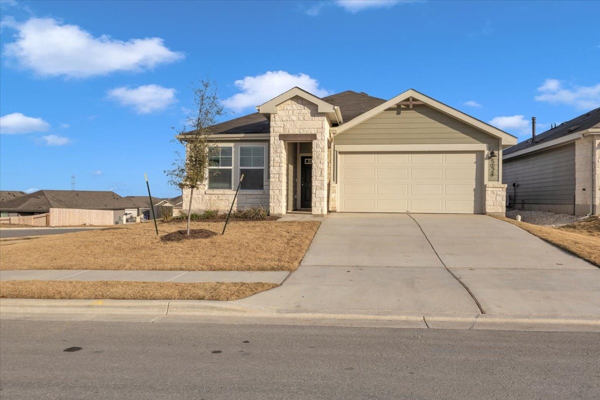
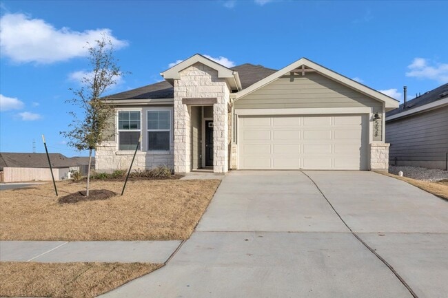
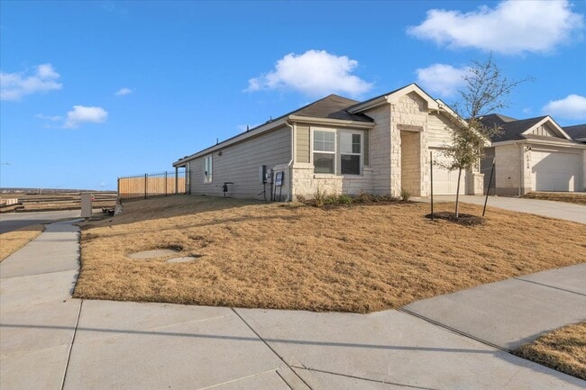
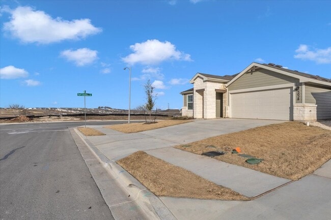
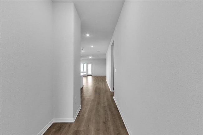
5028 Hazelnut Ln
Austin, TX 78617
Today
|
Edit
Favorites
512-675-3350
-
Bedrooms
4
-
Bathrooms
3
-
Square Feet
--
-
Available
Available Now
5028 Hazelnut Ln

Favorites
Contact
- Listed by KEY REALTY dba of SKTX Inc
- Phone Number
- Contact
Location
Get Directions
Southeast Austin sits just six miles from the heart of Downtown Austin. This expansive locale attracts residents who love outdoor activities due to its proximity to McKinney Falls State Park. With acres of open space, the park provides nearly nine miles of trails, some of which lead to stunning waterfalls and swimming holes.
Austin-Bergstrom International Airport is only a few minutes’ drive from anywhere in the area, meaning traffic shouldn’t be such a nuisance. With convenient access to major highways, this charming neighborhood lies far enough from the city center to provide lots of green space and a suburban feel, yet it remains a very short drive to all the amenities of the city. From affordable apartments to large modern homes with ample backyards, Southeast Austin offers something for every renter's lifestyle.
Learn more about living in Southeast Austin
Education
| Colleges & Universities | Distance | ||
|---|---|---|---|
| Colleges & Universities | Distance | ||
| Drive: | 14 min | 8.7 mi | |
| Drive: | 15 min | 10.1 mi | |
| Drive: | 19 min | 12.4 mi | |
| Drive: | 17 min | 12.5 mi |
5028 Hazelnut Ln is within 14 minutes or 8.7 miles from Austin C.C., Riverside Campus. It is also near Austin C.C., Eastview Campus and St. Edward's University.
Transportation options available in Austin include Plaza Saltillo Station, located 10.6 miles from 5028 Hazelnut Ln. 5028 Hazelnut Ln is near Austin-Bergstrom International, located 6.3 miles or 16 minutes away.
| Transit / Subway | Distance | ||
|---|---|---|---|
| Transit / Subway | Distance | ||
| Drive: | 16 min | 10.6 mi | |
| Drive: | 17 min | 11.0 mi | |
| Drive: | 17 min | 11.3 mi |
| Commuter Rail | Distance | ||
|---|---|---|---|
| Commuter Rail | Distance | ||
|
|
Drive: | 21 min | 12.7 mi |
|
|
Drive: | 43 min | 36.2 mi |
|
|
Drive: | 44 min | 39.1 mi |
| Airports | Distance | ||
|---|---|---|---|
| Airports | Distance | ||
|
Austin-Bergstrom International
|
Drive: | 16 min | 6.3 mi |
Time and distance from 5028 Hazelnut Ln.
| Shopping Centers | Distance | ||
|---|---|---|---|
| Shopping Centers | Distance | ||
| Drive: | 6 min | 3.9 mi | |
| Drive: | 13 min | 8.2 mi | |
| Drive: | 15 min | 9.0 mi |
5028 Hazelnut Ln has 3 shopping centers within 9.0 miles, which is about a 15-minute drive. The miles and minutes will be for the farthest away property.
| Parks and Recreation | Distance | ||
|---|---|---|---|
| Parks and Recreation | Distance | ||
|
McKinney Falls State Park
|
Drive: | 19 min | 9.0 mi |
|
Lady Bird Lake
|
Drive: | 17 min | 10.1 mi |
|
Boggy Creek Greenbelt
|
Drive: | 15 min | 10.2 mi |
|
Walter E. Long Park
|
Drive: | 16 min | 10.4 mi |
|
Onion Creek Greenbelt Park
|
Drive: | 23 min | 12.4 mi |
5028 Hazelnut Ln has 5 parks within 12.4 miles, including McKinney Falls State Park, Walter E. Long Park, and Lady Bird Lake.
| Hospitals | Distance | ||
|---|---|---|---|
| Hospitals | Distance | ||
| Drive: | 18 min | 11.6 mi | |
| Drive: | 19 min | 12.7 mi | |
| Drive: | 17 min | 12.8 mi |
5028 Hazelnut Ln has 3 hospitals within 12.8 miles, the nearest is Dell Seton Medical Center at The University of Texas which is 11.6 miles away and a 18 minute drive.
| Military Bases | Distance | ||
|---|---|---|---|
| Military Bases | Distance | ||
| Drive: | 86 min | 70.8 mi | |
| Drive: | 114 min | 98.6 mi |
5028 Hazelnut Ln is 70.8 miles from Randolph Air Force Base, and is convenient to other military bases, including Camp Bullis Military Training Reservation.
You May Also Like
Similar Rentals Nearby
-
-
-
-
-
-

-
 4 Beds$2,295Total Monthly PriceTotal Monthly Price NewPrices include all required monthly fees.House for Rent
 -

-

-


What Are Walk Score®, Transit Score®, and Bike Score® Ratings?
Walk Score® measures the walkability of any address. Transit Score® measures access to public transit. Bike Score® measures the bikeability of any address.
What is a Sound Score Rating?
A Sound Score Rating aggregates noise caused by vehicle traffic, airplane traffic and local sources

5028 Hazelnut Ln
Austin, TX 78617