

$1,200
/ Month
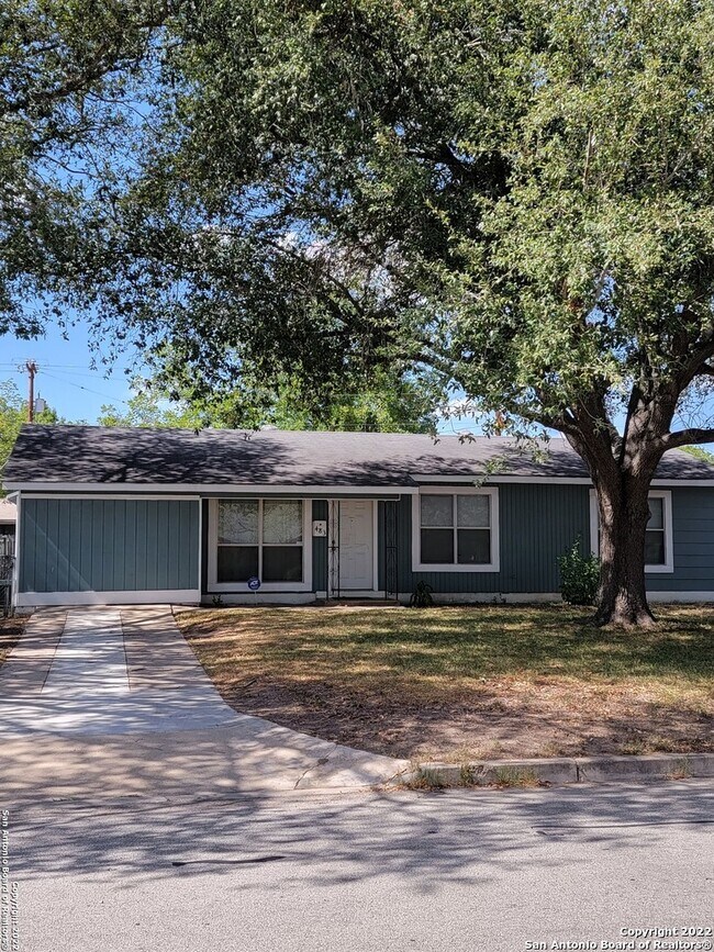
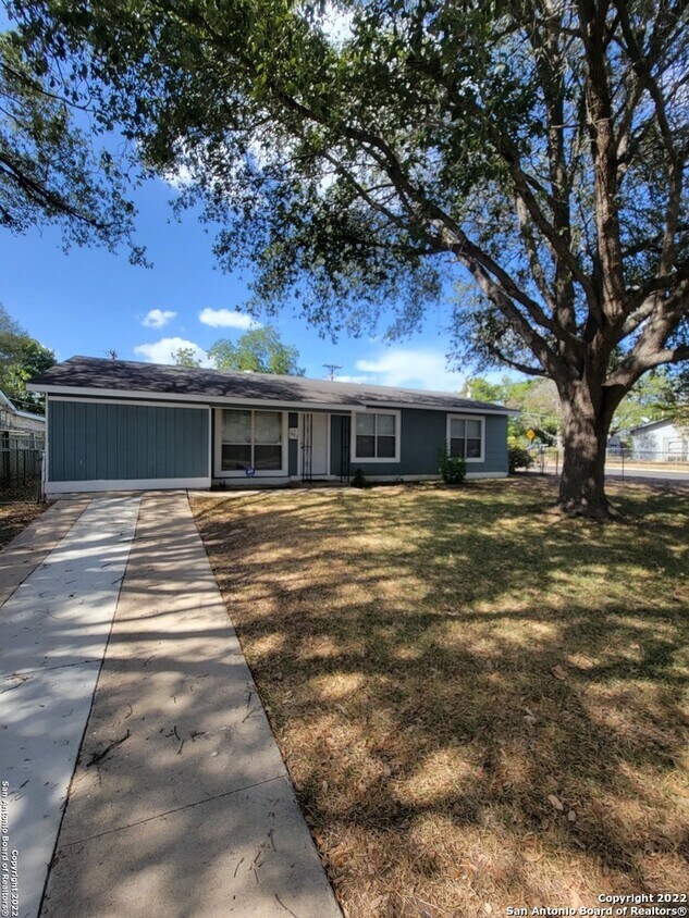
483 Anton Dr
San Antonio, TX 78223
Favorites
-
Bedrooms
3
-
Bathrooms
1
-
Square Feet
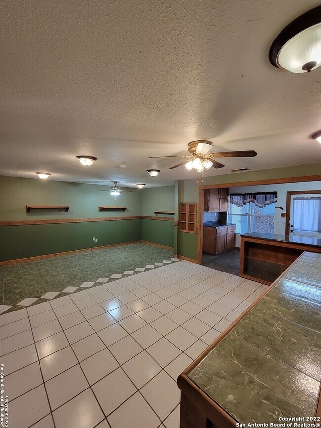
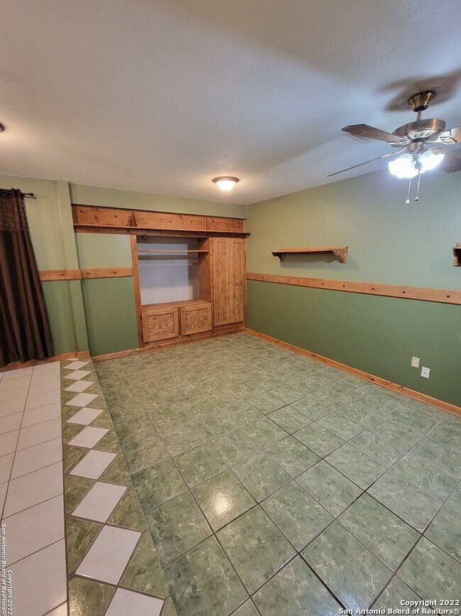
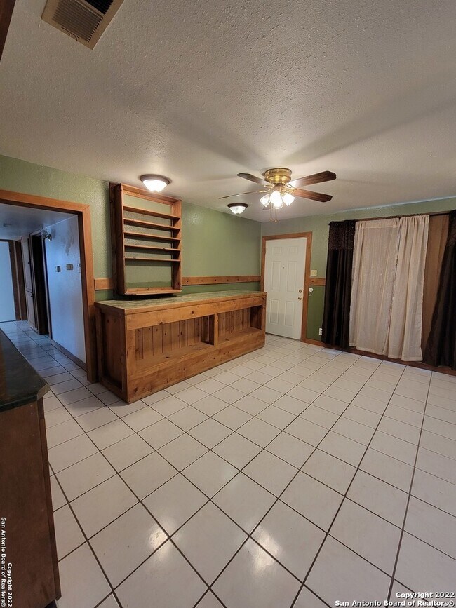
960 sq ft
483 Anton Dr

Favorites
Contact
- Listed by Locayt
Location
Get Directions
Just east of Interstate 37 and only 10 minutes from downtown San Antonio, Highland Hills gives you access to all of San Antonio's amenities at a reasonable cost. This neighborhood features modern townhomes, mid-rise apartments, and ranch-style homes. Multiple large parks lie within close proximity to this neighborhood, so you can get outside and enjoy the sunny weather that locals know and love.
Inexpensive stores and nightlife options mean residents can go out without breaking the bank, while local schools and low housing costs make the area an attractive option for those with children. Residents can go to McCreless Corner Shopping Center or Brooks Corner Shopping Center for all their shopping and dining needs. Find your new home in Highland Hills if amenities and great location are important to you.
Learn more about living in Highland Hills
Education
| Colleges & Universities | Distance | ||
|---|---|---|---|
| Colleges & Universities | Distance | ||
| Drive: | 12 min | 5.7 mi | |
| Drive: | 15 min | 9.3 mi | |
| Drive: | 16 min | 9.9 mi | |
| Drive: | 19 min | 11.8 mi |
483 Anton Dr is within 12 minutes or 5.7 miles from St. Philip's College, MLK. It is also near San Antonio College and Trinity University.
Getting Around
 What do Walkability, Transit, Drivability, and Bikeability mean?
Walkability measures the walking distance to day-to-day needs.
Transit measures access to public transportation.
Drivability measures congestion, parking availability, and access to major roads.
Bikeability measures the suitability for cycling.
How It Works
What do Walkability, Transit, Drivability, and Bikeability mean?
Walkability measures the walking distance to day-to-day needs.
Transit measures access to public transportation.
Drivability measures congestion, parking availability, and access to major roads.
Bikeability measures the suitability for cycling.
How It Works
Fairly Walkable
Walkability
40
/ 100
Limited Public Transit
Transit
30
/ 100
Exceptionally Drivable
Drivability
90
/ 100
Fairly Bikeable
Bikeability
50
/ 100
Scores provided by
-
Soundscore™
-
/ 100
Traffic
-Airport
-Businesses
-Scores provided by
HowLoud What is a Sound Score Rating? A Sound Score Rating aggregates noise caused by vehicle traffic, airplane traffic and local sources. How It WorksYou May Also Like
Similar Rentals Nearby


What Are Walk Score®, Transit Score®, and Bike Score® Ratings?
Walk Score® measures the walkability of any address. Transit Score® measures access to public transit. Bike Score® measures the bikeability of any address.
What is a Sound Score Rating?
A Sound Score Rating aggregates noise caused by vehicle traffic, airplane traffic and local sources.
483 Anton Dr
San Antonio, TX 78223