
Presidential Towers
555 W Madison St,
Chicago, IL 60661
$1,670 - $6,580
Studio - 2 Beds
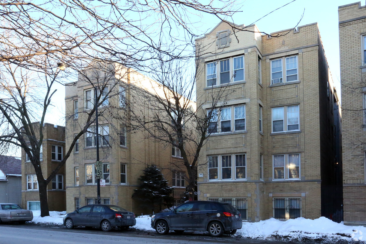
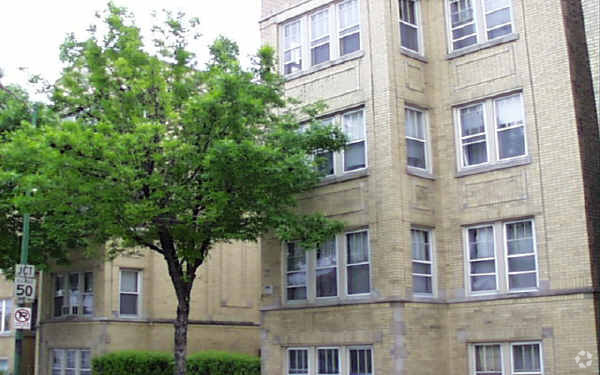
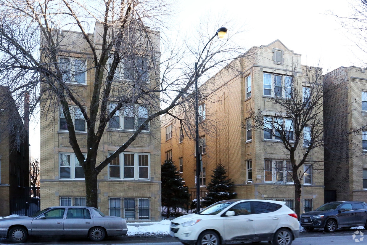
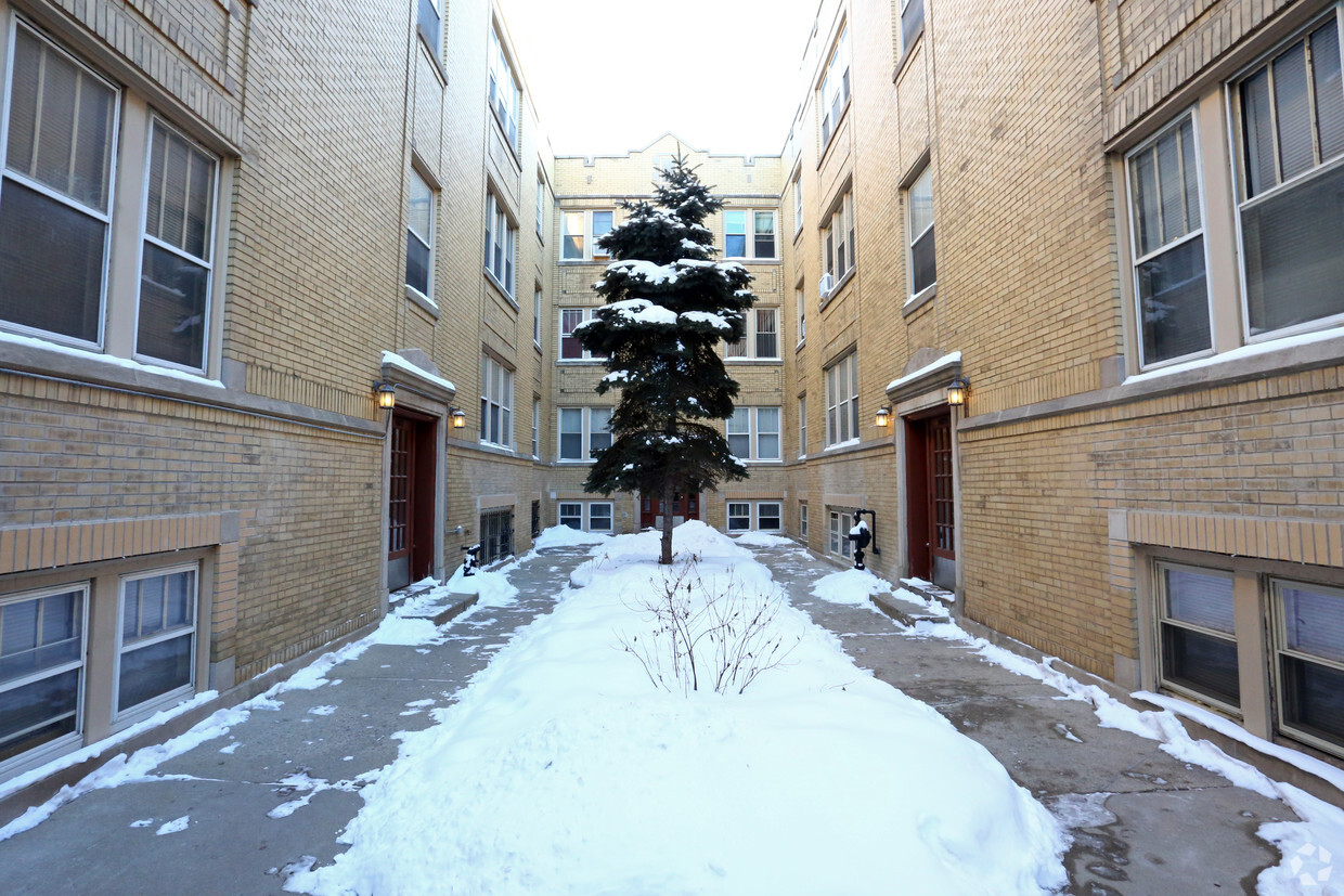
At 4823-4829 W Addison St in Chicago, IL, you've discovered your new home. The location in Chicago's 60641 area has much to offer its residents. The leasing team is ready for you to come for a visit. Come by to check out the apartment floorplan options. Contact us or drop by the leasing office to talk about leasing your new apartment and find your new home at 4823-4829 W Addison St.
4823-4829 W Addison St is an apartment community located in Cook County and the 60641 ZIP Code. This area is served by the Chicago Public Schools attendance zone.
High Speed Internet Access
Refrigerator
Tub/Shower
Smoke Free
Portage Park is a diverse neighborhood, recognized for its Polish culinary influences and museums. There are also quite a lot of bakeries and flower shops in the area. Chopin Park is located on the south end and named after Poland’s most famous and celebrated composer/pianist, Frederic Chopin.
North of Chopin Park is Portage Park for which the neighborhood was named. It has a variety of amenities, such as a dog park and tennis courts, plus a welcoming gateway at the southwest entrance surrounded by landscaping.
This primarily residential area is encompassed by three unique shopping districts, including one called Six Corners. Six Corners is an outdoor shopping destination with European-inspired boutiques and retailers. Residents can travel with ease on the Blue Line transit, or by Interstate 90 and Interstate 94. O’Hare International Airport is nine miles away.
Learn more about living in Portage ParkCompare neighborhood and city base rent averages by bedroom.
| Portage Park | Chicago, IL | |
|---|---|---|
| Studio | $897 | $1,656 |
| 1 Bedroom | $1,158 | $2,057 |
| 2 Bedrooms | $1,359 | $2,599 |
| 3 Bedrooms | $2,116 | $3,114 |
| Colleges & Universities | Distance | ||
|---|---|---|---|
| Colleges & Universities | Distance | ||
| Drive: | 7 min | 3.4 mi | |
| Drive: | 7 min | 3.4 mi | |
| Drive: | 8 min | 4.1 mi | |
| Drive: | 10 min | 4.6 mi |


Transportation options available in Chicago include Belmont Station (Blue Line), located 2.0 miles from 4823-4829 W Addison St. 4823-4829 W Addison St is near Chicago O'Hare International, located 10.4 miles or 17 minutes away, and Chicago Midway International, located 11.2 miles or 23 minutes away.
| Transit / Subway | Distance | ||
|---|---|---|---|
| Transit / Subway | Distance | ||
|
|
Drive: | 3 min | 2.0 mi |
|
|
Drive: | 4 min | 2.1 mi |
|
|
Drive: | 4 min | 2.3 mi |
|
|
Drive: | 4 min | 2.3 mi |
|
|
Drive: | 5 min | 2.7 mi |
| Commuter Rail | Distance | ||
|---|---|---|---|
| Commuter Rail | Distance | ||
|
|
Walk: | 12 min | 0.6 mi |
|
|
Walk: | 21 min | 1.1 mi |
|
|
Drive: | 3 min | 1.4 mi |
|
|
Drive: | 4 min | 2.4 mi |
|
|
Drive: | 7 min | 3.4 mi |
| Airports | Distance | ||
|---|---|---|---|
| Airports | Distance | ||
|
Chicago O'Hare International
|
Drive: | 17 min | 10.4 mi |
|
Chicago Midway International
|
Drive: | 23 min | 11.2 mi |
Scores provided by
Traffic
-Airport
-Businesses
-Scores provided by
HowLoud What is a Sound Score Rating? A Sound Score Rating aggregates noise caused by vehicle traffic, airplane traffic and local sources. How It WorksTime and distance from 4823-4829 W Addison St.
| Shopping Centers | Distance | ||
|---|---|---|---|
| Shopping Centers | Distance | ||
| Walk: | 11 min | 0.6 mi | |
| Walk: | 11 min | 0.6 mi | |
| Walk: | 12 min | 0.6 mi |
| Parks and Recreation | Distance | ||
|---|---|---|---|
| Parks and Recreation | Distance | ||
|
Kilbourn Park
|
Walk: | 12 min | 0.6 mi |
|
Portage Park
|
Drive: | 4 min | 1.9 mi |
|
Labagh Woods
|
Drive: | 6 min | 2.6 mi |
|
Gompers Park
|
Drive: | 5 min | 2.8 mi |
|
Riis Park
|
Drive: | 7 min | 3.4 mi |
| Hospitals | Distance | ||
|---|---|---|---|
| Hospitals | Distance | ||
| Walk: | 20 min | 1.0 mi | |
| Drive: | 7 min | 3.7 mi | |
| Drive: | 9 min | 4.5 mi |
| Military Bases | Distance | ||
|---|---|---|---|
| Military Bases | Distance | ||
| Drive: | 26 min | 18.0 mi | |
| Drive: | 44 min | 28.7 mi | |
| Drive: | 38 min | 28.9 mi |
What Are Walk Score®, Transit Score®, and Bike Score® Ratings?
Walk Score® measures the walkability of any address. Transit Score® measures access to public transit. Bike Score® measures the bikeability of any address.
What is a Sound Score Rating?
A Sound Score Rating aggregates noise caused by vehicle traffic, airplane traffic and local sources.

4823-4829 W Addison St
Chicago, IL 60641


