


2 Beds, 1 Bath, 800 sq ft
$2,000
Total Monthly Price
1 Month Lease
Total Monthly Price
New
Prices include all required monthly fees.
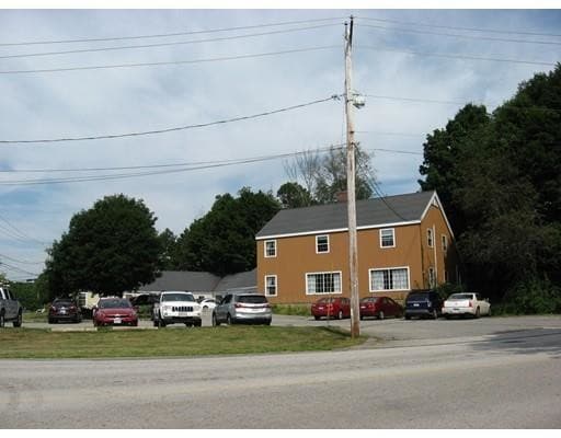
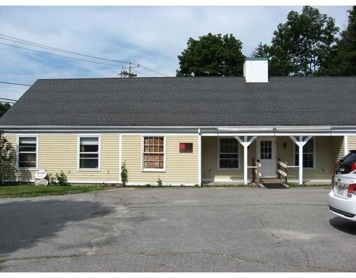
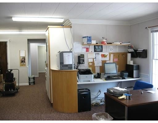
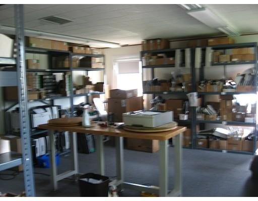
54 Leicester St


")