
$3,600 / Month
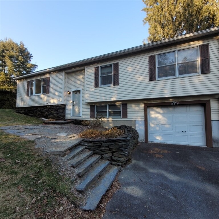
47 River Rd
Deerfield, MA 01373
2 Weeks Ago
Favorites
47 River Rd

Favorites
Check Back Soon for Upcoming Availability
| Beds | Baths | Average SF |
|---|---|---|
| 4 Bedrooms 4 Bedrooms 4 Br | 2 Baths 2 Baths 2 Ba | 1,900 SF |
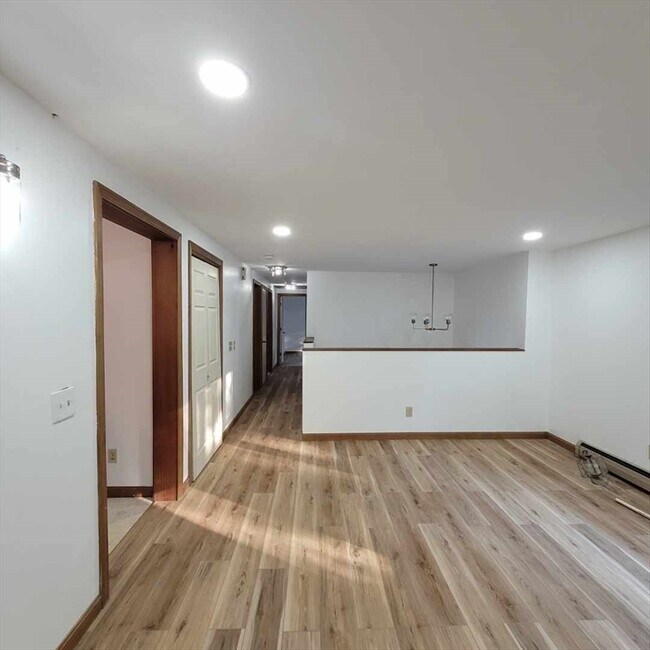
About This Property
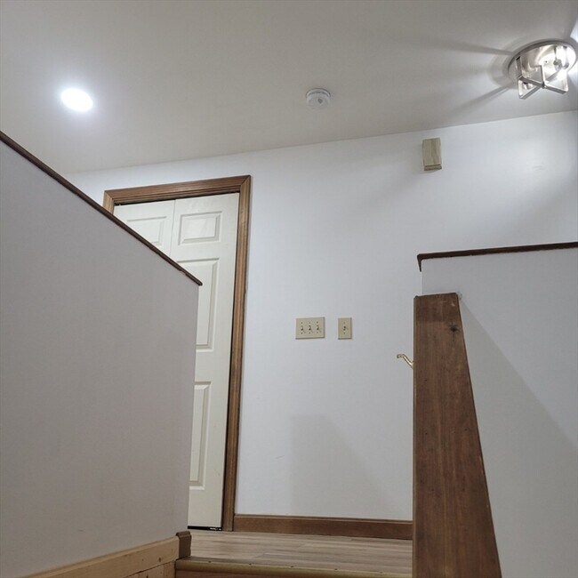
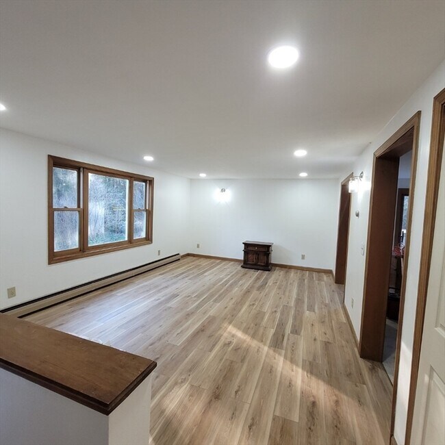
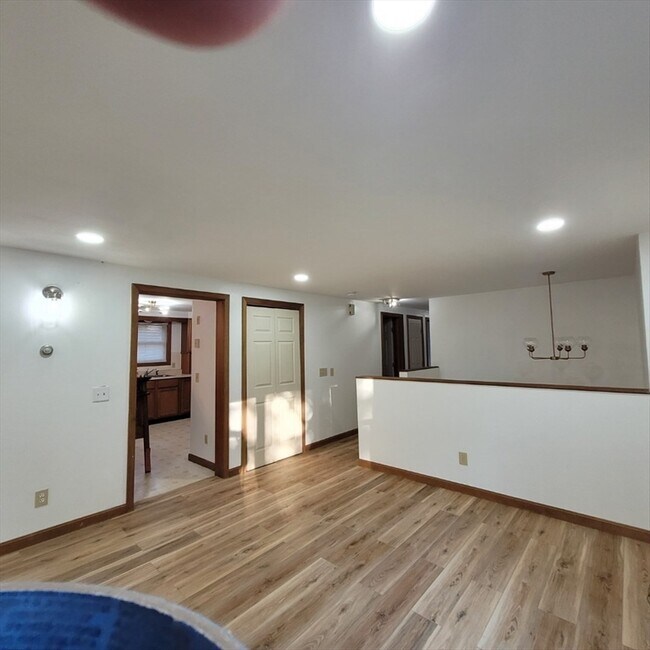
Freshly updated spacious ranch style home with ample yard and water views. The home shows well and is conveniently located near route 91 and across the bridge from Sunderland. Quick access to Amherst via Route 116. Many conveniences in the area. So much more to mention. Showings start Come take a look you won't be disappointed!
47 River Rd is a house located in Franklin County and the 01373 ZIP Code. This area is served by the Deerfield attendance zone.
Location
Get Directions
Education
| Colleges & Universities | Distance | ||
|---|---|---|---|
| Colleges & Universities | Distance | ||
| Drive: | 15 min | 8.4 mi | |
| Drive: | 18 min | 8.7 mi | |
| Drive: | 24 min | 12.3 mi | |
| Drive: | 21 min | 13.1 mi |
47 River Rd is within 15 minutes or 8.4 miles from UMass Amherst. It is also near Amherst College and Hampshire College.
Schools


Public Elementary School
Grades PK-6
309 Students
Attendance Zone
Public Middle & High School
Grades 7-12
606 Students
Attendance Zone
Private Elementary & Middle School
Grades PK-8
123 Students
Nearby
Private Elementary & Middle School
Grades K-9
224 Students
Nearby
Private Middle School
Grades 6-9
Nearby
Private Middle School
Grades 7
Nearby
Private High School
Grades 9-12
633 Students
Nearby
School data provided by
 The GreatSchools Rating helps parents compare schools within a state based on a variety of school quality indicators and provides a helpful picture of how effectively each school serves all of its students. Ratings are on a scale of 1 (below average) to 10 (above average) and can include test scores, college readiness, academic progress, advanced courses, equity, discipline and attendance data. We also advise parents to visit schools, consider other information on school performance and programs, and consider family needs as part of the school selection process.
View GreatSchools Rating Methodology
Data provided by GreatSchools.org © 2025. All rights reserved.
View GreatSchools Rating Methodology
Data provided by GreatSchools.org © 2025. All rights reserved.
You May Also Like
Similar Rentals Nearby


What Are Walk Score®, Transit Score®, and Bike Score® Ratings?
Walk Score® measures the walkability of any address. Transit Score® measures access to public transit. Bike Score® measures the bikeability of any address.
What is a Sound Score Rating?
A Sound Score Rating aggregates noise caused by vehicle traffic, airplane traffic and local sources

47 River Rd
Deerfield, MA 01373