

1 Bed
$1,850+
2 Beds
$2,025+
Total Monthly Price
12 Month Lease
Total Monthly Price
New
Prices include all required monthly fees.
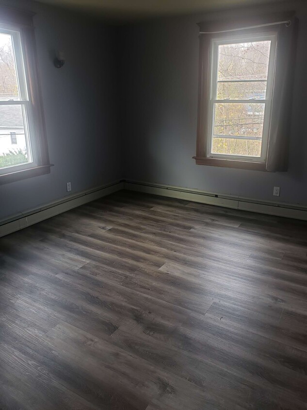
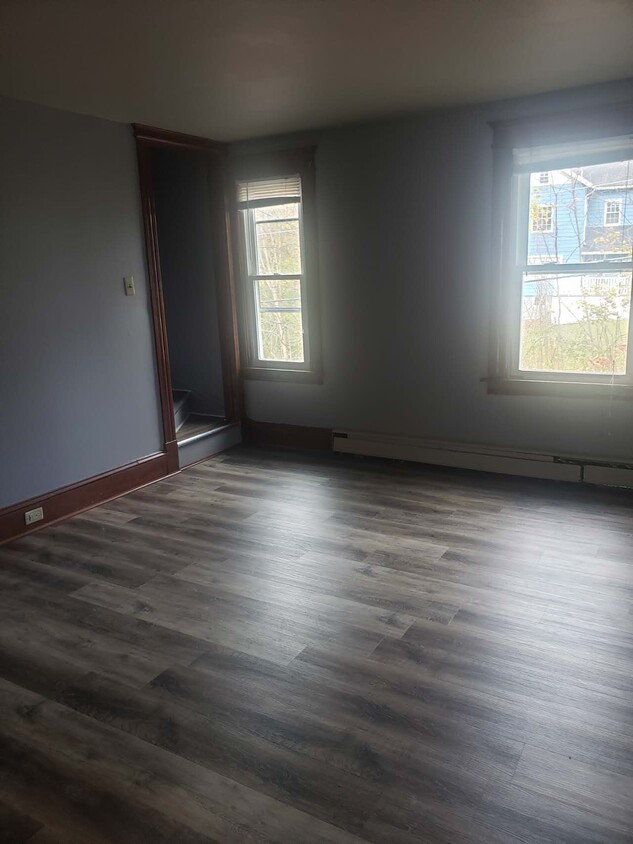
Pets Allowed Dishwasher Balcony Maintenance on site Stainless Steel Appliances Granite Countertops Hardwood Floors


