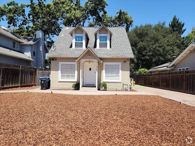
$3,300 / Month
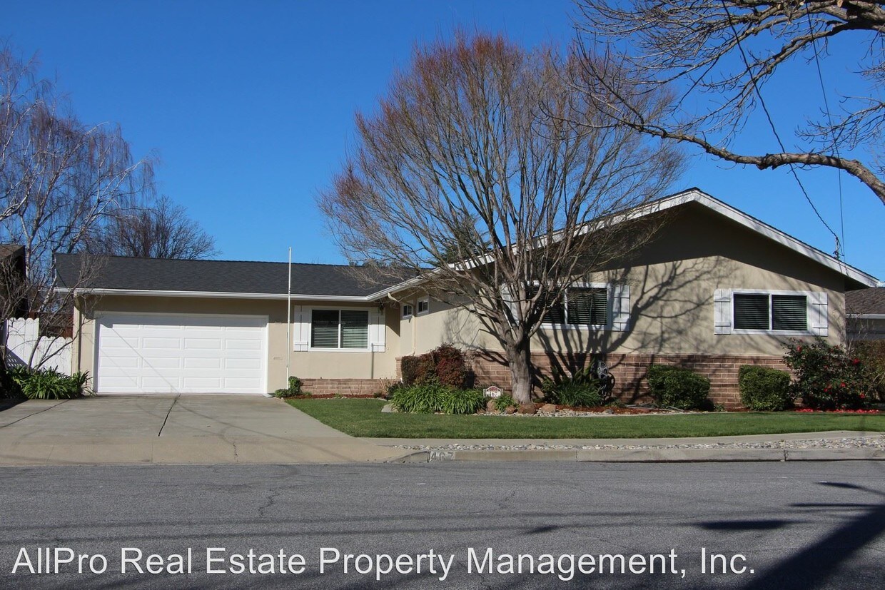
467 School St
Fremont, CA 94536
2 Weeks Ago
Favorites
467 School St

Favorites
Check Back Soon for Upcoming Availability
| Beds | Baths | Average SF |
|---|---|---|
| 3 Bedrooms 3 Bedrooms 3 Br | 2 Baths 2 Baths 2 Ba | 1,580 SF |
About This Property
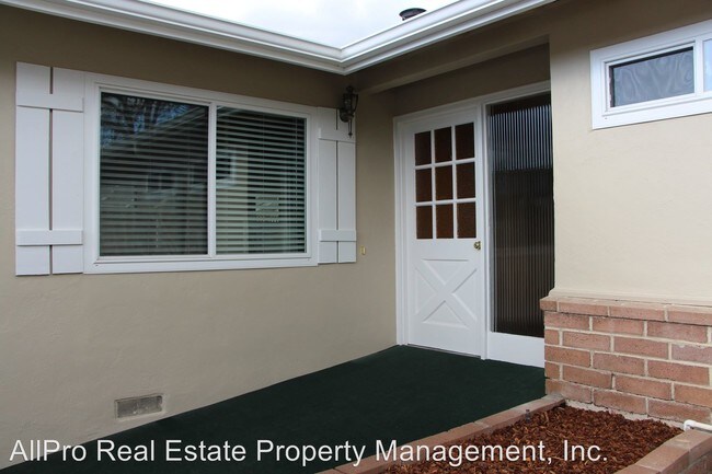
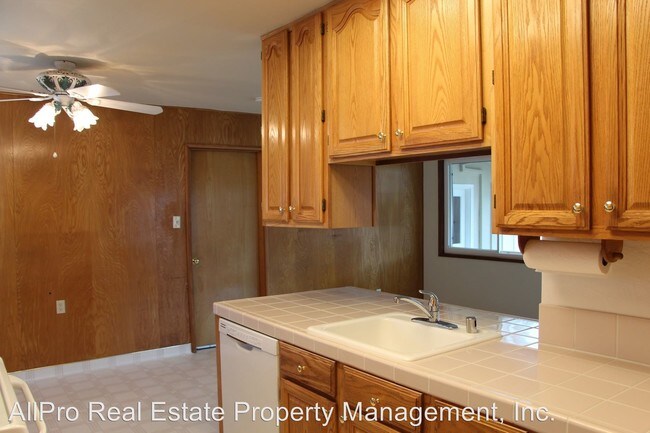
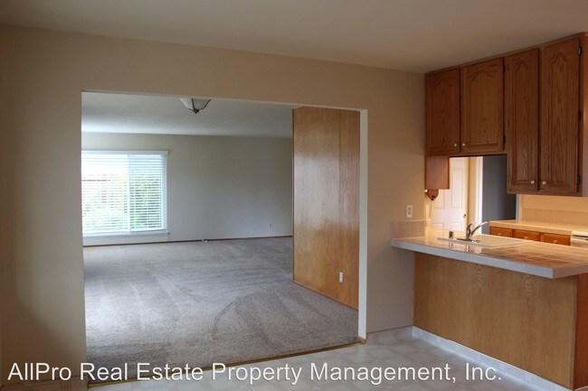
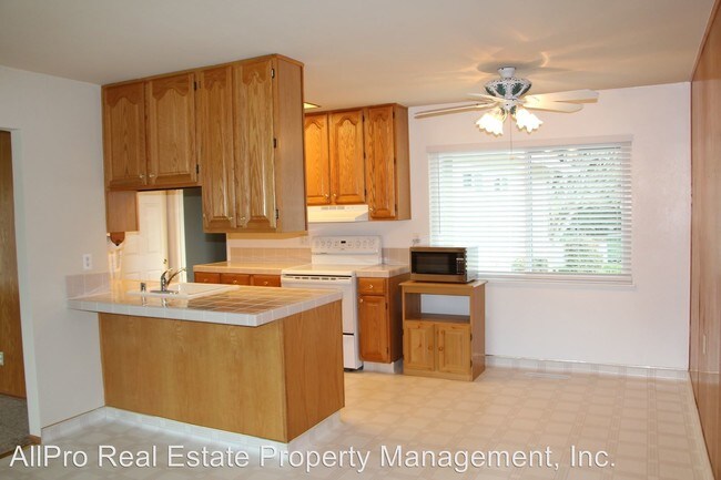
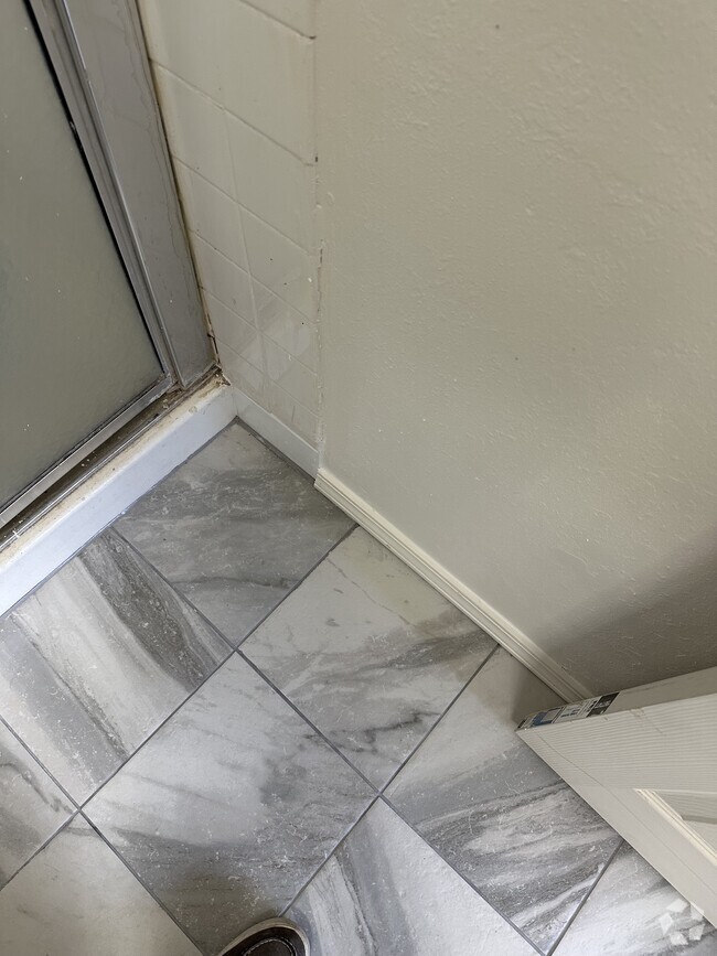
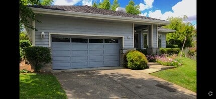
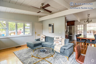
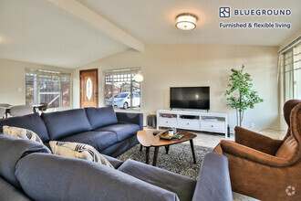
(510) 657-9946 - 467 School Street. - Don't miss this opportunity to rent this beautifully upgraded home in historic Niles! This home is complete with new carpet, fresh paint, custom blinds, newer appliances, completely remodeled bathrooms and much more! Walk to award winning schools, parks and minutes from shopping. (RLNE4694070)
467 School St is a house located in Alameda County and the 94536 ZIP Code. This area is served by the Fremont Unified attendance zone.
Location
Get Directions
Located in the Niles Canyon, Nile is a scenic, historic neighborhood with small-town charm. Niles was once a railroad stop along the first transcontinental rail connection. Along with playing a large role in railroad history, Niles was also a common backdrop for Hollywood’s early film works featuring stars like Charlie Chaplin. Niles is a laid-back Bay Area neighborhood ideal for renters of every age and lifestyle. Niles has mid-range and upscale rentals in a variety of styles from Mediterranean-style single-family to cozy modern apartments.
Families enjoy having access to great schools while all renters enjoy ample amenities close to home. Residents frequent Niles Boulevard, a quaint yet quirky thoroughfare with restaurants, antique shops, ice cream shops, and other businesses located in restored buildings from the early 1900s.
Learn more about living in NilesBelow are rent ranges for similar nearby apartments
Education
| Colleges & Universities | Distance | ||
|---|---|---|---|
| Colleges & Universities | Distance | ||
| Drive: | 13 min | 6.1 mi | |
| Drive: | 13 min | 6.4 mi | |
| Drive: | 17 min | 8.2 mi | |
| Drive: | 19 min | 10.3 mi |
467 School St is within 13 minutes or 6.1 miles from Ohlone College, Fremont Campus. It is also near Ohlone College, Newark and Cal State East Bay.
Schools


Public Elementary School
Grades K-5
343 Students
Nearby
Public Elementary School
Grades 1-5
546 Students
Attendance Zone
Public Middle School
Grades 6-8
946 Students
Attendance Zone
Public High School
Grades 9-12
1,931 Students
Attendance Zone
Private Elementary, Middle & High School
Grades PK-12
691 Students
Nearby
Private Elementary School
Grades PK-2
Nearby
Private Elementary & Middle School
Grades PK-8
142 Students
Nearby
School data provided by
 The GreatSchools Rating helps parents compare schools within a state based on a variety of school quality indicators and provides a helpful picture of how effectively each school serves all of its students. Ratings are on a scale of 1 (below average) to 10 (above average) and can include test scores, college readiness, academic progress, advanced courses, equity, discipline and attendance data. We also advise parents to visit schools, consider other information on school performance and programs, and consider family needs as part of the school selection process.
View GreatSchools Rating Methodology
View GreatSchools Rating Methodology
Transportation options available in Fremont include Union City Station, located 3.1 miles from 467 School St. 467 School St is near Metro Oakland International, located 19.0 miles or 29 minutes away, and Norman Y Mineta San Jose International, located 21.0 miles or 31 minutes away.
| Transit / Subway | Distance | ||
|---|---|---|---|
| Transit / Subway | Distance | ||
|
|
Drive: | 8 min | 3.1 mi |
|
|
Drive: | 8 min | 3.3 mi |
|
|
Drive: | 14 min | 6.3 mi |
|
|
Drive: | 15 min | 7.6 mi |
|
|
Drive: | 19 min | 10.5 mi |
| Commuter Rail | Distance | ||
|---|---|---|---|
| Commuter Rail | Distance | ||
| Drive: | 9 min | 4.0 mi | |
|
|
Drive: | 19 min | 10.9 mi |
| Drive: | 19 min | 10.9 mi | |
| Drive: | 24 min | 14.3 mi | |
| Drive: | 28 min | 18.6 mi |
| Airports | Distance | ||
|---|---|---|---|
| Airports | Distance | ||
|
Metro Oakland International
|
Drive: | 29 min | 19.0 mi |
|
Norman Y Mineta San Jose International
|
Drive: | 31 min | 21.0 mi |
Time and distance from 467 School St.
| Shopping Centers | Distance | ||
|---|---|---|---|
| Shopping Centers | Distance | ||
| Drive: | 8 min | 3.9 mi | |
| Drive: | 9 min | 4.4 mi | |
| Drive: | 9 min | 4.4 mi |
467 School St has 3 shopping centers within 4.4 miles, which is about a 9-minute drive. The miles and minutes will be for the farthest away property.
| Parks and Recreation | Distance | ||
|---|---|---|---|
| Parks and Recreation | Distance | ||
|
Niles Community Park
|
Walk: | 2 min | 0.0 mi |
|
Niles Canyon Railway
|
Walk: | 10 min | 0.6 mi |
|
Alameda Creek Regional Trail
|
Drive: | 7 min | 2.7 mi |
|
Quarry Lakes Regional Recreation Area
|
Drive: | 8 min | 3.0 mi |
|
Central Park (Lake Elizabeth)
|
Drive: | 8 min | 3.5 mi |
467 School St has 5 parks within 3.5 miles, including Niles Community Park, Niles Canyon Railway, and Quarry Lakes Regional Recreation Area.
| Hospitals | Distance | ||
|---|---|---|---|
| Hospitals | Distance | ||
| Drive: | 6 min | 2.9 mi | |
| Drive: | 8 min | 3.6 mi | |
| Drive: | 16 min | 8.1 mi |
467 School St has 3 hospitals within 8.1 miles, the nearest is Washington Hospital which is 2.9 miles away and a 6 minute drive.
| Military Bases | Distance | ||
|---|---|---|---|
| Military Bases | Distance | ||
| Drive: | 36 min | 22.0 mi |
467 School St is 22.0 miles and a 36 minute drive from Ames Research Center.
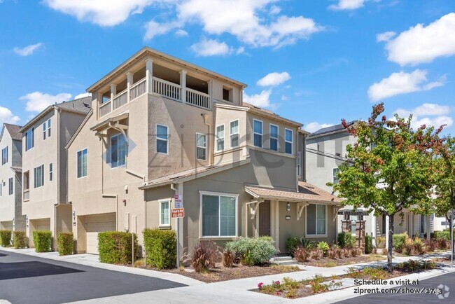
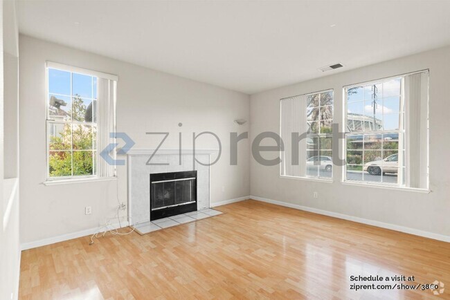
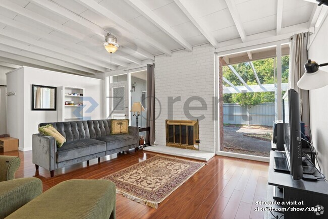
You May Also Like
Similar Rentals Nearby
What Are Walk Score®, Transit Score®, and Bike Score® Ratings?
Walk Score® measures the walkability of any address. Transit Score® measures access to public transit. Bike Score® measures the bikeability of any address.
What is a Sound Score Rating?
A Sound Score Rating aggregates noise caused by vehicle traffic, airplane traffic and local sources

467 School St
Fremont, CA 94536