

$1,600 / Month

464 E Burgess Rd

,

Pensacola, FL 32504

Share Listing
Favorites
850-529-4054
  • Bedrooms

    3

  • Bathrooms

    1.5

  • Square Feet

    1,369 sq ft

  • Available

    Available Now

464 E Burgess Rd
Share Listing
Favorites

About This Home

Available Now

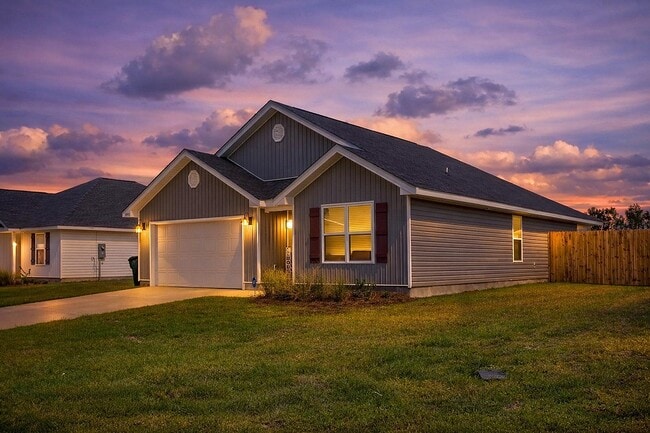
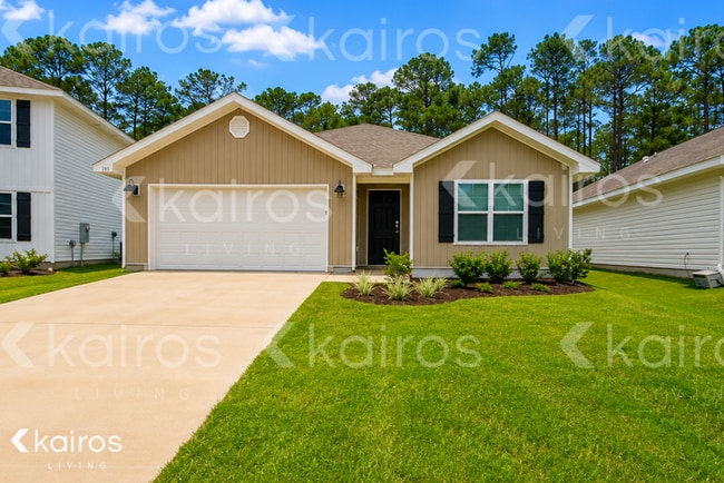
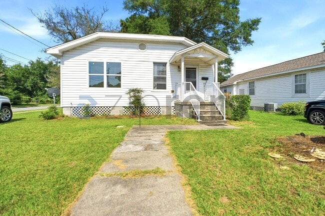
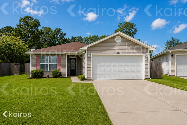
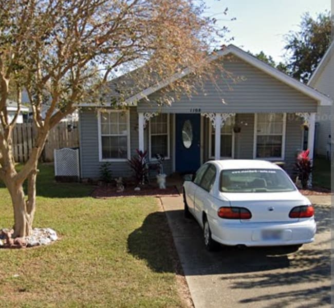
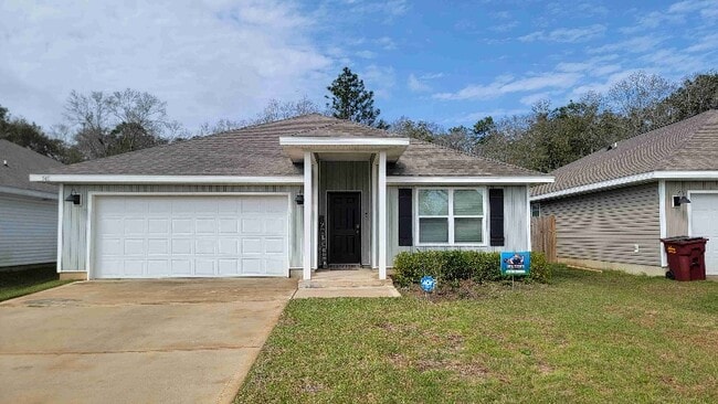
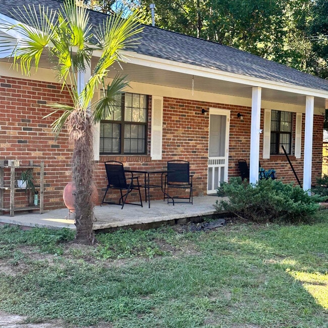
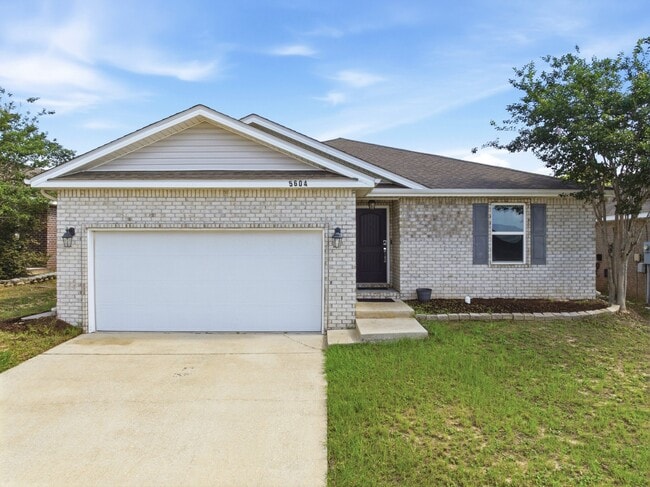
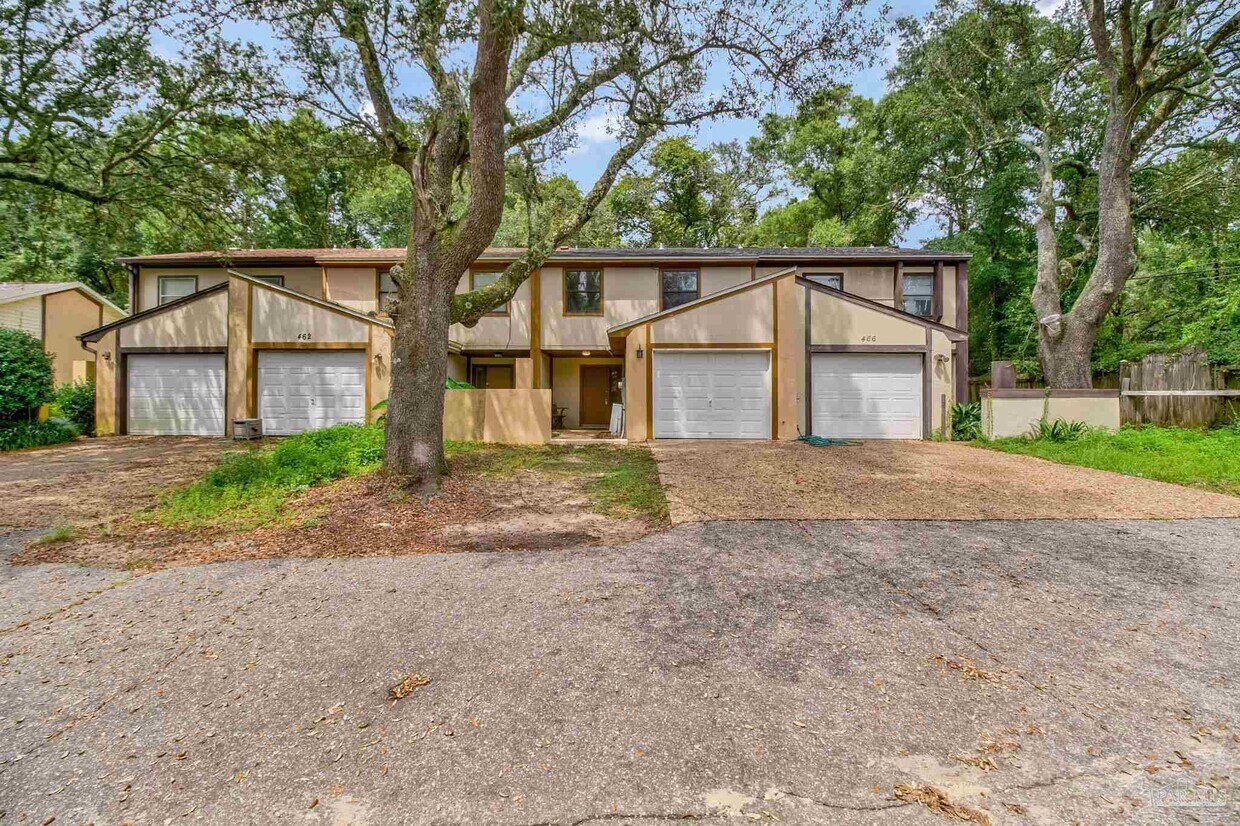
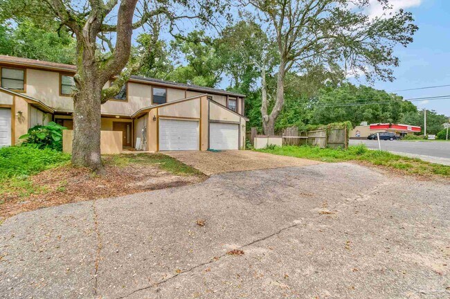
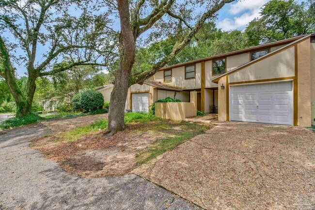
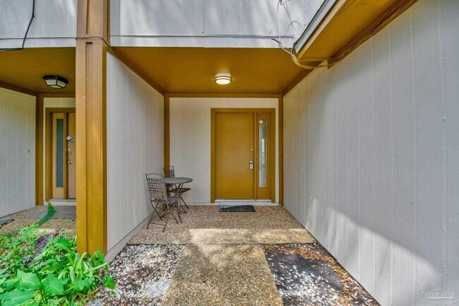
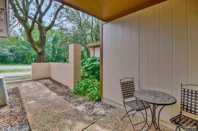
Welcome to 464 E Burgess Road! This newly renovated 3-bedroom,1.5-bath townhome offers a comfortable layout,generous living space,and an attached garage for added convenience and storage. Step inside to find fresh interior paint,new carpet,updated light fixtures,and additional improvements throughout. The spacious interior provides plenty of room for everyday living,entertaining guests,working from home,or creating a flexible space that fits your needs. Conveniently located just minutes from West Florida Hospital,I-10,and Davis Hwy,this home offers quick access to healthcare,shopping,dining,schools,and major roadways. Whether you are purchasing your first home,downsizing,or looking for an investment opportunity,this move-in-ready townhome is one you will not want to miss. Schedule your private showing today!

464 E Burgess Rd is a house located in Escambia County and the 32504 ZIP Code.

* Price shown is base rent. Excludes user-selected optional fees and variable or usage-based fees and required charges due at or prior to move-in or at move-out. Price, availability, fees, and any applicable rent special are subject to change without notice.
* Square footage definitions vary. Displayed square footage is approximate.

Home Details

Home Type

Townhome

Year Built

Built in 1982

Bedrooms and Bathrooms

1.5 Bathrooms 3 Bedrooms

Interior Spaces

1,369 Sq Ft Home 2-Story Property

Listing and Financial Details

Assessor Parcel Number 291S303303004001 Tenant pays for all utilities

Lot Details

3,049 Sq Ft Lot

Schools

Holm Elementary School Ferry Pass Middle School Washington High School

Community Details

Contact

  • Listed by Richard Lafrance | RE/MAX HORIZONS REALTY
  • Phone Number
  • Contact
  • Source
    Pensacola Association of Realtors®
Copyright© 2026 by the Multiple Listing Service of the Pensacola Association of REALTORS® This information is believed to be accurate but is not guaranteed. Subject to verification by all parties. This data is copyrighted and may not be transmitted, retransmitted, copied, framed, repurposed, or altered in any way for any other site, individual and/or purpose without the express written permission of the Multiple Listing Service of the Pensacola Association of REALTORS®. Florida recognizes single and transaction agency relationships. Information Deemed Reliable But Not Guaranteed.
| Edit

Under 30 minutes

Commute Time is calculated at rush hour.
Neighborhood

Ferry Pass sits squarely on the eastern side of Northeast Pensacola and is bisected by Interstate 10. The southern section of Ferry Pass is largely comprised of the Pensacola International Airport. The area surrounding Pensacola International Airport consists of a mix of cozy single-family homes and manicured apartment complexes. Ferry Pass is just seven miles northeast of the city center, and the area provides easy bridge access to the scenic Escambia Bay. Situated on the Gulf of Mexico, Northeast Pensacola, much like the rest of the city, is a beach lover's dream. There’s a diverse rental market here, and the landscape is dotted with restaurants and shops of all types.

Learn more about living in Ferry Pass 
Education
Colleges & Universities Distance
Drive: 8 min 3.4 mi
Drive: 12 min 5.2 mi
Drive: 20 min 9.3 mi
Drive: 23 min 15.5 mi
464 E Burgess Rd is within 8 minutes or 3.4 miles from Pensacola State Coll.. It is also near The University of West Florida and Pensacola State, Warrington.
Transportation

Transportation options available in Pensacola include Pensacola (Downtown), located 7.7 miles from 464 E Burgess Rd. 464 E Burgess Rd is near Pensacola International, located 5.3 miles or 12 minutes away.

Transit / Subway Distance
Pensacola (Downtown)
Drive: 14 min 7.7 mi
Airports Distance
Airports Distance
Pensacola International
Drive: 12 min 5.3 mi
Getting Around
Fairly Walkable
Walkability
50 / 100
Minimal Public Transit
Transit
0 / 100
Exceptionally Drivable
Drivability
100 / 100
Not Bikeable
Bikeability
10 / 100

Scores provided by

What do Walkability, Transit, Drivability, and Bikeability mean? Walkability measures the walking distance to day-to-day needs. Transit measures access to public transportation. Drivability measures congestion, parking availability, and access to major roads. Bikeability measures the suitability for cycling. How It Works
-
Soundscore
- / 100

Traffic

-

Airport

-

Businesses

-

Scores provided by

HowLoud What is a Sound Score Rating? A Sound Score Rating aggregates noise caused by vehicle traffic, airplane traffic and local sources. How It Works
Points of Interest

Time and distance from 464 E Burgess Rd.

Shopping Centers Distance
Walk: 16 min 0.9 mi
Walk: 17 min 0.9 mi
Walk: 18 min 0.9 mi
464 E Burgess Rd has 3 shopping centers within 0.9 mile, which is about a 18-minute walk. The miles and minutes will be for the farthest away property.
Hospitals Distance
Hospitals Distance
Drive: 5 min 2.3 mi
Drive: 7 min 3.3 mi
Drive: 13 min 6.7 mi
464 E Burgess Rd has 3 hospitals within 6.7 miles, the nearest is West Florida Hospital which is 2.3 miles away and a 5 minute drive.
Military Bases Distance
Drive: 26 min 12.1 mi
Drive: 41 min 25.0 mi
Drive: 50 min 28.8 mi
464 E Burgess Rd has 3 military bases within 28.8 miles, the nearest is Pensacola Naval Air Station which is 12.1 miles away and a 26 minute drive.

You May Also Like

Similar Rentals Nearby