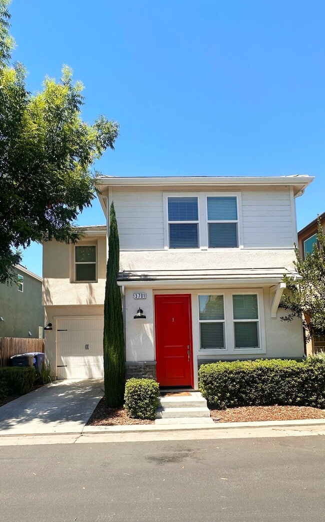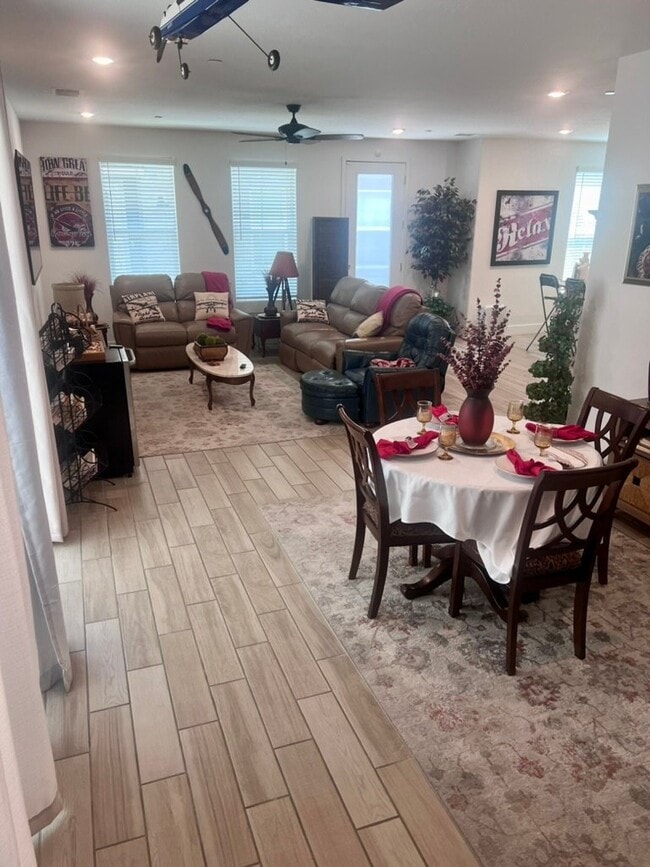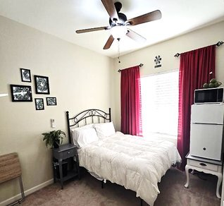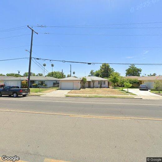
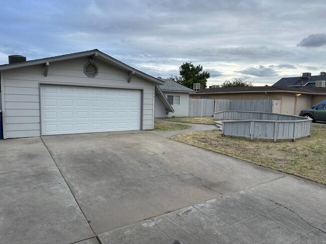
4630 E Gettysburg Ave
4630 E Gettysburg Ave
Fresno, CA 93726
Favorites
4630 E Gettysburg Ave

Favorites
Check Back Soon for Upcoming Availability
4630 E Gettysburg Ave,
Fresno,
CA
93726
Fresno sits at the heart of California's San Joaquin Valley, and its identity is shaped as much by the farmland stretching to the horizon as by the Sierra Nevada rising just to the east. Founded in 1872 as a Central Pacific Railroad stop and named for the ash trees along the San Joaquin River, the city has grown into the fifth most populous in California and the state's largest inland city. California State University, Fresno anchors the local economy alongside a strong healthcare sector anchored by Community Regional Medical Center, giving the city steady employment depth.
Neighborhoods each carry their own personality. The Tower District draws renters with its historic bungalows, live music at the Tower Theatre, and an arts-forward stretch of cafes and breweries. Downtown is home to the Brewery District, the Saroyan Theatre, and a walkable mural district.
Learn more about living in Fresno
Education
| Colleges & Universities | Distance | ||
|---|---|---|---|
| Colleges & Universities | Distance | ||
| Drive: | 5 min | 2.3 mi | |
| Drive: | 9 min | 5.0 mi | |
| Drive: | 13 min | 6.6 mi | |
| Drive: | 43 min | 31.0 mi |
4630 E Gettysburg Ave is within 5 minutes or 2.3 miles from Fresno State. It is also near Fresno City College and Fresno Pacific University.
Walkability Near 4630 E Gettysburg Ave Fresno, CA 93726
Getting Around
 What do Walkability, Transit, Drivability, and Bikeability mean?
Walkability measures the walking distance to day-to-day needs.
Transit measures access to public transportation.
Drivability measures congestion, parking availability, and access to major roads.
Bikeability measures the suitability for cycling.
How It Works
What do Walkability, Transit, Drivability, and Bikeability mean?
Walkability measures the walking distance to day-to-day needs.
Transit measures access to public transportation.
Drivability measures congestion, parking availability, and access to major roads.
Bikeability measures the suitability for cycling.
How It Works
Fairly Walkable
Walkability
50
/ 100
Limited Public Transit
Transit
30
/ 100
Exceptionally Drivable
Drivability
100
/ 100
Fairly Bikeable
Bikeability
50
/ 100
Scores provided by
What do Walkability, Transit, Drivability, and Bikeability mean?
Walkability measures the walking distance to day-to-day needs.
Transit measures access to public transportation.
Drivability measures congestion, parking availability, and access to major roads.
Bikeability measures the suitability for cycling.
How It Works
-
Soundscore™
-
/ 100
Traffic
-Airport
-Businesses
-Scores provided by
HowLoud What is a Sound Score Rating? A Sound Score Rating aggregates noise caused by vehicle traffic, airplane traffic and local sources. How It Works