1 / 15


| Beds | Baths | Average SF |
|---|---|---|
| 2 Bedrooms 2 Bedrooms 2 Br | 1 Bath 1 Bath 1 Ba | 1,000 SF |
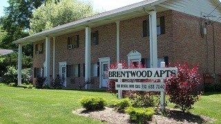
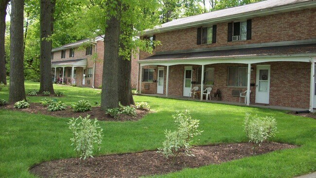
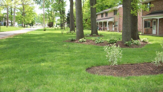
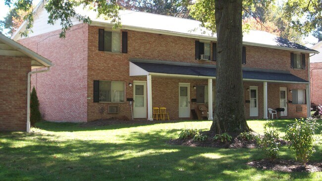
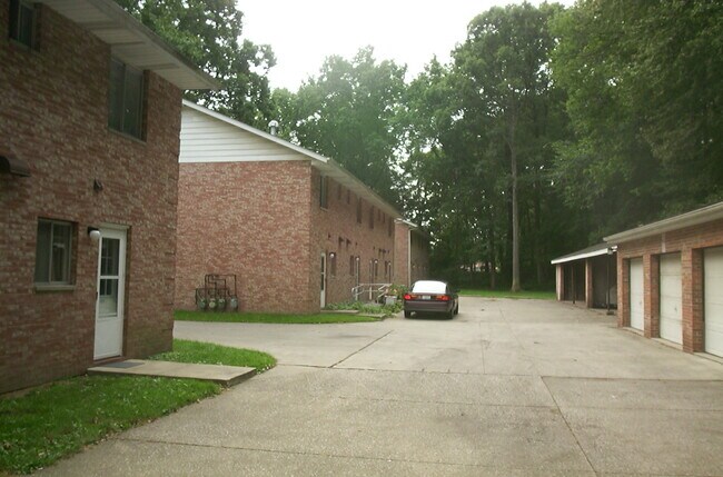
************** Rent $865. ********** INCLUDES WATER , SEWER AND TRASH SERVICES WASHER AND DRYER HOOK UPS IN UNIT *Please note a mask and proper social distancing will be required when viewing our properties. Thank You Caslee Management These units are approximately 940 sq ft with a nice spacious floor plan. This park like setting is conveniently located in Kent near the Stow border, within walking distance of Metro Park walk/bike trail on North River Rd. Also easy access to KSU by Kent rd / or the Akron Blvd to RT 261 to Campus loop cut thru. + Living Room 1 16 X 17 Kitchen 1 11 X 17 Master Bedroom 2 13 X 14 2 Bedroom 2 13 X 13 Elementary School Longpoint Middle School Stanton High School Kent Roosevelt High DRIVE BY TODAY AND CHECK OUT THIS NICE FAMILY TOWNHOME! Many of the units have been recently updated with ceramic tile and wood laminate floors!! Features: * Large Master bedroom * Park-like Setting * Lawn maintenance and Snow removal included * Carports * Water Sewer * Trash Service Included * Laundry room on Premises * Convenient location, close to KSU campus, shopping, restaurants, expressway * Pet Friendly (restrictions apply) * Verifiable Income *Sorry No Sec 8 * Credit Score of 675+ *Please note a mask and proper social distancing will be required when viewing our properties. Thank You Caslee Management
463 Brentwood Dr is a townhome located in Portage County and the 44240 ZIP Code. This area is served by the Kent City School District attendance zone.
Kent, Ohio carries the unmistakable pulse of a college town rooted in real history, sitting along the Cuyahoga River in the heart of Portage County. Kent State University anchors daily life here, drawing a steady mix of students, educators, and healthcare workers who all call this compact, 10-square-mile city home. Originally settled in 1805 as Franklin Mills, the city grew around water-powered industry and canal trade before evolving into the academic and cultural hub it is today. Kent State's May 4 memorial remains one of the most significant historical sites in the country, a reminder that this small city has carried genuine weight in American history.
Neighborhoods close to campus offer walkable streets lined with locally owned shops and coffee houses, while areas farther from the university feel quieter and more residential.
Learn more about living in Kent| Colleges & Universities | Distance | ||
|---|---|---|---|
| Colleges & Universities | Distance | ||
| Drive: | 9 min | 3.5 mi | |
| Drive: | 24 min | 11.1 mi | |
| Drive: | 42 min | 23.0 mi | |
| Drive: | 40 min | 27.8 mi |


Scores provided by
Traffic
-Airport
-Businesses
-Scores provided by
HowLoud What is a Sound Score Rating? A Sound Score Rating aggregates noise caused by vehicle traffic, airplane traffic and local sources. How It Works
What Are Walk Score®, Transit Score®, and Bike Score® Ratings?
Walk Score® measures the walkability of any address. Transit Score® measures access to public transit. Bike Score® measures the bikeability of any address.
What is a Sound Score Rating?
A Sound Score Rating aggregates noise caused by vehicle traffic, airplane traffic and local sources.

463 Brentwood Dr
Kent, OH 44240


