
$2,395 / Month
4589 Via Marisol Unit 271
Los Angeles, CA 90042
2 Weeks Ago
Favorites
4589 Via Marisol Unit 271

Favorites
Check Back Soon for Upcoming Availability
| Beds | Baths | Average SF |
|---|---|---|
| 2 Bedrooms 2 Bedrooms 2 Br | 2 Baths 2 Baths 2 Ba | 1,047 SF |
Fees and Policies
Details
Utilities Included
-
Water
About This Property
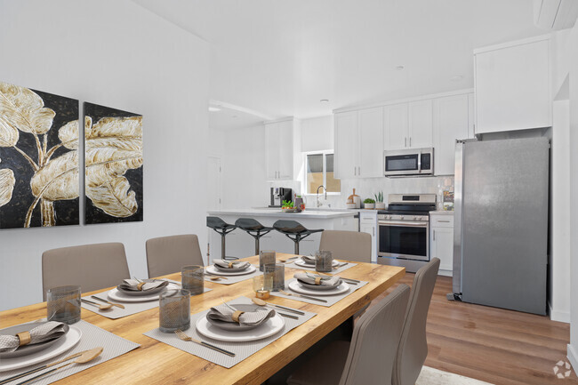
This bright and sunny end unit 2BR/2BA condo features an ample balcony with access from the living room and the second bedroom. Perfect for entertaining!! Overlooking rolling hills and open space, the unit offers an oasis of calm and tranquility just minutes from Downtown Los Angeles, yet worlds away from its hustle and bustle. This unit offers an outstanding floor plan and has been delightfully maintained with a warm and inviting color scheme. The living areas feature a formal entry, formal dining area, and a spacious kitchen with breakfast bar. Oversize windows flood the unit with light and air. Storage abounds. The master suite offers a full wall of wardrobe closets. Two parking spaces!! Resort-like amenities include pool, spa, sundeck, and recreation room. Minutes from Downtown L.A., Old Pasadena, Paseo Colorado, and the USC Health Sciences Camp
4589 Via Marisol is a condo located in Los Angeles County and the 90042 ZIP Code. This area is served by the Los Angeles Unified attendance zone.
Condo Features
- Heating
- Pool
- Patio
Location
Get Directions
A quiet suburb outside of Los Angeles, Monterey Hills is known for its rolling hills, winding residential streets, and elevated city views. Check out Elephant Hill, a popular place to bike or hike that offers beautiful views of the neighborhood. Herman Park is nestled along Highway 110 in the north end of the neighborhood, offering tennis courts, playgrounds, and a dog park. And for more outdoor recreation, visit the biking paths and hiking trails at Ernest E. Debs Regional Park, bordering Monterey Hills.
Monterey Hills is a more secluded part of Northeast Los Angeles with larger lots, single-family homes, and tree-lined streets. However, if you cross over Highway 110, you’ll find theatres, restaurants, services, and more. Monterey Hills is located just seven miles northeast of Downtown Los Angeles and eight miles east of major attractions such as Griffith Park, the Los Angeles Zoo, the Greek Theatre, and Glendale Galleria.
Learn more about living in Monterey HillsBelow are rent ranges for similar nearby apartments
| Beds | Average Size | Lowest | Typical | Premium |
|---|---|---|---|---|
| Studio Studio Studio | 440 Sq Ft | $1,500 | — | — |
| 1 Bed 1 Bed 1 Bed | 698-700 Sq Ft | $1,600 | $2,011 | $2,500 |
| 2 Beds 2 Beds 2 Beds | 1028-1037 Sq Ft | $1,493 | $2,927 | $3,695 |
| 3 Beds 3 Beds 3 Beds | 1385 Sq Ft | $3,200 | $5,405 | $12,995 |
| 4 Beds 4 Beds 4 Beds | 1309 Sq Ft | $1,175 | $3,442 | $8,000 |
Amenities
- Heating
- Patio
- Pool
Expenses
Utilities Included
Water
Included
Education
| Colleges & Universities | Distance | ||
|---|---|---|---|
| Colleges & Universities | Distance | ||
| Drive: | 9 min | 3.7 mi | |
| Drive: | 8 min | 3.9 mi | |
| Drive: | 7 min | 4.1 mi | |
| Drive: | 11 min | 4.2 mi |
4589 Via Marisol Unit 271 is within 9 minutes or 3.7 miles from Occidental College. It is also near Cal State Los Angeles and USC, Health Sciences Campus.
Schools


Charter Elementary School
Grades K-5
75 Students
Nearby
Public Elementary School
Grades K-5
181 Students
Attendance Zone
Public Middle & High School
Grades 6-12
1,389 Students
Attendance Zone
Public Middle School
Grades 6-8
904 Students
Attendance Zone
Private Elementary School
Grades PK-5
131 Students
Nearby
Private Elementary, Middle & High School
Grades K-12
93 Students
Nearby
Private Elementary & Middle School
Grades K-8
125 Students
Nearby
School data provided by
 The GreatSchools Rating helps parents compare schools within a state based on a variety of school quality indicators and provides a helpful picture of how effectively each school serves all of its students. Ratings are on a scale of 1 (below average) to 10 (above average) and can include test scores, college readiness, academic progress, advanced courses, equity, discipline and attendance data. We also advise parents to visit schools, consider other information on school performance and programs, and consider family needs as part of the school selection process.
View GreatSchools Rating Methodology
View GreatSchools Rating Methodology
Transportation options available in Los Angeles include Highland Park Station, located 1.5 miles from 4589 Via Marisol Unit 271. 4589 Via Marisol Unit 271 is near Bob Hope, located 18.0 miles or 26 minutes away, and Los Angeles International, located 21.0 miles or 34 minutes away.
| Transit / Subway | Distance | ||
|---|---|---|---|
| Transit / Subway | Distance | ||
|
|
Drive: | 4 min | 1.5 mi |
|
|
Drive: | 5 min | 2.5 mi |
|
|
Drive: | 6 min | 3.0 mi |
|
|
Drive: | 6 min | 3.1 mi |
|
|
Drive: | 7 min | 3.7 mi |
| Commuter Rail | Distance | ||
|---|---|---|---|
| Commuter Rail | Distance | ||
|
|
Drive: | 10 min | 5.1 mi |
|
|
Drive: | 11 min | 5.9 mi |
|
|
Drive: | 13 min | 7.3 mi |
| Drive: | 15 min | 10.0 mi | |
|
|
Drive: | 21 min | 10.2 mi |
| Airports | Distance | ||
|---|---|---|---|
| Airports | Distance | ||
|
Bob Hope
|
Drive: | 26 min | 18.0 mi |
|
Los Angeles International
|
Drive: | 34 min | 21.0 mi |
Time and distance from 4589 Via Marisol Unit 271.
| Shopping Centers | Distance | ||
|---|---|---|---|
| Shopping Centers | Distance | ||
| Drive: | 3 min | 1.3 mi | |
| Drive: | 4 min | 1.8 mi | |
| Drive: | 4 min | 2.0 mi |
4589 Via Marisol Unit 271 has 3 shopping centers within 2.0 miles, which is about a 4-minute drive. The miles and minutes will be for the farthest away property.
| Parks and Recreation | Distance | ||
|---|---|---|---|
| Parks and Recreation | Distance | ||
|
Audubon Center at Debs Park
|
Drive: | 4 min | 2.0 mi |
|
Chavez Ravine Arboretum
|
Drive: | 10 min | 5.7 mi |
|
Elysian Park
|
Drive: | 13 min | 5.7 mi |
|
Elyria Canyon Park
|
Drive: | 11 min | 6.0 mi |
|
Marsh Park
|
Drive: | 12 min | 6.3 mi |
4589 Via Marisol Unit 271 has 5 parks within 6.3 miles, including Audubon Center at Debs Park, Elyria Canyon Park, and Elysian Park.
| Hospitals | Distance | ||
|---|---|---|---|
| Hospitals | Distance | ||
| Drive: | 7 min | 3.6 mi | |
| Drive: | 9 min | 3.7 mi | |
| Drive: | 7 min | 4.5 mi |
4589 Via Marisol Unit 271 has 3 hospitals within 4.5 miles, the nearest is Keck Hospital of USC which is 3.6 miles away and a 7 minute drive.
| Military Bases | Distance | ||
|---|---|---|---|
| Military Bases | Distance | ||
| Drive: | 31 min | 22.6 mi | |
| Drive: | 42 min | 27.1 mi |
4589 Via Marisol Unit 271 is 22.6 miles from Los Angeles Air Force Base, and is convenient to other military bases, including Los Alamitos Army Airfield.
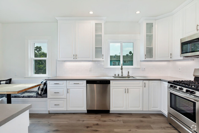
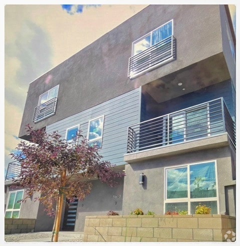
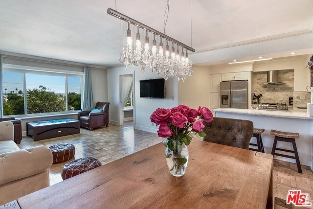
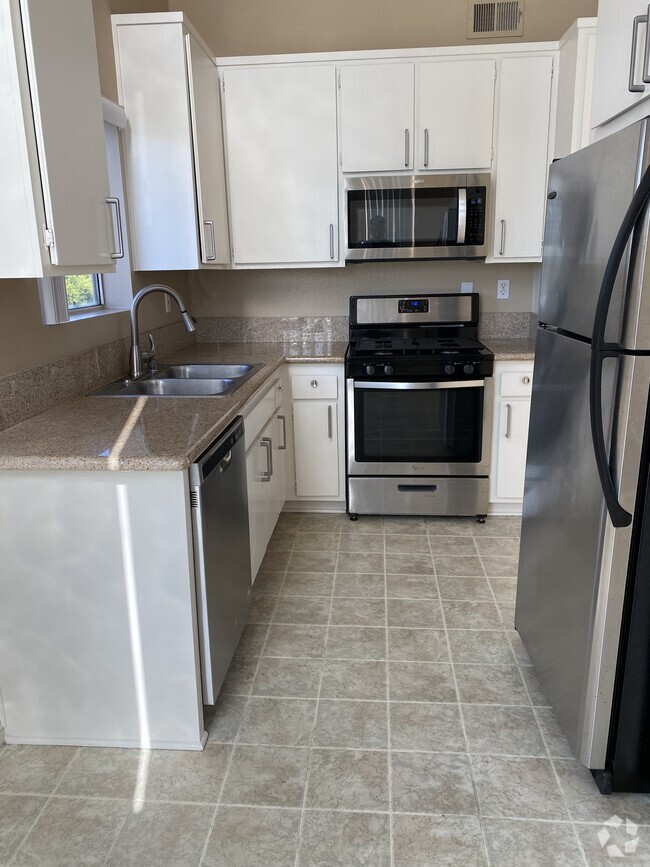
You May Also Like
Similar Rentals Nearby
What Are Walk Score®, Transit Score®, and Bike Score® Ratings?
Walk Score® measures the walkability of any address. Transit Score® measures access to public transit. Bike Score® measures the bikeability of any address.
What is a Sound Score Rating?
A Sound Score Rating aggregates noise caused by vehicle traffic, airplane traffic and local sources
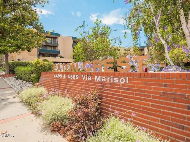
4589 Via Marisol
Los Angeles, CA 90042