$2,950 / Month
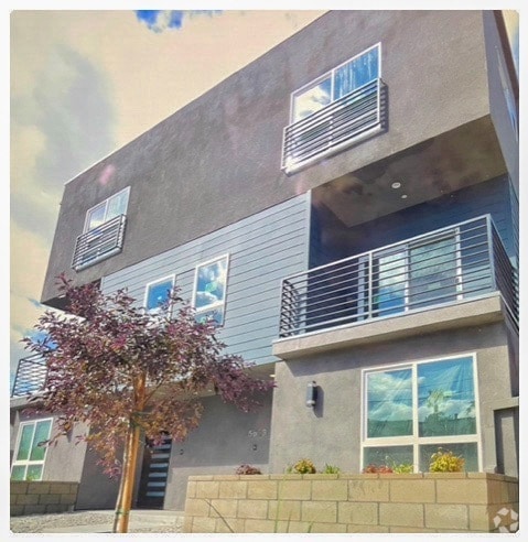
4589 Via Marisol Unit 153
Los Angeles, CA 90042
Today
Favorites
310-940-7527
-
Bedrooms
2
-
Bathrooms
2
-
Square Feet
1,042 sq ft
-
Available
Available May 23
Highlights
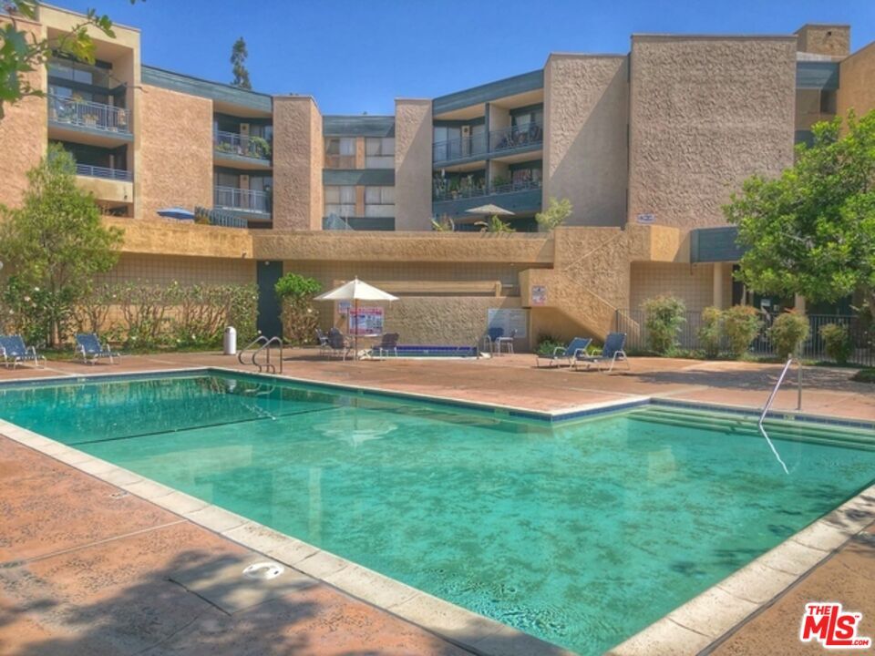
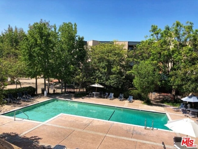
- Pool
- Gated
4589 Via Marisol Unit 153

Favorites
About This Home
$5,950 deposit,
Available May 23
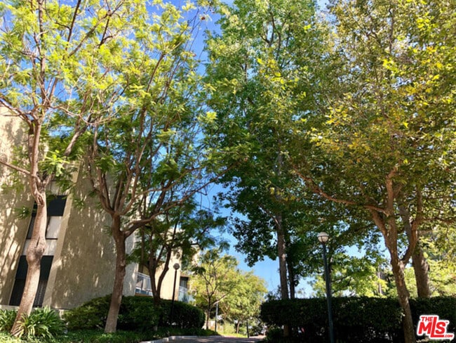
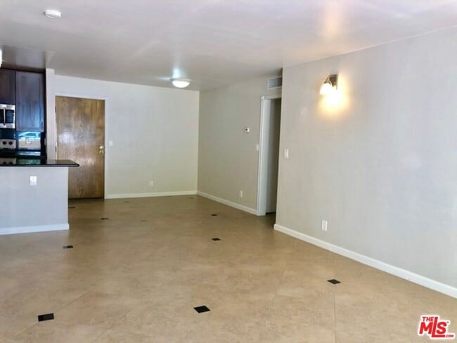
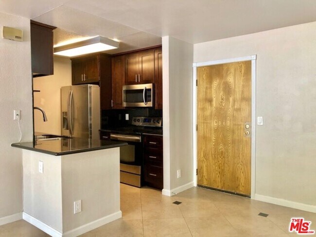
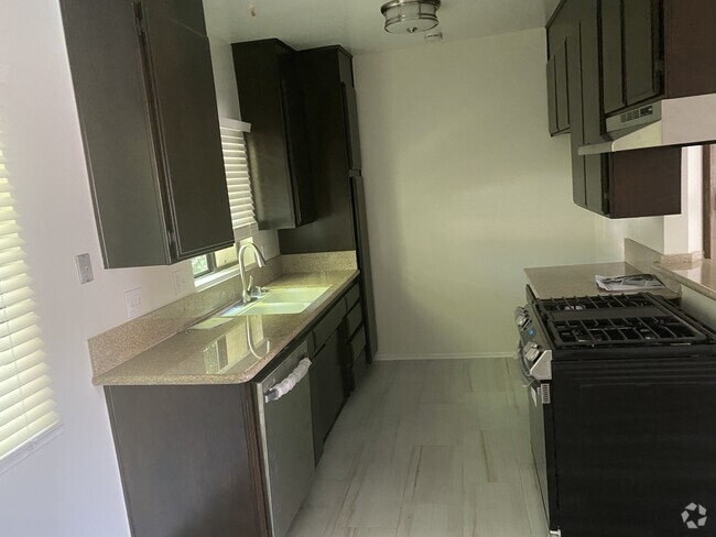
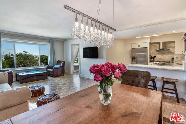
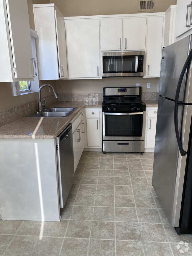
Nestled in the serene Eaton Crest community of Monterey Hills, this bright and airy 2-bedroom, 2-bath condo offers comfortable living in a peaceful setting. The open-concept layout features a stylishly updated kitchen that flows seamlessly into the combined living and dining areaideal for both relaxing and entertaining. Sliding glass doors lead to an expansive ground-floor patio, perfect for outdoor gatherings or cultivating your own garden oasis.Thoughtfully designed for privacy, the two bedrooms are situated on opposite sides of the living space. The primary suite includes an updated en-suite bathroom and a spacious walk-in closet, while the second bedroom offers dual closets, an adjacent updated bath, and patio access via sliding doors.Additional highlights include in-unit laundry, two tandem parking spaces, and access to community amenities such as a pool, spa, and generous sun deck. Surrounded by lush green spaces like Ernest Debs Park, Hermon Park, and Rose Hill Park, this home is also conveniently located near the USC Medical Center and USC Health Sciences Campus. Unit will be available on 7/1. MLS# 25541945
4589 Via Marisol is a condo located in Los Angeles County and the 90042 ZIP Code.
* Price shown is base rent and may not include non-optional fees and utilities.
Price, availability, fees, and any applicable rent special are subject to change without notice.
* Square footage definitions vary. Displayed square footage is approximate.
Condo Features
Washer/Dryer
Dishwasher
Refrigerator
Tile Floors
- Washer/Dryer
- Dishwasher
- Refrigerator
- Tile Floors
- Pool
- Gated
Fees and Policies
The fees below are based on community-supplied data and may exclude additional fees and utilities.
- Parking
-
Other--
Contact
- Listed by Cyndy Nguyen | Coldwell Banker Realty
- Phone Number
- Contact
-
Source
 MLS(TM)/CLAW
Copyright 2025 TheMLS/CLAW. All rights reserved. Information is deemed reliable but not guaranteed.
Location
Get Directions
Amenities
- Washer/Dryer
- Dishwasher
- Refrigerator
- Tile Floors
- Gated
- Pool
A quiet suburb outside of Los Angeles, Monterey Hills is known for its rolling hills, winding residential streets, and elevated city views. Check out Elephant Hill, a popular place to bike or hike that offers beautiful views of the neighborhood. Herman Park is nestled along Highway 110 in the north end of the neighborhood, offering tennis courts, playgrounds, and a dog park. And for more outdoor recreation, visit the biking paths and hiking trails at Ernest E. Debs Regional Park, bordering Monterey Hills.
Monterey Hills is a more secluded part of Northeast Los Angeles with larger lots, single-family homes, and tree-lined streets. However, if you cross over Highway 110, you’ll find theatres, restaurants, services, and more. Monterey Hills is located just seven miles northeast of Downtown Los Angeles and eight miles east of major attractions such as Griffith Park, the Los Angeles Zoo, the Greek Theatre, and Glendale Galleria.
Learn more about living in Monterey Hills
Education
| Colleges & Universities | Distance | ||
|---|---|---|---|
| Colleges & Universities | Distance | ||
| Drive: | 9 min | 3.7 mi | |
| Drive: | 8 min | 3.9 mi | |
| Drive: | 7 min | 4.1 mi | |
| Drive: | 11 min | 4.2 mi |
4589 Via Marisol Unit 153 is within 9 minutes or 3.7 miles from Occidental College. It is also near Cal State Los Angeles and USC, Health Sciences Campus.
Transportation options available in Los Angeles include Highland Park Station, located 1.5 miles from 4589 Via Marisol Unit 153. 4589 Via Marisol Unit 153 is near Bob Hope, located 18.0 miles or 26 minutes away, and Los Angeles International, located 21.0 miles or 33 minutes away.
| Transit / Subway | Distance | ||
|---|---|---|---|
| Transit / Subway | Distance | ||
|
|
Drive: | 4 min | 1.5 mi |
|
|
Drive: | 5 min | 2.4 mi |
|
|
Drive: | 6 min | 3.0 mi |
|
|
Drive: | 6 min | 3.1 mi |
|
|
Drive: | 7 min | 3.7 mi |
| Commuter Rail | Distance | ||
|---|---|---|---|
| Commuter Rail | Distance | ||
|
|
Drive: | 10 min | 5.1 mi |
|
|
Drive: | 11 min | 5.9 mi |
|
|
Drive: | 13 min | 7.3 mi |
| Drive: | 15 min | 10.0 mi | |
|
|
Drive: | 21 min | 10.2 mi |
| Airports | Distance | ||
|---|---|---|---|
| Airports | Distance | ||
|
Bob Hope
|
Drive: | 26 min | 18.0 mi |
|
Los Angeles International
|
Drive: | 33 min | 21.0 mi |
Time and distance from 4589 Via Marisol Unit 153.
| Shopping Centers | Distance | ||
|---|---|---|---|
| Shopping Centers | Distance | ||
| Drive: | 3 min | 1.3 mi | |
| Drive: | 4 min | 1.8 mi | |
| Drive: | 4 min | 2.0 mi |
4589 Via Marisol Unit 153 has 3 shopping centers within 2.0 miles, which is about a 4-minute drive. The miles and minutes will be for the farthest away property.
| Parks and Recreation | Distance | ||
|---|---|---|---|
| Parks and Recreation | Distance | ||
|
Audubon Center at Debs Park
|
Drive: | 4 min | 2.0 mi |
|
Chavez Ravine Arboretum
|
Drive: | 10 min | 5.7 mi |
|
Elysian Park
|
Drive: | 13 min | 5.7 mi |
|
Elyria Canyon Park
|
Drive: | 11 min | 6.0 mi |
|
Marsh Park
|
Drive: | 12 min | 6.3 mi |
4589 Via Marisol Unit 153 has 5 parks within 6.3 miles, including Audubon Center at Debs Park, Elyria Canyon Park, and Elysian Park.
| Hospitals | Distance | ||
|---|---|---|---|
| Hospitals | Distance | ||
| Drive: | 7 min | 3.6 mi | |
| Drive: | 9 min | 3.7 mi | |
| Drive: | 7 min | 4.5 mi |
4589 Via Marisol Unit 153 has 3 hospitals within 4.5 miles, the nearest is Keck Hospital of USC which is 3.6 miles away and a 7 minute drive.
| Military Bases | Distance | ||
|---|---|---|---|
| Military Bases | Distance | ||
| Drive: | 31 min | 22.6 mi | |
| Drive: | 42 min | 27.1 mi |
4589 Via Marisol Unit 153 is 22.6 miles from Los Angeles Air Force Base, and is convenient to other military bases, including Los Alamitos Army Airfield.
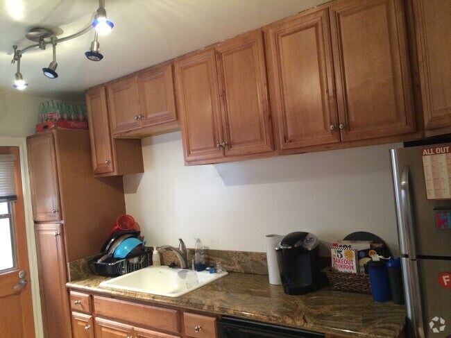
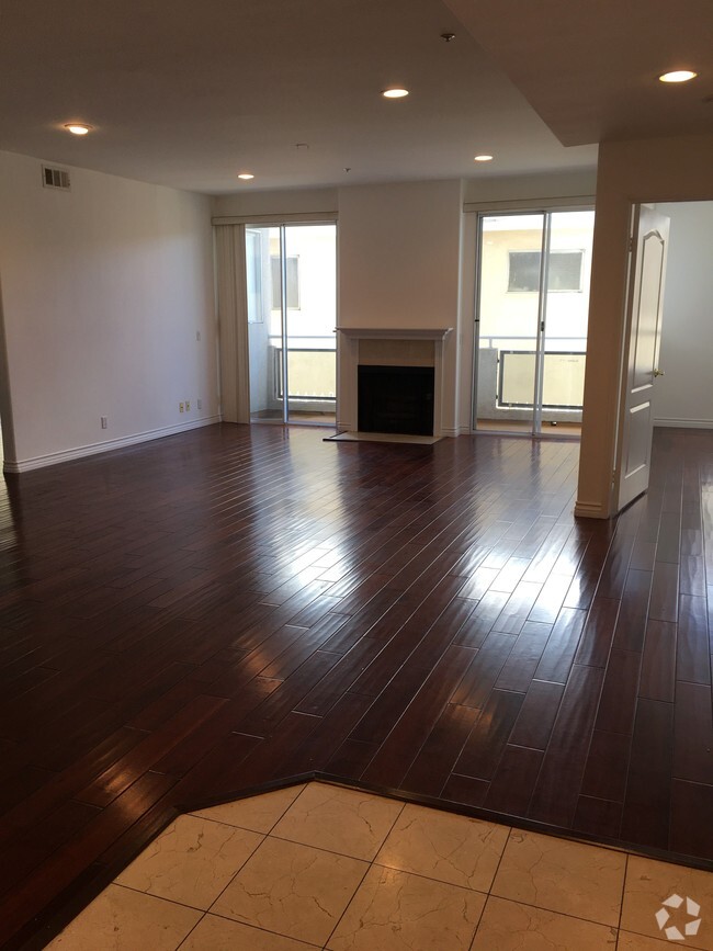
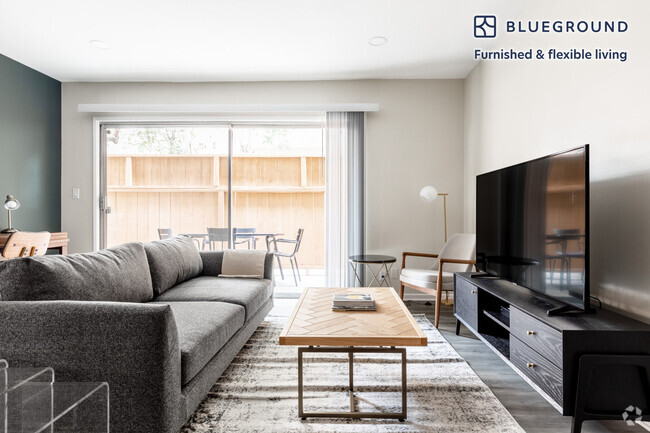
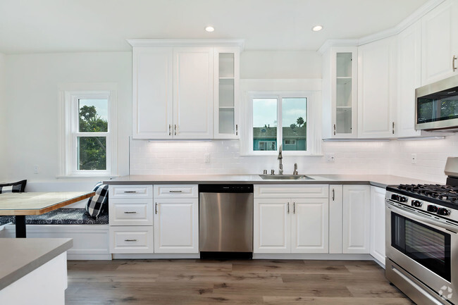
You May Also Like
Similar Rentals Nearby
What Are Walk Score®, Transit Score®, and Bike Score® Ratings?
Walk Score® measures the walkability of any address. Transit Score® measures access to public transit. Bike Score® measures the bikeability of any address.
What is a Sound Score Rating?
A Sound Score Rating aggregates noise caused by vehicle traffic, airplane traffic and local sources

4589 Via Marisol
Los Angeles, CA 90042