-
4505 W Deyoung St
4505 W Deyoung St Unit 100
4505 W Deyoung St Unit 100
Marion, IL 62959
Favorites
4505 W Deyoung St Unit 100

Favorites
Check Back Soon for Upcoming Availability
| Beds | Baths | Average SF |
|---|---|---|
| Studio Studio 0 Br | 4 Baths 4 Baths 4 Ba | 10,000 SF |
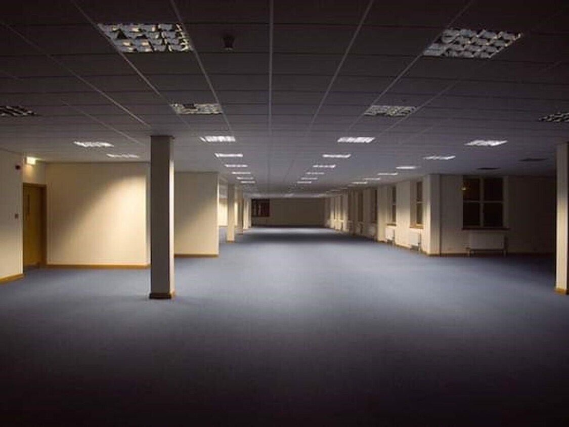
About This Property
Discover this terrific property in Marion, IL. This rental is located at 4505 W Deyoung St in Marion. Get a jump start on finding your new space. Contact us to talk about this home.
4505 W Deyoung St is an apartment community located in Williamson County and the 62959 ZIP Code.
4505 W Deyoung St,
Marion,
IL
62959
The city of Marion is a cozy community along Interstate 57 in Southern Illinois. Marion is a major commercial hub for the region, with the Illinois Star Centre mall serving as one of the city’s most popular attractions. Downtown features a vibrant collective of cafes, neighborhood bars, and specialty shops surrounding the Old Town Square, with the iconic Marion Clock Tower serving as the centerpiece.
Southern Illinois Miners baseball games at Rent One Park attract droves of fans in the summertime, and the Marion Cultural and Civic Center brings concerts and theater productions to town throughout the year. Shawnee National Forest is only a few minutes to the southeast, providing an excellent venue for spending quality time outdoors.
Learn more about living in Marion
Education
| Colleges & Universities | Distance | ||
|---|---|---|---|
| Colleges & Universities | Distance | ||
| Drive: | 12 min | 6.9 mi | |
| Drive: | 24 min | 14.8 mi | |
| Drive: | 42 min | 33.8 mi |
4505 W Deyoung St Unit 100 is within 12 minutes or 6.9 miles from John A. Logan College. It is also near Southern Ill. Univ. Carbondale and Rend Lake College.
Walkability Near 4505 W Deyoung St Marion, IL 62959
Getting Around
 What do Walkability, Transit, Drivability, and Bikeability mean?
Walkability measures the walking distance to day-to-day needs.
Transit measures access to public transportation.
Drivability measures congestion, parking availability, and access to major roads.
Bikeability measures the suitability for cycling.
How It Works
What do Walkability, Transit, Drivability, and Bikeability mean?
Walkability measures the walking distance to day-to-day needs.
Transit measures access to public transportation.
Drivability measures congestion, parking availability, and access to major roads.
Bikeability measures the suitability for cycling.
How It Works
Somewhat Walkable
Walkability
30
/ 100
Exceptionally Drivable
Drivability
100
/ 100
Somewhat Bikeable
Bikeability
20
/ 100
Scores provided by
-
Soundscore™
-
/ 100
Traffic
-Airport
-Businesses
-Scores provided by
HowLoud What is a Sound Score Rating? A Sound Score Rating aggregates noise caused by vehicle traffic, airplane traffic and local sources. How It WorksYou May Also Like
Similar Rentals Nearby


What Are Walk Score®, Transit Score®, and Bike Score® Ratings?
Walk Score® measures the walkability of any address. Transit Score® measures access to public transit. Bike Score® measures the bikeability of any address.
What is a Sound Score Rating?
A Sound Score Rating aggregates noise caused by vehicle traffic, airplane traffic and local sources.

4505 W Deyoung St
Marion, IL 62959