


$800
Total Monthly Price
Total Monthly Price
New
Prices include all required monthly fees.
1 Month Lease
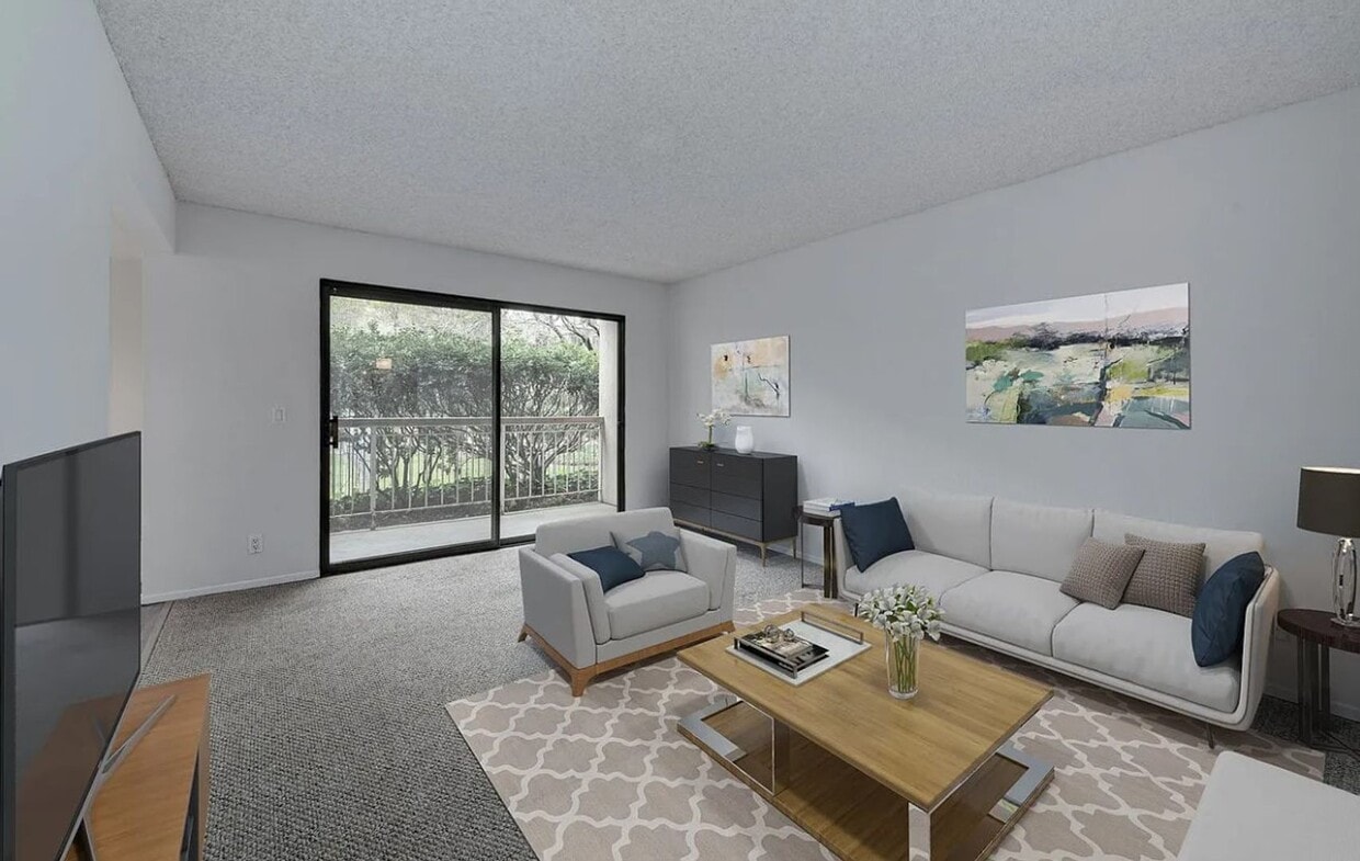
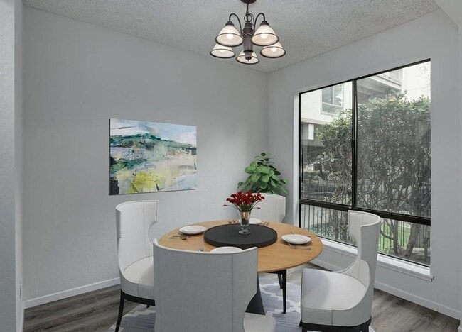
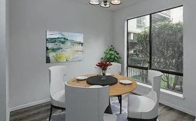
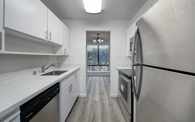
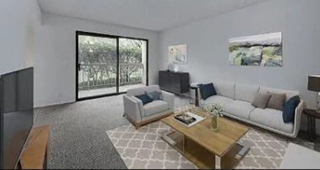
House for Rent
1 Bed, 1 Bath, 200 sq ft