
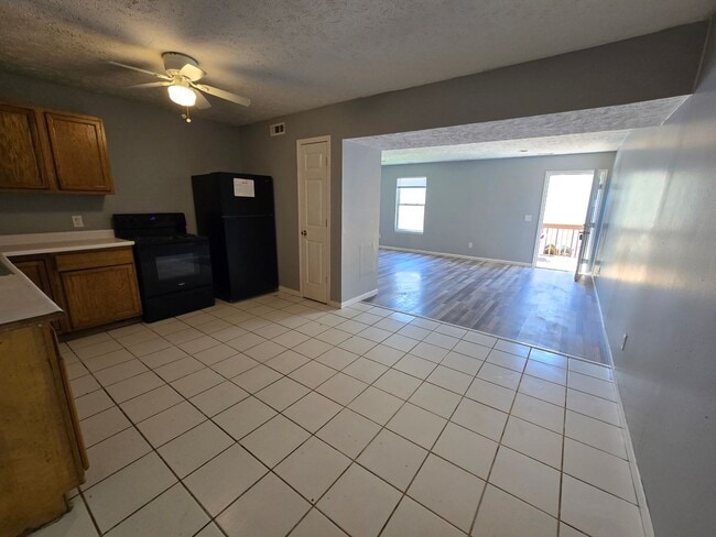
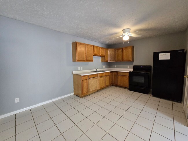
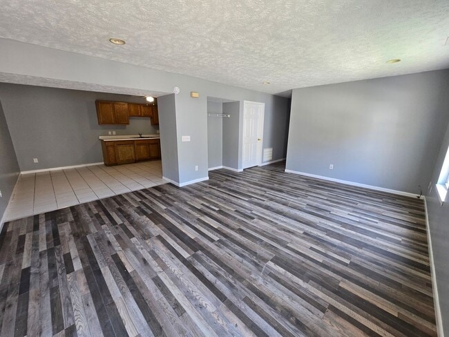
$1,800 / Month
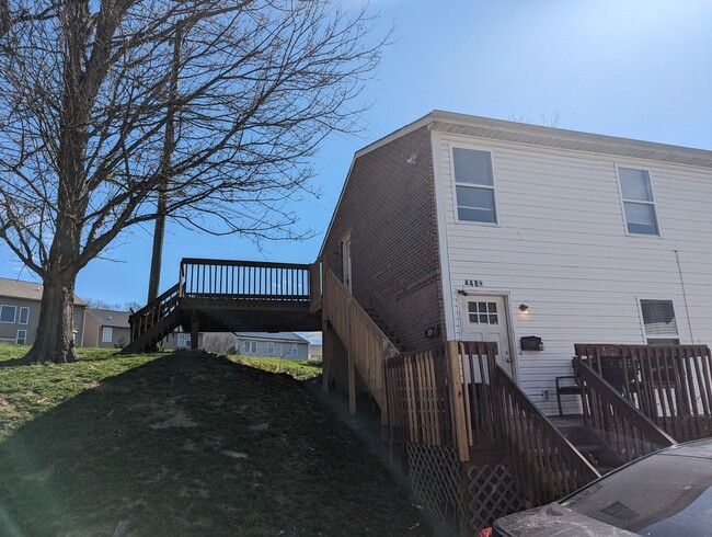
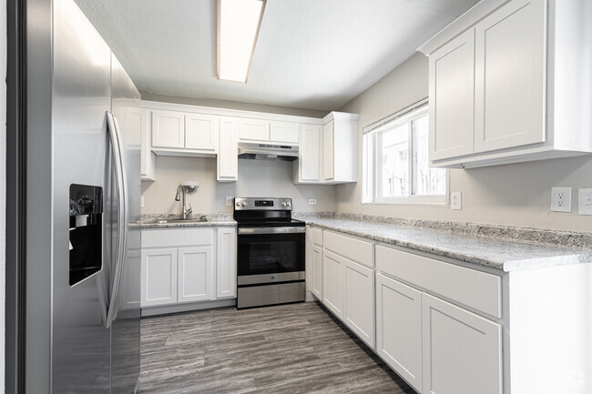
4489 Ammon Ave Unit 4489-A
Cincinnati, OH 45223
Today
Favorites
513-823-2123
-
Bedrooms
3
-
Bathrooms
2
-
Square Feet
1,300 sq ft
-
Available
Available Now
4489 Ammon Ave Unit 4489-A

Favorites
Contact
- Listed by RAW Property Management | RAW Property Management
- Phone Number
- Contact
Location
Get Directions
Mount Airy is a classic suburban neighborhood with peaceful streets lined with single-family homes. Interstate 74 and Highway 22 makes the seven mile drive into Downtown Cincinnati and beyond accessible, but Mount Airy has a lot to offer from within. Its southern border encompasses Mount Airy Forest, which provides residents with outdoor fun. There are also a few fast food restaurants within the neighborhood, but residents can easily travel to the surrounding areas or into downtown for a diverse selection of restaurants. Renters will find that they have a few affordable options of apartments in longstanding brick buildings to choose from.
Learn more about living in Mount Airy
Education
| Colleges & Universities | Distance | ||
|---|---|---|---|
| Colleges & Universities | Distance | ||
| Drive: | 7 min | 2.3 mi | |
| Drive: | 8 min | 4.0 mi | |
| Drive: | 10 min | 4.4 mi | |
| Drive: | 13 min | 6.0 mi |
4489 Ammon Ave Unit 4489-A is within 7 minutes or 2.3 miles from Cincinnati State. It is also near University of Cincinnati and Univ. of Cincinnati, Medical.
Transportation options available in Cincinnati include Brewery District Station, Elm & Henry, located 4.7 miles from 4489 Ammon Ave Unit 4489-A. 4489 Ammon Ave Unit 4489-A is near Cincinnati/Northern Kentucky International, located 18.7 miles or 33 minutes away.
| Transit / Subway | Distance | ||
|---|---|---|---|
| Transit / Subway | Distance | ||
| Drive: | 9 min | 4.7 mi | |
| Drive: | 9 min | 4.8 mi | |
| Drive: | 9 min | 4.9 mi | |
| Drive: | 9 min | 4.9 mi | |
| Drive: | 10 min | 5.0 mi |
| Commuter Rail | Distance | ||
|---|---|---|---|
| Commuter Rail | Distance | ||
|
|
Drive: | 8 min | 4.6 mi |
| Airports | Distance | ||
|---|---|---|---|
| Airports | Distance | ||
|
Cincinnati/Northern Kentucky International
|
Drive: | 33 min | 18.7 mi |
Time and distance from 4489 Ammon Ave Unit 4489-A.
| Shopping Centers | Distance | ||
|---|---|---|---|
| Shopping Centers | Distance | ||
| Drive: | 5 min | 2.5 mi | |
| Drive: | 7 min | 2.8 mi | |
| Drive: | 8 min | 4.2 mi |
4489 Ammon Ave Unit 4489-A has 3 shopping centers within 4.2 miles, which is about a 8-minute drive. The miles and minutes will be for the farthest away property.
| Parks and Recreation | Distance | ||
|---|---|---|---|
| Parks and Recreation | Distance | ||
|
Buttercup Valley
|
Drive: | 3 min | 1.2 mi |
|
Mt. Airy Forest
|
Drive: | 5 min | 2.3 mi |
|
LaBoiteaux Woods
|
Drive: | 6 min | 2.5 mi |
|
Burnet Woods
|
Drive: | 8 min | 3.1 mi |
|
Trailside Nature Center
|
Drive: | 8 min | 3.9 mi |
4489 Ammon Ave Unit 4489-A has 5 parks within 3.9 miles, including Buttercup Valley, Mt. Airy Forest, and LaBoiteaux Woods.
| Hospitals | Distance | ||
|---|---|---|---|
| Hospitals | Distance | ||
| Drive: | 7 min | 3.2 mi | |
| Drive: | 10 min | 4.1 mi | |
| Drive: | 10 min | 4.5 mi |
4489 Ammon Ave Unit 4489-A has 3 hospitals within 4.5 miles, the nearest is Good Samaritan Hospital which is 3.2 miles away and a 7 minute drive.
| Military Bases | Distance | ||
|---|---|---|---|
| Military Bases | Distance | ||
| Drive: | 68 min | 52.4 mi | |
| Drive: | 74 min | 57.4 mi | |
| Drive: | 76 min | 60.7 mi |
4489 Ammon Ave Unit 4489-A has 3 military bases within 60.7 miles, the nearest is Gentile Air Force Station which is 52.4 miles away and a 68 minute drive.
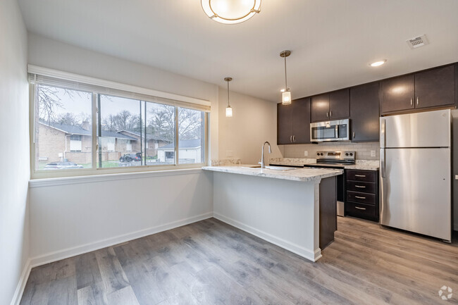
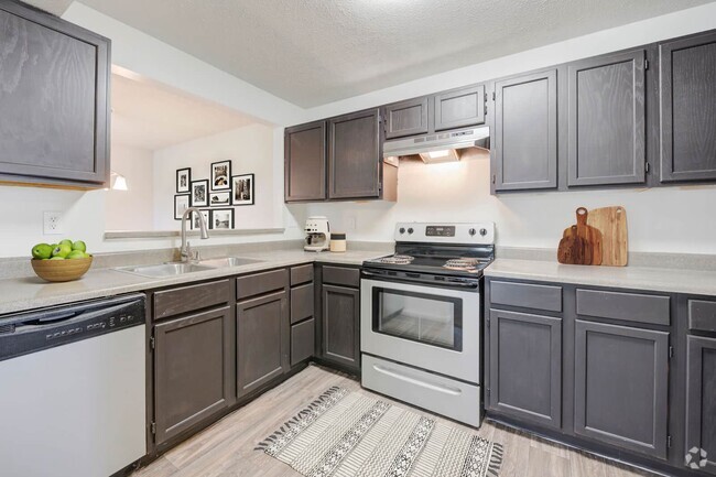
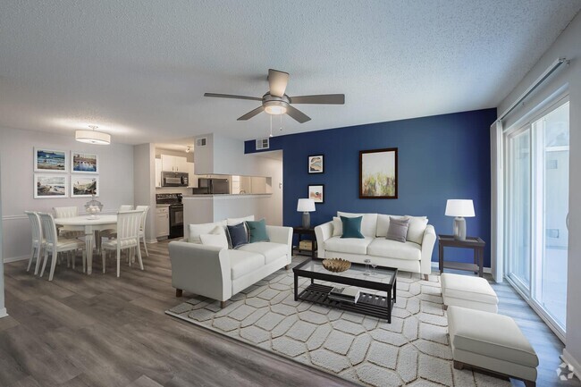
You May Also Like
Similar Rentals Nearby
-
-
-
1 / 15
-
-
-
-
-
-
-

What Are Walk Score®, Transit Score®, and Bike Score® Ratings?
Walk Score® measures the walkability of any address. Transit Score® measures access to public transit. Bike Score® measures the bikeability of any address.
What is a Sound Score Rating?
A Sound Score Rating aggregates noise caused by vehicle traffic, airplane traffic and local sources
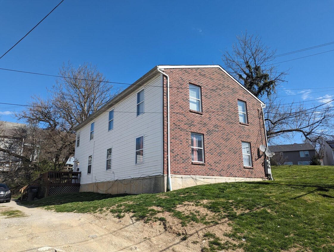
4489 Ammon Ave
Cincinnati, OH 45223