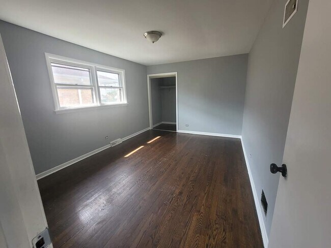
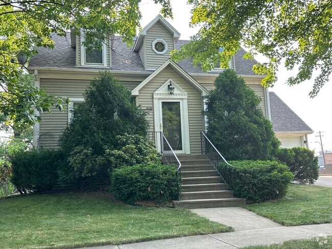
$1,900 / Month
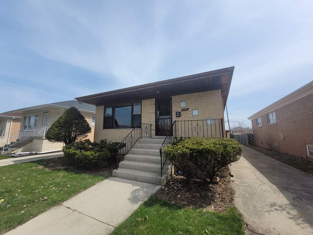
443 S Manistee Ave
Calumet City, IL 60409
2 Weeks Ago
Favorites
443 S Manistee Ave

Favorites
Check Back Soon for Upcoming Availability
| Beds | Baths | Average SF |
|---|---|---|
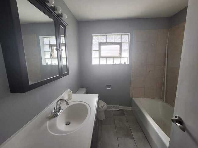
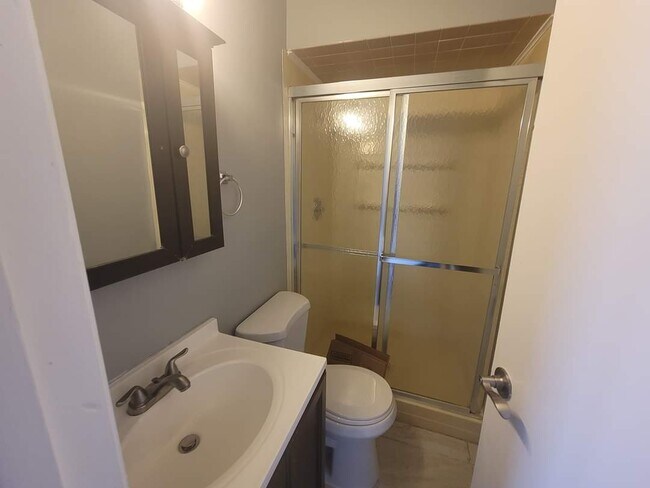
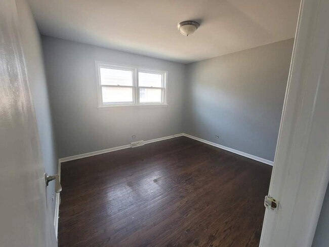
| 3 Bedrooms 3 Bedrooms 3 Br | 2 Baths 2 Baths 2 Ba | 1,316 SF |
Location
Get Directions
The residents of Calumet City, a charming suburban city south of Chicago, enjoy a top-notch environment among the many suburbs in the area. Their efforts to redefine the area are shown in the city's breathtaking parks and casual, family-oriented entertainment. Calumet City's location roughly 23 miles south of Chicago grants residents the benefits of urbanization, but the area proudly offers suburban amenities, including its many neatly landscaped residential streets and living expenses lower than those in Chicago. Great schools and access to Interstate 90, 94, and 294 makes this a great choice for families and the commuting crowd alike.
Learn more about living in Calumet City
Education
| Colleges & Universities | Distance | ||
|---|---|---|---|
| Colleges & Universities | Distance | ||
| Drive: | 9 min | 4.7 mi | |
| Drive: | 14 min | 6.2 mi | |
| Drive: | 17 min | 9.2 mi | |
| Drive: | 20 min | 11.4 mi |
443 S Manistee Ave is within 9 minutes or 4.7 miles from South Suburban College. It is also near Purdue University Calumet and Chicago State University.
Schools


Public Elementary School
Grades PK-2
366 Students
Attendance Zone
Public Elementary School
Grades 3-5
278 Students
Attendance Zone
Public Middle School
Grades 6-8
311 Students
Attendance Zone
Public High School
Grades 9-12
1,383 Students
Attendance Zone
Private Elementary & Middle School
Grades PK-8
28 Students
Nearby
Private Elementary School
Grades PK-5
Nearby
Private Middle & High School
Grades 6-12
Nearby
School data provided by
 The GreatSchools Rating helps parents compare schools within a state based on a variety of school quality indicators and provides a helpful picture of how effectively each school serves all of its students. Ratings are on a scale of 1 (below average) to 10 (above average) and can include test scores, college readiness, academic progress, advanced courses, equity, discipline and attendance data. We also advise parents to visit schools, consider other information on school performance and programs, and consider family needs as part of the school selection process.
View GreatSchools Rating Methodology
View GreatSchools Rating Methodology
Transportation options available in Calumet City include 95Th, located 9.9 miles from 443 S Manistee Ave. 443 S Manistee Ave is near Chicago Midway International, located 21.3 miles or 34 minutes away, and Chicago O'Hare International, located 38.3 miles or 56 minutes away.
| Transit / Subway | Distance | ||
|---|---|---|---|
| Transit / Subway | Distance | ||
| Drive: | 14 min | 9.9 mi | |
| Drive: | 15 min | 10.8 mi | |
|
|
Drive: | 17 min | 11.8 mi |
| Commuter Rail | Distance | ||
|---|---|---|---|
| Commuter Rail | Distance | ||
|
|
Drive: | 5 min | 2.6 mi |
|
|
Drive: | 6 min | 2.9 mi |
| Drive: | 9 min | 4.5 mi | |
| Drive: | 9 min | 4.6 mi | |
|
|
Drive: | 12 min | 7.4 mi |
| Airports | Distance | ||
|---|---|---|---|
| Airports | Distance | ||
|
Chicago Midway International
|
Drive: | 34 min | 21.3 mi |
|
Chicago O'Hare International
|
Drive: | 56 min | 38.3 mi |
Time and distance from 443 S Manistee Ave.
| Shopping Centers | Distance | ||
|---|---|---|---|
| Shopping Centers | Distance | ||
| Walk: | 4 min | 0.2 mi | |
| Walk: | 8 min | 0.4 mi | |
| Walk: | 12 min | 0.6 mi |
443 S Manistee Ave has 3 shopping centers within 0.6 mile, which is about a 12-minute walk. The miles and minutes will be for the farthest away property.
| Parks and Recreation | Distance | ||
|---|---|---|---|
| Parks and Recreation | Distance | ||
|
Camp Shabbona Woods
|
Drive: | 3 min | 1.6 mi |
|
Sand Ridge Nature Center
|
Drive: | 5 min | 2.0 mi |
|
Clayhole Woods
|
Drive: | 4 min | 2.2 mi |
|
Green Lake Woods
|
Drive: | 5 min | 2.2 mi |
|
Powderhorn Lake
|
Drive: | 7 min | 3.1 mi |
443 S Manistee Ave has 5 parks within 3.1 miles, including Camp Shabbona Woods, Clayhole Woods, and Green Lake Woods.
| Hospitals | Distance | ||
|---|---|---|---|
| Hospitals | Distance | ||
| Drive: | 4 min | 2.2 mi | |
| Drive: | 13 min | 6.4 mi | |
| Drive: | 13 min | 6.8 mi |
443 S Manistee Ave has 3 hospitals within 6.8 miles, the nearest is Franciscan St. Margaret Health Hammond which is 2.2 miles away and a 4 minute drive.
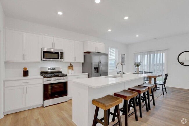
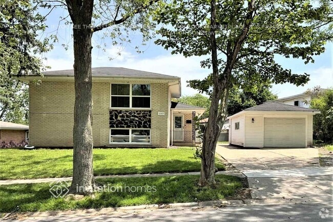
You May Also Like
Similar Rentals Nearby

What Are Walk Score®, Transit Score®, and Bike Score® Ratings?
Walk Score® measures the walkability of any address. Transit Score® measures access to public transit. Bike Score® measures the bikeability of any address.
What is a Sound Score Rating?
A Sound Score Rating aggregates noise caused by vehicle traffic, airplane traffic and local sources

443 S Manistee Ave
Calumet City, IL 60409