


$1,695 / Month

4332 Rob Roy Ln

,

Conley, GA 30288

Share Listing
Favorites
404-310-3917
  • Bedrooms

    3

  • Bathrooms

    1

  • Square Feet

    1,025 sq ft

  • Available

    Available Now

4332 Rob Roy Ln
Share Listing
Favorites

About This Home

Available Now

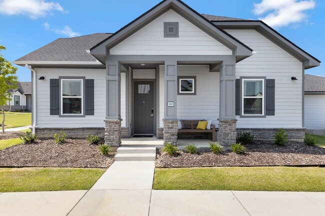
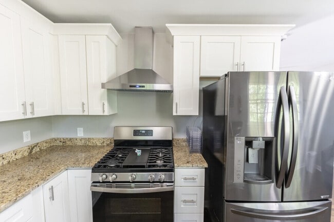
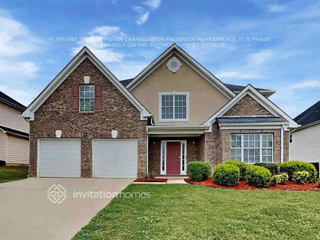
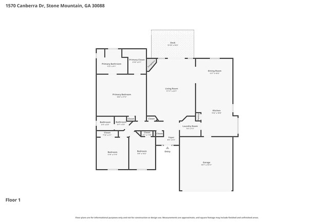
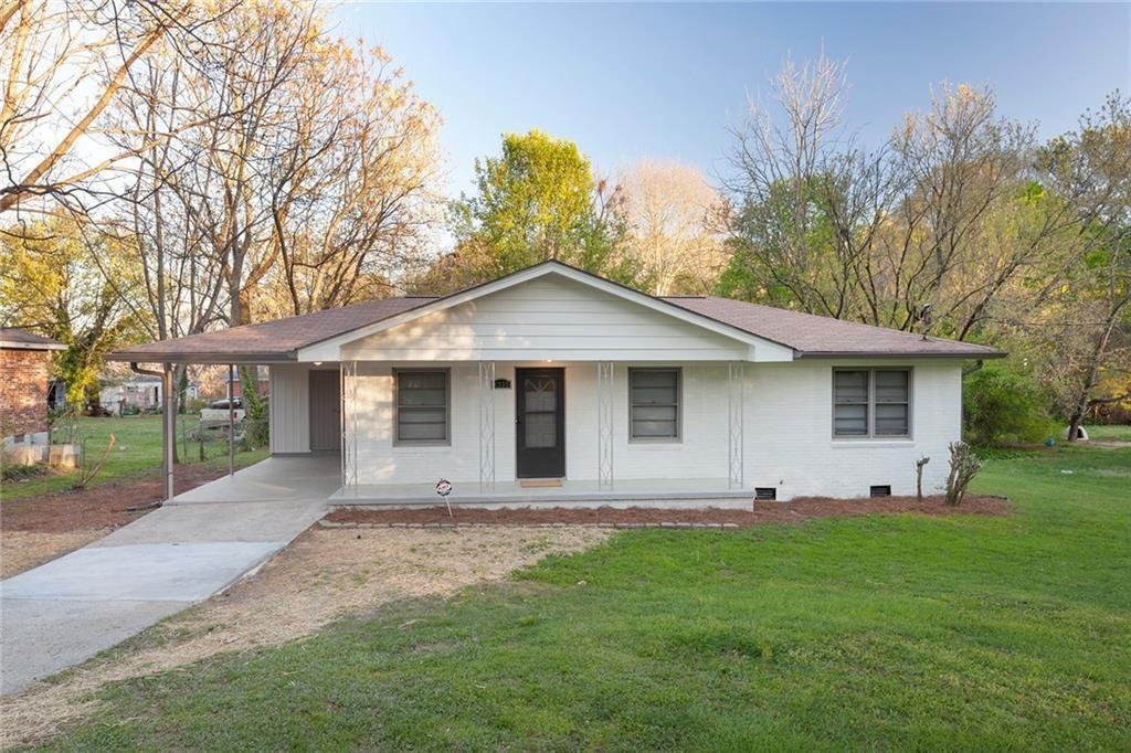
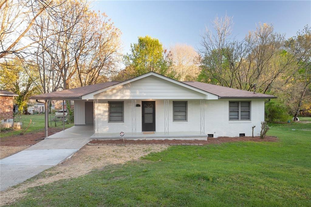
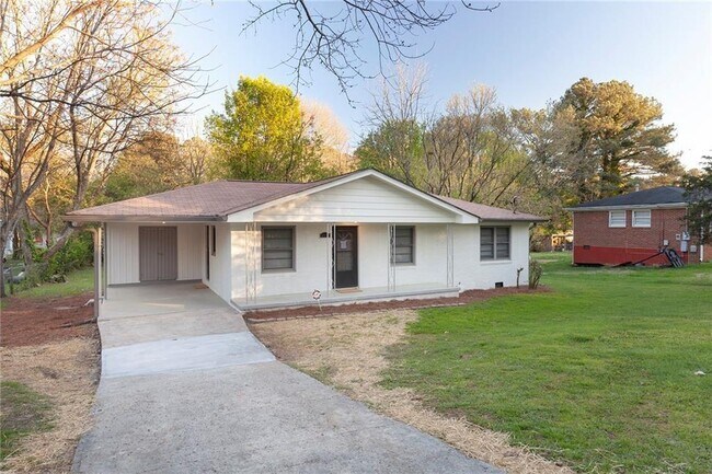
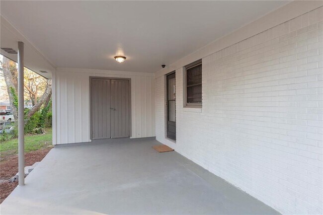
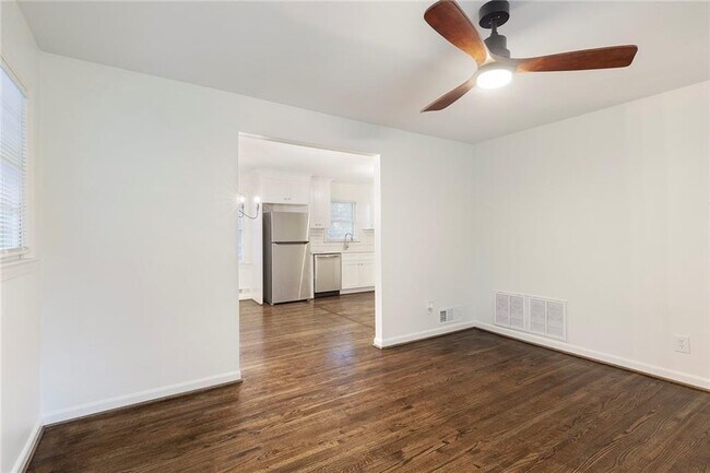
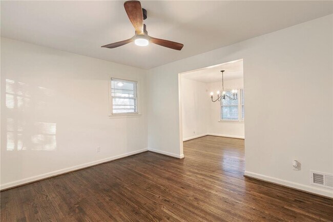
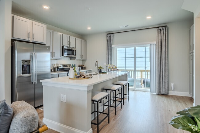
Renovated ranch on quiet street in Conley! This charmer features hardwoods throughout,spacious kitchen with white shaker kitchen cabinets,quartz countertops,and new stainless steel appliances. The bathroom features sleek tile and new brushed nickel fixtures. The home features spacious bedrooms with modern lighting and black hardware accents. The house is centrally located near downtown Atlanta and Hartsfield Atlanta international Airport. MLS ID 7809023

4332 Rob Roy Ln is a house located in Clayton County and the 30288 ZIP Code. This area is served by the Clayton County School District attendance zone.

* Price shown is base rent. Excludes user-selected optional fees and variable or usage-based fees and required charges due at or prior to move-in or at move-out. Price, availability, fees, and any applicable rent special are subject to change without notice.
* Square footage definitions vary. Displayed square footage is approximate.

House Features

Dishwasher

Microwave

Refrigerator

Oven

  • Dishwasher
  • Microwave
  • Oven
  • Range
  • Refrigerator

Contact

  • Listed by MYA KING | SELLECT REALTY LLC
  • Phone Number
  • Contact
  • Source
    First Multiple Listing Service, Inc.
Copyright © 2026 First Multiple Listing Service, Inc. All rights reserved. All information provided by the listing agent/broker is deemed reliable but is not guaranteed and should be independently verified.
| Edit

Under 30 minutes

Commute Time is calculated at rush hour.
City - Conley

Sitting at Atlanta's southeast edge, Conley, Georgia carries the quiet confidence of a community that knows exactly where it stands. Originally known as Moccasin Gap and officially renamed in 1867, this census-designated place in Clayton County spans just two square miles, yet it connects residents to one of the Southeast's largest metros in under 15 minutes.

Conley's identity is shaped by its industrial roots and its position along the I-285 and I-675 corridor, making it a practical base for those who work across the Atlanta region. Clayton State University sits less than five miles away, and Hartsfield-Jackson Atlanta International Airport is a short drive south, giving the area real economic weight. Nearby Forest Park and the broader Clayton County communities offer additional retail, dining, and recreation options without requiring a long commute.

Learn more about living in Conley 
Amenities
  • Dishwasher
  • Microwave
  • Oven
  • Range
  • Refrigerator
Education
Colleges & Universities Distance
Drive: 11 min 4.7 mi
Drive: 19 min 9.2 mi
Drive: 17 min 9.3 mi
Drive: 23 min 10.0 mi
4332 Rob Roy Ln is within 11 minutes or 4.7 miles from Clayton State University. It is also near Georgia Perim. Coll., Decatur and Atlanta Metropolitan State.
Schools
Public Elementary School
Grades PK-5
414 Students
Attendance Zone
Public Middle School
Grades 6-8
583 Students
Attendance Zone
Public High School
Grades 9-12
1,645 Students
Attendance Zone
Private Elementary, Middle & High School
Grades K-12
139 Students
Nearby
Private Elementary School
Grades PK-5
30 Students
Nearby
Transportation

Transportation options available in Conley include East Point, located 8.4 miles from 4332 Rob Roy Ln. 4332 Rob Roy Ln is near Hartsfield - Jackson Atlanta International, located 5.9 miles or 16 minutes away.

Transit / Subway Distance
Drive: 21 min 8.4 mi
Drive: 20 min 8.7 mi
Drive: 20 min 10.1 mi
Drive: 20 min 10.6 mi
Drive: 21 min 11.5 mi
Commuter Rail Distance
Drive: 26 min 13.8 mi
Airports Distance
Airports Distance
Hartsfield - Jackson Atlanta International
Drive: 16 min 5.9 mi
Getting Around
Fairly Walkable
Walkability
40 / 100
Minimal Public Transit
Transit
0 / 100
Exceptionally Drivable
Drivability
90 / 100
Fairly Bikeable
Bikeability
50 / 100

Scores provided by

What do Walkability, Transit, Drivability, and Bikeability mean? Walkability measures the walking distance to day-to-day needs. Transit measures access to public transportation. Drivability measures congestion, parking availability, and access to major roads. Bikeability measures the suitability for cycling. How It Works
-
Soundscore
- / 100

Traffic

-

Airport

-

Businesses

-

Scores provided by

HowLoud What is a Sound Score Rating? A Sound Score Rating aggregates noise caused by vehicle traffic, airplane traffic and local sources. How It Works
Points of Interest

Time and distance from 4332 Rob Roy Ln.

Shopping Centers Distance
Drive: 5 min 1.5 mi
Drive: 5 min 1.6 mi
Drive: 6 min 2.1 mi
4332 Rob Roy Ln has 3 shopping centers within 2.1 miles, which is about a 6-minute drive. The miles and minutes will be for the farthest away property.
Parks and Recreation Distance
Ferns of the World Garden
Drive: 15 min 6.3 mi
Zoo Atlanta
Drive: 17 min 8.7 mi
Trees Atlanta
Drive: 18 min 9.2 mi
The Georgia Capitol Museum
Drive: 18 min 10.0 mi
Trees Atlanta TreeHouse
Drive: 20 min 10.2 mi
4332 Rob Roy Ln has 5 parks within 10.2 miles, including Ferns of the World Garden, Zoo Atlanta, and Trees Atlanta.
Hospitals Distance
Hospitals Distance
Drive: 16 min 7.6 mi
Drive: 17 min 7.7 mi
Drive: 15 min 8.7 mi
4332 Rob Roy Ln has 3 hospitals within 8.7 miles, the nearest is Southern Regional Medical Center which is 7.6 miles away and a 16 minute drive.
Military Bases Distance
Drive: 8 min 3.1 mi
Drive: 22 min 10.4 mi
Drive: 47 min 27.3 mi
4332 Rob Roy Ln has 3 military bases within 27.3 miles, the nearest is Fort Gillem which is 3.1 miles away and a 8 minute drive.

You May Also Like

Similar Rentals Nearby