

$2,000 / Month
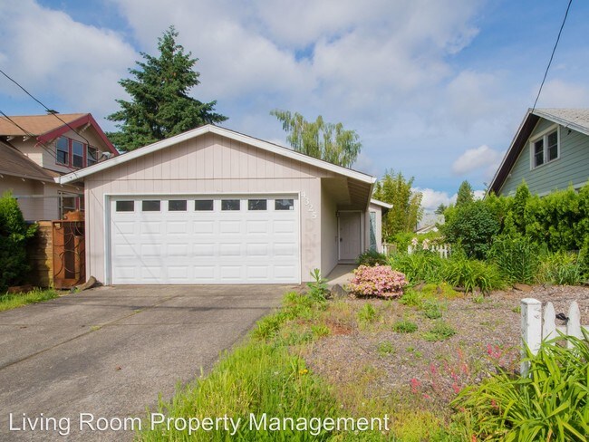
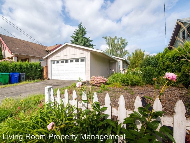
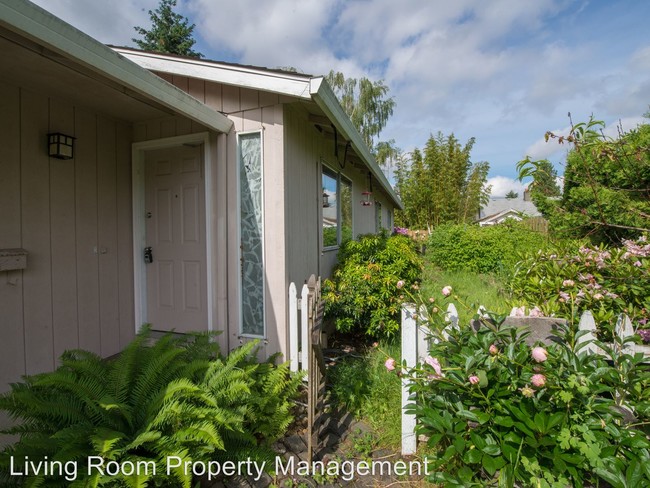
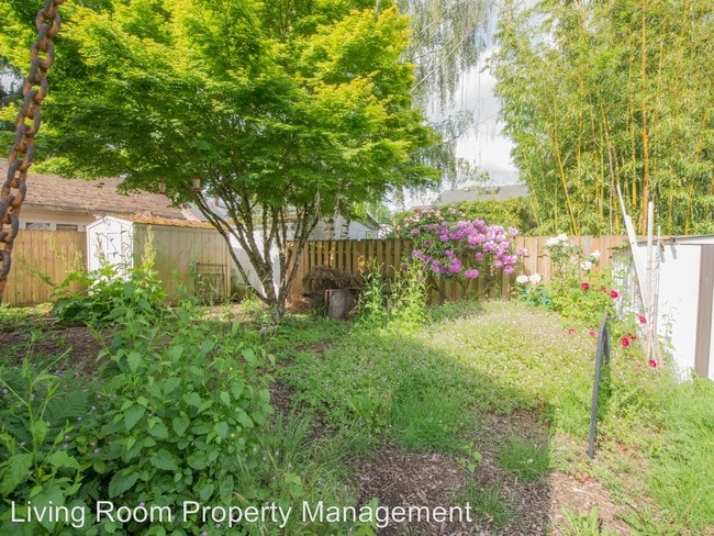
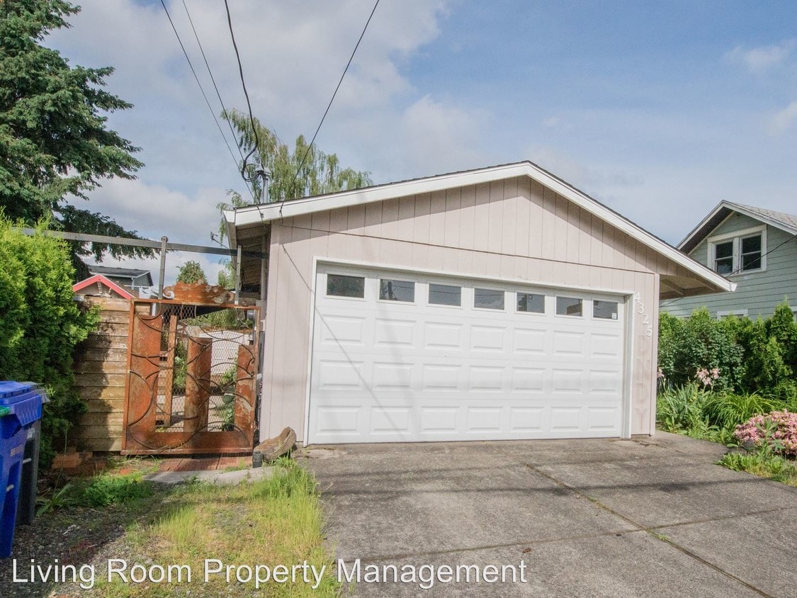
4325 SE 52nd Ave
Portland, OR 97206
2 Weeks Ago
Favorites
4325 SE 52nd Ave

Favorites
Check Back Soon for Upcoming Availability
| Beds | Baths | Average SF |
|---|---|---|
| 3 Bedrooms 3 Bedrooms 3 Br | 1 Bath 1 Bath 1 Ba | 1,200 SF |
About This Property
(503) 929-5223 - Great three bedroom in SE Portland! - This great three bedroom house has everything you need and nothing you don't-- three comfortable bedrooms, smart updates throughout, and a large garage! Don't miss your chance to call this place home! (RLNE3303413) Appliances - Washer & Dryer On-Site. Pet policies - Small Dogs Allowed, Cats Allowed, Large Dogs Allowed.
4325 SE 52nd Ave is a house located in Multnomah County and the 97206 ZIP Code. This area is served by the Portland School District 1j attendance zone.
Location
Get Directions
The lovely Creston-Kenilworth neighborhood is a cozy neighborhood in southeast Portland with a small-town feel and great access to parks while remaining close to downtown.
The Neighborhood is an ideal location with affordable smaller houses and several parks nearby. The architectural style is diverse and historically interesting, with foursquare, craftsman, and Victorian houses lining the tree-filled streets.
This is one of the oldest neighborhoods in Portland, and has gone through a multitude of change as more and more people move into Multnomah county. Nonetheless, the area retains a relaxed and comfortable traditional feel.
Learn more about living in Creston-KenilworthBelow are rent ranges for similar nearby apartments
| Beds | Average Size | Lowest | Typical | Premium |
|---|---|---|---|---|
| Studio Studio Studio | 470 Sq Ft | $950 | $1,240 | $1,373 |
| 1 Bed 1 Bed 1 Bed | 596-601 Sq Ft | $645 | $1,378 | $2,000 |
| 2 Beds 2 Beds 2 Beds | 891-895 Sq Ft | $1,399 | $1,764 | $3,350 |
| 3 Beds 3 Beds 3 Beds | 1179 Sq Ft | $1,950 | $2,269 | $2,495 |
| 4 Beds 4 Beds 4 Beds | 2418 Sq Ft | $3,495 | $3,898 | $4,300 |
Education
| Colleges & Universities | Distance | ||
|---|---|---|---|
| Colleges & Universities | Distance | ||
| Drive: | 7 min | 2.1 mi | |
| Drive: | 8 min | 2.7 mi | |
| Drive: | 13 min | 4.9 mi | |
| Drive: | 14 min | 4.9 mi |
4325 SE 52nd Ave is within 7 minutes or 2.1 miles from Reed College. It is also near Portland Community College and Oregon Health & Sci Waterfront.
Schools


Public Elementary School
Grades PK-5
539 Students
Nearby
Public Elementary School
Grades K-5
260 Students
Attendance Zone
Public High School
Grades 9-12
1,966 Students
Attendance Zone
Private Elementary School
Grades PK-5
81 Students
Nearby
Private Elementary & Middle School
Grades PK-8
245 Students
Nearby
Private High School
Grades 9-12
Nearby
School data provided by
 The GreatSchools Rating helps parents compare schools within a state based on a variety of school quality indicators and provides a helpful picture of how effectively each school serves all of its students. Ratings are on a scale of 1 (below average) to 10 (above average) and can include test scores, college readiness, academic progress, advanced courses, equity, discipline and attendance data. We also advise parents to visit schools, consider other information on school performance and programs, and consider family needs as part of the school selection process.
View GreatSchools Rating Methodology
Data provided by GreatSchools.org © 2025. All rights reserved.
View GreatSchools Rating Methodology
Data provided by GreatSchools.org © 2025. All rights reserved.
Transportation options available in Portland include Se 17Th Ave & Holgate Blvd Max Station, located 2.0 miles from 4325 SE 52nd Ave. 4325 SE 52nd Ave is near Portland International, located 10.7 miles or 21 minutes away.
| Transit / Subway | Distance | ||
|---|---|---|---|
| Transit / Subway | Distance | ||
| Drive: | 6 min | 2.0 mi | |
|
|
Drive: | 6 min | 2.6 mi |
| Drive: | 8 min | 2.7 mi | |
|
|
Drive: | 7 min | 2.9 mi |
| Drive: | 11 min | 4.9 mi |
| Commuter Rail | Distance | ||
|---|---|---|---|
| Commuter Rail | Distance | ||
|
|
Drive: | 16 min | 5.5 mi |
|
|
Drive: | 21 min | 11.1 mi |
|
|
Drive: | 24 min | 12.1 mi |
|
|
Drive: | 24 min | 12.1 mi |
|
|
Drive: | 25 min | 13.3 mi |
| Airports | Distance | ||
|---|---|---|---|
| Airports | Distance | ||
|
Portland International
|
Drive: | 21 min | 10.7 mi |
Time and distance from 4325 SE 52nd Ave.
| Shopping Centers | Distance | ||
|---|---|---|---|
| Shopping Centers | Distance | ||
| Walk: | 7 min | 0.4 mi | |
| Walk: | 8 min | 0.4 mi | |
| Walk: | 13 min | 0.7 mi |
4325 SE 52nd Ave has 3 shopping centers within 0.7 mile, which is about a 13-minute walk. The miles and minutes will be for the farthest away property.
| Parks and Recreation | Distance | ||
|---|---|---|---|
| Parks and Recreation | Distance | ||
|
Creston Park
|
Walk: | 11 min | 0.6 mi |
|
Kenilworth Park
|
Drive: | 3 min | 1.2 mi |
|
Brentwood Park
|
Drive: | 5 min | 1.7 mi |
|
Crystal Springs Rhododendron Garden
|
Drive: | 7 min | 2.3 mi |
|
Mt. Tabor Park
|
Drive: | 11 min | 3.4 mi |
4325 SE 52nd Ave has 5 parks within 3.4 miles, including Creston Park, Kenilworth Park, and Brentwood Park.
| Hospitals | Distance | ||
|---|---|---|---|
| Hospitals | Distance | ||
| Drive: | 7 min | 2.7 mi | |
| Drive: | 10 min | 3.8 mi | |
| Drive: | 10 min | 3.8 mi |
4325 SE 52nd Ave has 3 hospitals within 3.8 miles, the nearest is Providence Portland Medical Center which is 2.7 miles away and a 7 minute drive.
| Military Bases | Distance | ||
|---|---|---|---|
| Military Bases | Distance | ||
| Drive: | 20 min | 10.0 mi | |
| Drive: | 44 min | 24.7 mi |
4325 SE 52nd Ave is 10.0 miles from Portland Airport Air Guard Station, and is convenient to other military bases, including Camp Bonneville Military Reservation.
You May Also Like
Similar Rentals Nearby


What Are Walk Score®, Transit Score®, and Bike Score® Ratings?
Walk Score® measures the walkability of any address. Transit Score® measures access to public transit. Bike Score® measures the bikeability of any address.
What is a Sound Score Rating?
A Sound Score Rating aggregates noise caused by vehicle traffic, airplane traffic and local sources
4325 SE 52nd Ave
Portland, OR 97206