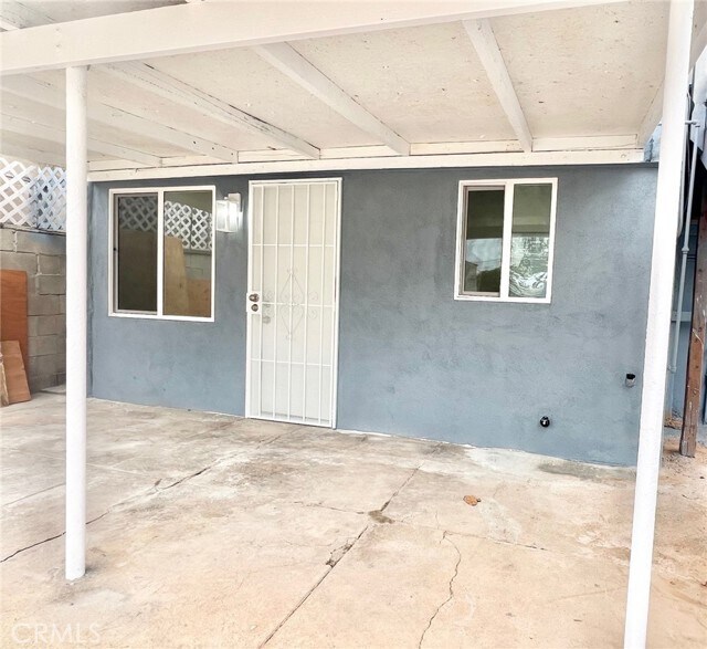
4243 Zaring St
Los Angeles, CA 90063

Check Back Soon for Upcoming Availability
| Beds | Baths | Average SF |
|---|---|---|
| 2 Bedrooms 2 Bedrooms 2 Br | 1 Bath 1 Bath 1 Ba | 400 SF |
Fees and Policies
The fees below are based on community-supplied data and may exclude additional fees and utilities.
- Parking
-
Covered--Assigned Parking
-
Other--Assigned Parking
-
Street--Assigned Parking
Details
Utilities Included
-
Water
About This Property
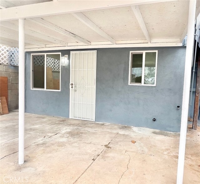
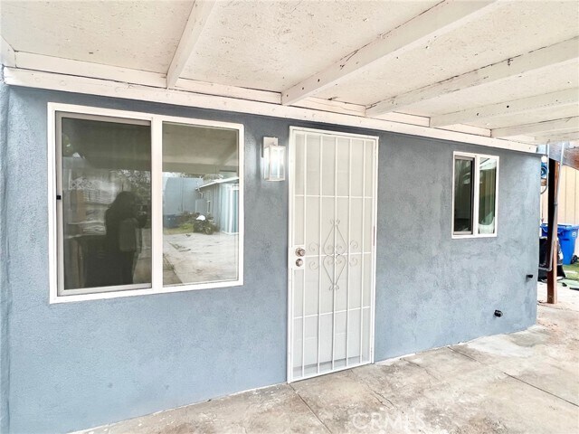
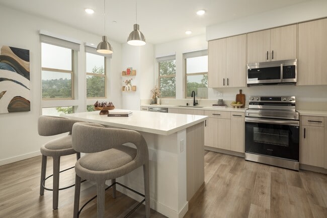
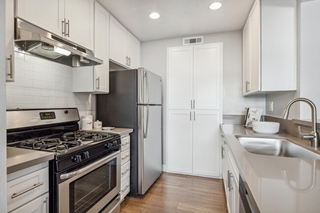
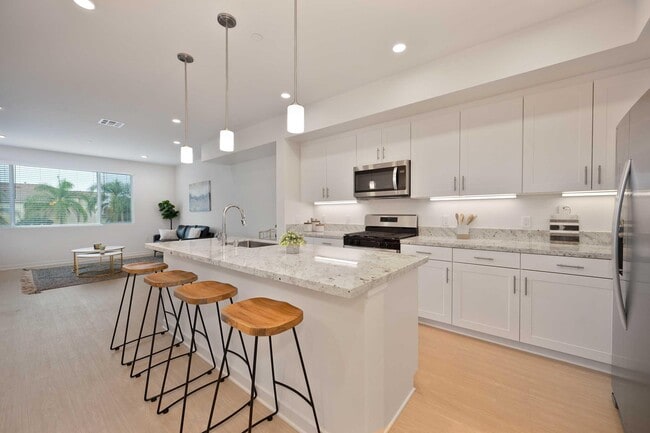
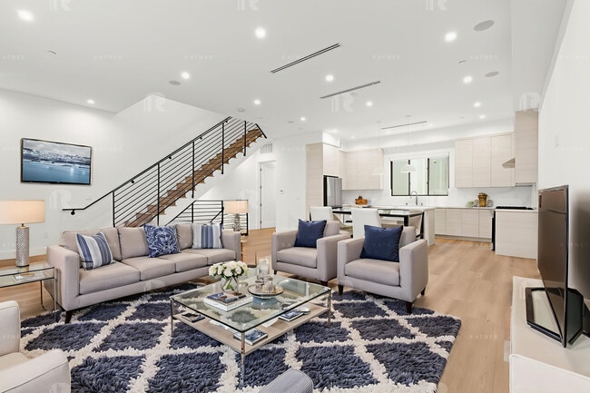
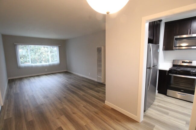
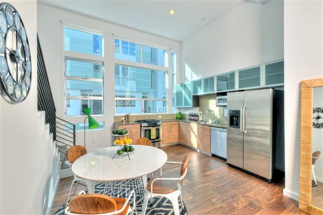
** Remodeled 2-Bedroom Downstairs Unit located in City Terrace** This beautiful downstairs unit boasts two spacious bedrooms and one full bath. The recent updates include brand new flooring and fresh paint throughout. The kitchen has been completely remodeled with new white shaker cabinets, stainless steel microwave and single basin sink, including sleek white quartz countertops. The full bath has also been beautifully updated with new tile and fixtures for an elegant design. The unit also has 1 onsite parking space. Convenience is key with this unit's prime location. You’ll have easy access to all major freeways, and you’re just minutes away from the vibrant heart of Downtown Los Angeles.
4243 Zaring St is a townhome located in Los Angeles County and the 90063 ZIP Code. This area is served by the Los Angeles Unified attendance zone.
Townhome Features
- Microwave
- Tile Floors
- Vinyl Flooring
- Fenced Lot
- Patio
Southeast Los Angeles is directly south of the Fashion District and east of the University of Southern California (USC). This large neighborhood is minutes from downtown Los Angeles, Hollywood, and Beverly Hills, with easy access to the 110 Freeway. This great location places you near sunny beaches, nature trails, and a bevy of leading employers. Students can access both USC and California State University Long Beach from their Southeast LA apartment.
This densely populated, diverse neighborhood features everything from food trucks and corner markets to wide sidewalks and residential areas filled with bungalows, ranch, and Spanish Colonial architecture. Southeast LA features palm trees and mountain views, tampered with gritty undertones to give it a cool, funky vibe.
As for outdoor fun, take your pick between Catalina Island, Venus Beach, or the Santa Monica Pier. Nearby, you’ll find more sunny beaches like White Point, Cabrillo, and Long Beach.
Learn more about living in Southeast Los AngelesBelow are rent ranges for similar nearby apartments
- Microwave
- Tile Floors
- Vinyl Flooring
- Fenced Lot
- Patio
| Colleges & Universities | Distance | ||
|---|---|---|---|
| Colleges & Universities | Distance | ||
| Drive: | 4 min | 1.6 mi | |
| Drive: | 6 min | 2.5 mi | |
| Drive: | 8 min | 3.7 mi | |
| Drive: | 12 min | 6.3 mi |
 The GreatSchools Rating helps parents compare schools within a state based on a variety of school quality indicators and provides a helpful picture of how effectively each school serves all of its students. Ratings are on a scale of 1 (below average) to 10 (above average) and can include test scores, college readiness, academic progress, advanced courses, equity, discipline and attendance data. We also advise parents to visit schools, consider other information on school performance and programs, and consider family needs as part of the school selection process.
View GreatSchools Rating Methodology
Data provided by GreatSchools.org © 2025. All rights reserved.
Transportation options available in Los Angeles include Maravilla Station, located 0.6 mile from 4243 Zaring St. 4243 Zaring St is near Long Beach (Daugherty Field), located 17.6 miles or 26 minutes away, and Los Angeles International, located 19.8 miles or 31 minutes away.
| Transit / Subway | Distance | ||
|---|---|---|---|
| Transit / Subway | Distance | ||
| Walk: | 11 min | 0.6 mi | |
|
|
Drive: | 2 min | 1.1 mi |
|
|
Drive: | 3 min | 1.4 mi |
|
|
Drive: | 3 min | 1.6 mi |
|
|
Drive: | 5 min | 2.2 mi |
| Commuter Rail | Distance | ||
|---|---|---|---|
| Commuter Rail | Distance | ||
|
|
Drive: | 9 min | 4.2 mi |
|
|
Drive: | 10 min | 4.4 mi |
|
|
Drive: | 9 min | 4.5 mi |
|
|
Drive: | 10 min | 5.8 mi |
| Drive: | 12 min | 8.5 mi |
| Airports | Distance | ||
|---|---|---|---|
| Airports | Distance | ||
|
Long Beach (Daugherty Field)
|
Drive: | 26 min | 17.6 mi |
|
Los Angeles International
|
Drive: | 31 min | 19.8 mi |
Time and distance from 4243 Zaring St.
| Shopping Centers | Distance | ||
|---|---|---|---|
| Shopping Centers | Distance | ||
| Walk: | 17 min | 0.9 mi | |
| Walk: | 19 min | 1.0 mi | |
| Walk: | 20 min | 1.1 mi |
| Parks and Recreation | Distance | ||
|---|---|---|---|
| Parks and Recreation | Distance | ||
|
Hollenbeck Lake
|
Drive: | 6 min | 2.8 mi |
|
Vista Hermosa Natural Park
|
Drive: | 11 min | 6.1 mi |
|
Audubon Center at Debs Park
|
Drive: | 13 min | 7.0 mi |
|
Elysian Park
|
Drive: | 16 min | 7.1 mi |
|
Augustus Hawkins Natural Park
|
Drive: | 11 min | 7.2 mi |
| Hospitals | Distance | ||
|---|---|---|---|
| Hospitals | Distance | ||
| Drive: | 3 min | 1.5 mi | |
| Drive: | 4 min | 2.0 mi | |
| Drive: | 6 min | 2.9 mi |
| Military Bases | Distance | ||
|---|---|---|---|
| Military Bases | Distance | ||
| Drive: | 32 min | 21.8 mi | |
| Drive: | 28 min | 22.0 mi |
You May Also Like
Similar Rentals Nearby
-
-
-
-
1 / 50
-
-
-
-
-
-
What Are Walk Score®, Transit Score®, and Bike Score® Ratings?
Walk Score® measures the walkability of any address. Transit Score® measures access to public transit. Bike Score® measures the bikeability of any address.
What is a Sound Score Rating?
A Sound Score Rating aggregates noise caused by vehicle traffic, airplane traffic and local sources
