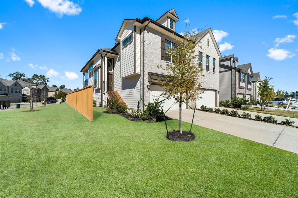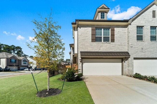
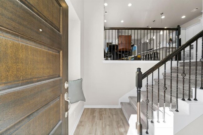
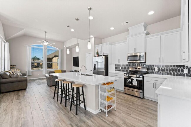


3 Beds, 3 Baths, 1,420 sq ft
$1,900
Total Monthly Price
12 Month Lease
Total Monthly Price
New
Prices include all required monthly fees.
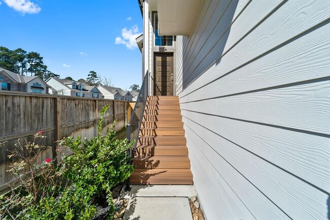
18001 Cypress Trace Rd Unit 305