
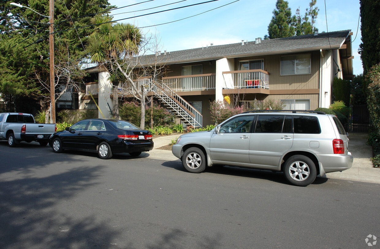
Fayette Arms Apartments
2680 Fayette Dr,
Mountain View, CA 94040
$3,200 - $3,438
1-2 Beds

Experience Palo Alto living at 4217 Mckellar Ln. In Palo Alto's 94306 Zip code, moving here offers a variety of nearby highlights. The team of leasing professionals is ready to help you find your new apartment. Make a visit to see the available floorplan options. Drop by the leasing office to ask about the current floorplan availability.
4217 Mckellar Ln is an apartment community located in Santa Clara County and the 94306 ZIP Code. This area is served by the Palo Alto Unified School District attendance zone.
At one time, the Palo Alto Orchards neighborhood was rich with fruit-bearing trees. These days, the only remnant of the area's agricultural past is its name. The serene, family-friendly neighborhood of cul-de-sacs and tree-lined streets was built around the end of World War II. Today, Palo Alto Orchards offers residents tranquil luxury in a lush environment near some of the largest technology companies in the world.
Palo Alto Orchards sits about 34 miles south of San Francisco. San Jose is about a 20-minute drive away via El Camino Real or Highway 101. Close proximity to Mountain View and Stanford places the community near some of the area’s top employers. Numerous nature preserves and parks are also within easy driving distance of Palo Alto Orchards, providing ample opportunities for outdoor recreation close to home.
Learn more about living in Palo Alto OrchardsCompare neighborhood and city base rent averages by bedroom.
| Palo Alto Orchards | Palo Alto, CA | |
|---|---|---|
| Studio | $2,545 | $2,985 |
| 1 Bedroom | $3,529 | $3,077 |
| 2 Bedrooms | $4,133 | $3,905 |
| 3 Bedrooms | $9,135 | $4,987 |
| Colleges & Universities | Distance | ||
|---|---|---|---|
| Colleges & Universities | Distance | ||
| Drive: | 6 min | 1.7 mi | |
| Drive: | 9 min | 3.4 mi | |
| Drive: | 10 min | 4.3 mi | |
| Drive: | 13 min | 5.6 mi |


Transportation options available in Palo Alto include Mountain View Station, located 3.2 miles from 4217 Mckellar Ln. 4217 Mckellar Ln is near Norman Y Mineta San Jose International, located 12.6 miles or 20 minutes away, and San Francisco International, located 24.3 miles or 34 minutes away.
| Transit / Subway | Distance | ||
|---|---|---|---|
| Transit / Subway | Distance | ||
| Drive: | 6 min | 3.2 mi | |
|
|
Drive: | 9 min | 4.5 mi |
| Drive: | 10 min | 5.0 mi | |
|
|
Drive: | 11 min | 5.2 mi |
| Drive: | 12 min | 5.9 mi |
| Commuter Rail | Distance | ||
|---|---|---|---|
| Commuter Rail | Distance | ||
| Drive: | 4 min | 1.7 mi | |
| Drive: | 5 min | 2.2 mi | |
| Drive: | 8 min | 3.4 mi | |
| Drive: | 9 min | 3.8 mi | |
| Drive: | 11 min | 4.8 mi |
| Airports | Distance | ||
|---|---|---|---|
| Airports | Distance | ||
|
Norman Y Mineta San Jose International
|
Drive: | 20 min | 12.6 mi |
|
San Francisco International
|
Drive: | 34 min | 24.3 mi |
Scores provided by
Traffic
-Airport
-Businesses
-Scores provided by
HowLoud What is a Sound Score Rating? A Sound Score Rating aggregates noise caused by vehicle traffic, airplane traffic and local sources. How It WorksTime and distance from 4217 Mckellar Ln.
| Shopping Centers | Distance | ||
|---|---|---|---|
| Shopping Centers | Distance | ||
| Walk: | 15 min | 0.8 mi | |
| Walk: | 18 min | 0.9 mi | |
| Walk: | 18 min | 1.0 mi |
| Parks and Recreation | Distance | ||
|---|---|---|---|
| Parks and Recreation | Distance | ||
|
Terman Park
|
Walk: | 17 min | 0.9 mi |
|
J. Pearce Mitchell Park
|
Drive: | 5 min | 1.6 mi |
|
Bol Park
|
Drive: | 5 min | 1.8 mi |
|
Esther Clark Nature Preserve
|
Drive: | 5 min | 2.0 mi |
|
Redwood Grove
|
Drive: | 8 min | 3.1 mi |
| Hospitals | Distance | ||
|---|---|---|---|
| Hospitals | Distance | ||
| Drive: | 10 min | 4.0 mi | |
| Drive: | 9 min | 4.1 mi | |
| Drive: | 11 min | 4.6 mi |
| Military Bases | Distance | ||
|---|---|---|---|
| Military Bases | Distance | ||
| Drive: | 13 min | 5.5 mi | |
| Drive: | 59 min | 40.5 mi | |
| Drive: | 60 min | 40.7 mi |
Fitness Center Pool In Unit Washer & Dryer High-Speed Internet Stainless Steel Appliances Package Service
What Are Walk Score®, Transit Score®, and Bike Score® Ratings?
Walk Score® measures the walkability of any address. Transit Score® measures access to public transit. Bike Score® measures the bikeability of any address.
What is a Sound Score Rating?
A Sound Score Rating aggregates noise caused by vehicle traffic, airplane traffic and local sources.


