

$702
/ Month
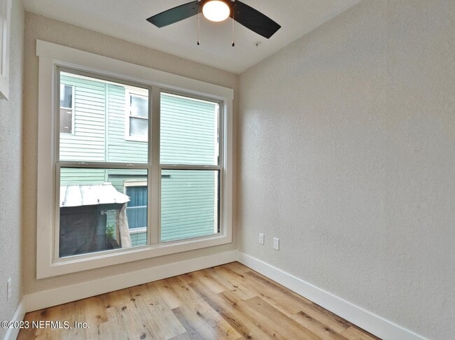
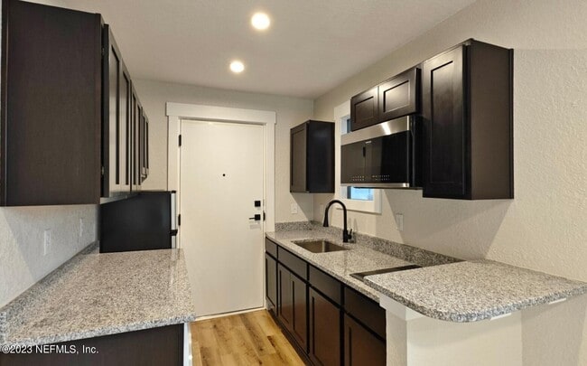
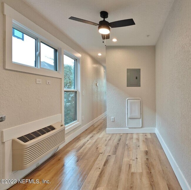
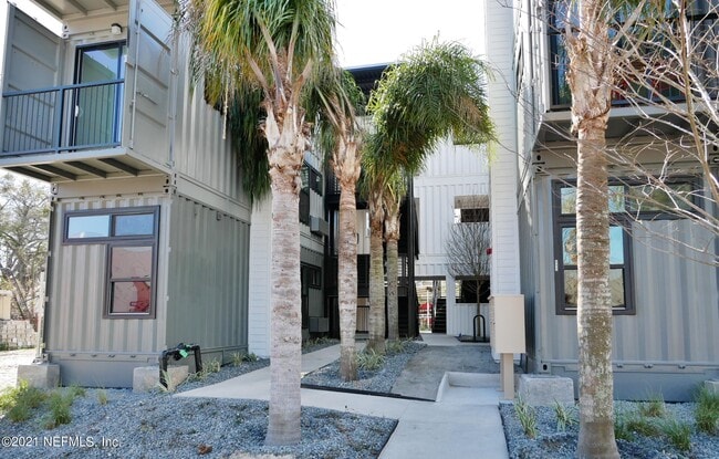
412 E Ashley St
Jacksonville, FL 32202
Favorites
-
Bedrooms
1
-
Bathrooms
1
-
Square Feet
--
412 E Ashley St

Favorites
Contact
- Listed by Locayt
Location
Get Directions
Jacksonville covers more than 800 square miles, making it the largest city by land area in the contiguous United States — a distinction that shapes everything about daily life here. That sheer scale means neighborhoods feel distinct from one another: Riverside and Avondale offer historic architecture and an arts-forward atmosphere close to the St. Johns River, San Marco delivers a walkable, boutique-lined character near Downtown, and Southside sits near the University of North Florida and major commercial corridors. The economy runs deep, anchored by major employers like CSX Corporation, Fidelity Information Services, and Naval Air Station Jacksonville, giving the city a broad and stable employment base. Florida State College at Jacksonville adds an academic presence woven throughout the urban core.
Learn more about living in Jacksonville
Education
| Colleges & Universities | Distance | ||
|---|---|---|---|
| Colleges & Universities | Distance | ||
| Walk: | 17 min | 0.9 mi | |
| Drive: | 12 min | 5.3 mi | |
| Drive: | 17 min | 9.9 mi | |
| Drive: | 21 min | 10.0 mi |
412 E Ashley St is within 17 minutes or 0.9 mile from Fla. State Coll. Jacksonville. It is also near Jacksonville University and Florida Coastal School of Law.
Transportation options available in Jacksonville include Rosa L. Parks/Fccj, located 0.6 mile from 412 E Ashley St. 412 E Ashley St is near Jacksonville International, located 15.1 miles or 24 minutes away.
| Transit / Subway | Distance | ||
|---|---|---|---|
| Transit / Subway | Distance | ||
|
|
Walk: | 12 min | 0.6 mi |
|
|
Walk: | 12 min | 0.6 mi |
|
|
Walk: | 17 min | 0.9 mi |
|
|
Drive: | 4 min | 1.4 mi |
| Drive: | 5 min | 1.8 mi |
| Commuter Rail | Distance | ||
|---|---|---|---|
| Commuter Rail | Distance | ||
|
|
Drive: | 13 min | 6.5 mi |
| Airports | Distance | ||
|---|---|---|---|
| Airports | Distance | ||
|
Jacksonville International
|
Drive: | 24 min | 15.1 mi |
Getting Around
 What do Walkability, Transit, Drivability, and Bikeability mean?
Walkability measures the walking distance to day-to-day needs.
Transit measures access to public transportation.
Drivability measures congestion, parking availability, and access to major roads.
Bikeability measures the suitability for cycling.
How It Works
What do Walkability, Transit, Drivability, and Bikeability mean?
Walkability measures the walking distance to day-to-day needs.
Transit measures access to public transportation.
Drivability measures congestion, parking availability, and access to major roads.
Bikeability measures the suitability for cycling.
How It Works
Moderately Walkable
Walkability
70
/ 100
Some Public Transit
Transit
40
/ 100
Moderately Drivable
Drivability
60
/ 100
Fairly Bikeable
Bikeability
50
/ 100
Scores provided by
-
Soundscore™
-
/ 100
Traffic
-Airport
-Businesses
-Scores provided by
HowLoud What is a Sound Score Rating? A Sound Score Rating aggregates noise caused by vehicle traffic, airplane traffic and local sources. How It WorksTime and distance from 412 E Ashley St.
| Shopping Centers | Distance | ||
|---|---|---|---|
| Shopping Centers | Distance | ||
| Walk: | 16 min | 0.8 mi | |
| Drive: | 4 min | 1.6 mi | |
| Drive: | 5 min | 1.9 mi |
412 E Ashley St has 3 shopping centers within 1.9 miles, which is about a 5-minute drive. The miles and minutes will be for the farthest away property.
| Parks and Recreation | Distance | ||
|---|---|---|---|
| Parks and Recreation | Distance | ||
|
MOSH - Museum of Science & History
|
Drive: | 4 min | 1.3 mi |
|
Jessie Ball DuPont Park
|
Drive: | 4 min | 1.4 mi |
|
The Cummer Museum of Art and Gardens
|
Drive: | 5 min | 2.3 mi |
|
Bulls Bay Preserve
|
Drive: | 5 min | 2.5 mi |
|
Cuba Hunter Park
|
Drive: | 8 min | 4.6 mi |
412 E Ashley St has 5 parks within 4.6 miles, including MOSH - Museum of Science & History, Jessie Ball DuPont Park, and The Cummer Museum of Art and Gardens.
| Hospitals | Distance | ||
|---|---|---|---|
| Hospitals | Distance | ||
| Drive: | 4 min | 1.6 mi | |
| Drive: | 4 min | 2.0 mi | |
| Drive: | 8 min | 3.4 mi |
412 E Ashley St has 3 hospitals within 3.4 miles, the nearest is Baptist Health Medical Center - Jacksonville which is 1.6 miles away and a 4 minute drive.
| Military Bases | Distance | ||
|---|---|---|---|
| Military Bases | Distance | ||
| Drive: | 25 min | 13.3 mi | |
| Drive: | 27 min | 16.2 mi | |
| Drive: | 30 min | 17.7 mi |
412 E Ashley St has 3 military bases within 17.7 miles, the nearest is Jacksonville Naval Air Station which is 13.3 miles away and a 25 minute drive.
You May Also Like
Similar Rentals Nearby
-
-

-

-

-

-

-

-

-
 3 Beds, 2 Baths, 1,145 sq ft$1,5008201 Green Parrot Rd Unit 202
 -
 2 Beds, 2 Baths, 1,158 sq ft$1,5008241 Pelican Landing Rd Unit 206
What Are Walk Score®, Transit Score®, and Bike Score® Ratings?
Walk Score® measures the walkability of any address. Transit Score® measures access to public transit. Bike Score® measures the bikeability of any address.
What is a Sound Score Rating?
A Sound Score Rating aggregates noise caused by vehicle traffic, airplane traffic and local sources.
412 E Ashley St
Jacksonville, FL 32202