
$475
/ Month
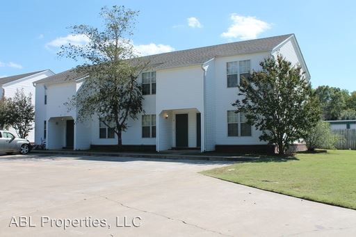
406 Mt Harmony Rd
Greenwood, AR 72936
Favorites
406 Mt Harmony Rd

Favorites
Check Back Soon for Upcoming Availability
| Beds | Baths | Average SF |
|---|---|---|
| 2 Bedrooms 2 Bedrooms 2 Br | 1.5 Baths 1.5 Baths 1.5 Ba | 1,258 SF |
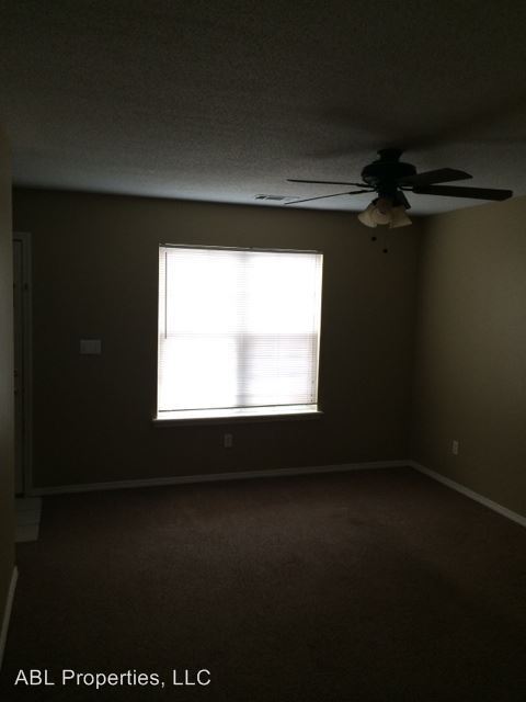
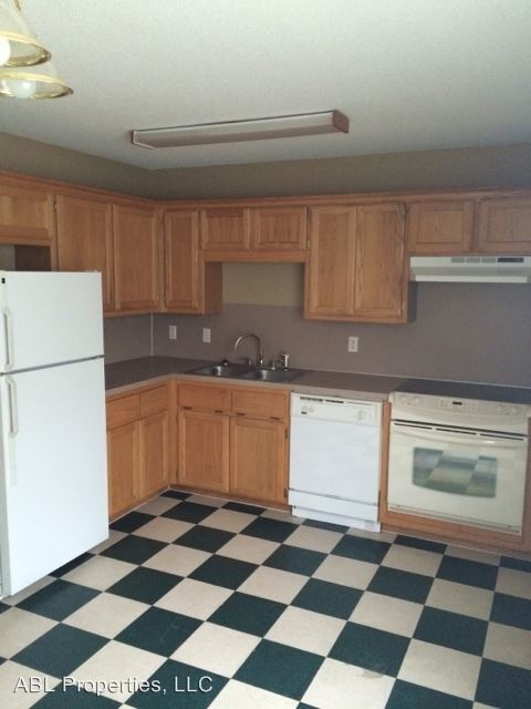
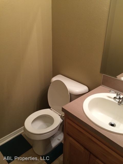
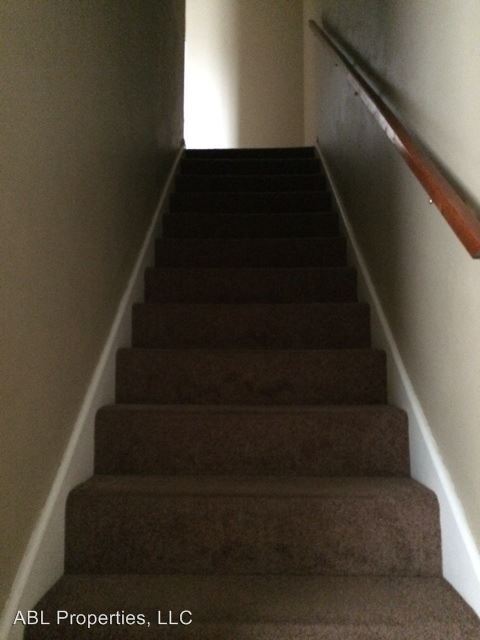
About This Property
(479) 484-9400 - 2 Bedroom Townhome - 2 Bedroom, 1.5 Bath, Stove, Dishwasher, Refigerator, All Elec., Washer & Dryer Connections (RLNE4007531)
406 Mt Harmony Rd is an apartment community located in Sebastian County and the 72936 ZIP Code.
406 Mt Harmony Rd,
Greenwood,
AR
72936
Founded in 1851, the city of Greenwood was named after Judge Alfred Burton Greenwood, who presided over 10 northwest Arkansas counties during his tenure. From the clock and bell tower on the town square to the Old Jail Museum, this historic coal miners’ town features a plethora of growing modern conveniences. Numerous dining options can be found along West Center Street. Follow this road to Route 71 and I-540, and you’ll discover cool shopping boutiques in nearby Fort Smith and Van Buren.
Residents of Greenwood enjoy concerts at the Greenwood Performing Arts Center, a round of golf with friends at Vache Grass Golf Course, and a stroll along the many walking/jogging trails that surround Greenwood Lake. Less than a two-hour drive away is the Ouachita National Forest.
Learn more about living in Greenwood
Education
| Colleges & Universities | Distance | ||
|---|---|---|---|
| Colleges & Universities | Distance | ||
| Drive: | 29 min | 18.9 mi |
406 Mt Harmony Rd is within 29 minutes or 18.9 miles from Univ. of Ark., Fort Smith.
Walkability Near 406 Mt Harmony Rd Greenwood, AR 72936
Getting Around
 What do Walkability, Transit, Drivability, and Bikeability mean?
Walkability measures the walking distance to day-to-day needs.
Transit measures access to public transportation.
Drivability measures congestion, parking availability, and access to major roads.
Bikeability measures the suitability for cycling.
How It Works
What do Walkability, Transit, Drivability, and Bikeability mean?
Walkability measures the walking distance to day-to-day needs.
Transit measures access to public transportation.
Drivability measures congestion, parking availability, and access to major roads.
Bikeability measures the suitability for cycling.
How It Works
Somewhat Walkable
Walkability
20
/ 100
Exceptionally Drivable
Drivability
100
/ 100
Not Bikeable
Bikeability
10
/ 100
Scores provided by
-
Soundscore™
-
/ 100
Traffic
-Airport
-Businesses
-Scores provided by
HowLoud What is a Sound Score Rating? A Sound Score Rating aggregates noise caused by vehicle traffic, airplane traffic and local sources. How It WorksYou May Also Like
Similar Rentals Nearby
-
-
-
-
-
1 / 2

-
2 Beds$955+Total Monthly PriceTotal Monthly Price NewPrices include required monthly fees of $60.Base Rent:2 Beds$895+
-
-
-
-


What Are Walk Score®, Transit Score®, and Bike Score® Ratings?
Walk Score® measures the walkability of any address. Transit Score® measures access to public transit. Bike Score® measures the bikeability of any address.
What is a Sound Score Rating?
A Sound Score Rating aggregates noise caused by vehicle traffic, airplane traffic and local sources.
406 Mt Harmony Rd
Greenwood, AR 72936