
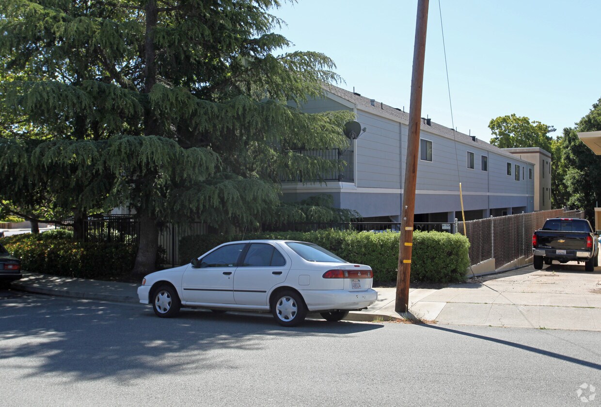
Artisan Crossing
1325 Old County Rd,
Belmont, CA 94002
$3,801 - $5,598
Studio - 2 Beds


Find your next place to live at 400 Laurel St in San Carlos. Based in San Carlos's 94070 area, living at this community offers plenty of nearby highlights. At 400 Laurel St, you'll experience access to a variety of amenities and features like smoke free options, convenient on-site parking options, and high-speed internet access. The team of leasing professionals is ready to show you our community. At 400 Laurel St you're right at home.
400 Laurel St is an apartment community located in San Mateo County and the 94070 ZIP Code. This area is served by the San Carlos Elementary School District attendance zone.
High Speed Internet Access
Smoke Free
Heating
Range
San Carlos sits at the heart of the San Francisco Peninsula, tucked between Redwood City and Belmont in San Mateo County, earning its long-held nickname "The City of Good Living" through a mix of quiet residential streets and a walkable downtown core. The city covers just six square miles, yet packs in a strong sense of place anchored by Laurel Street, which serves as the commercial and social hub where coffee shops, wine bars, and local restaurants draw residents out on foot most evenings. A centrally located Caltrain station makes commuting north to San Francisco or south to San Jose straightforward without a car, and proximity to both Highway 101 and Interstate 280 adds flexibility for those who drive.
The housing stock reflects the city's blend of established neighborhoods and newer infill development.
Learn more about living in San Carlos| Colleges & Universities | Distance | ||
|---|---|---|---|
| Colleges & Universities | Distance | ||
| Drive: | 13 min | 5.6 mi | |
| Drive: | 12 min | 7.9 mi | |
| Drive: | 15 min | 8.2 mi | |
| Drive: | 22 min | 9.1 mi |


Transportation options available in San Carlos include Millbrae (Caltrain Transfer Platform), located 11.2 miles from 400 Laurel St. 400 Laurel St is near San Francisco International, located 12.3 miles or 18 minutes away, and Metro Oakland International, located 27.9 miles or 36 minutes away.
| Transit / Subway | Distance | ||
|---|---|---|---|
| Transit / Subway | Distance | ||
|
|
Drive: | 16 min | 11.2 mi |
| Drive: | 17 min | 12.1 mi | |
|
|
Drive: | 18 min | 12.2 mi |
| Commuter Rail | Distance | ||
|---|---|---|---|
| Commuter Rail | Distance | ||
| Walk: | 6 min | 0.3 mi | |
| Drive: | 3 min | 1.2 mi | |
| Drive: | 6 min | 2.5 mi | |
| Drive: | 8 min | 3.3 mi | |
| Drive: | 8 min | 5.1 mi |
| Airports | Distance | ||
|---|---|---|---|
| Airports | Distance | ||
|
San Francisco International
|
Drive: | 18 min | 12.3 mi |
|
Metro Oakland International
|
Drive: | 36 min | 27.9 mi |
Scores provided by
Traffic
-Airport
-Businesses
-Scores provided by
HowLoud What is a Sound Score Rating? A Sound Score Rating aggregates noise caused by vehicle traffic, airplane traffic and local sources. How It WorksTime and distance from 400 Laurel St.
| Shopping Centers | Distance | ||
|---|---|---|---|
| Shopping Centers | Distance | ||
| Walk: | 11 min | 0.6 mi | |
| Walk: | 14 min | 0.8 mi | |
| Drive: | 3 min | 1.3 mi |
| Parks and Recreation | Distance | ||
|---|---|---|---|
| Parks and Recreation | Distance | ||
|
Red Morton Park
|
Drive: | 9 min | 3.7 mi |
|
Edgewood Park & Natural Preserve
|
Drive: | 8 min | 3.9 mi |
|
Stulsaft Park
|
Drive: | 12 min | 4.9 mi |
|
Pulgas Ridge Open Space Preserve
|
Drive: | 11 min | 5.4 mi |
|
Filoli Gardens
|
Drive: | 16 min | 6.4 mi |
| Hospitals | Distance | ||
|---|---|---|---|
| Hospitals | Distance | ||
| Drive: | 7 min | 2.8 mi | |
| Drive: | 7 min | 2.9 mi | |
| Drive: | 6 min | 3.0 mi |
| Military Bases | Distance | ||
|---|---|---|---|
| Military Bases | Distance | ||
| Drive: | 22 min | 15.1 mi | |
| Drive: | 48 min | 35.4 mi | |
| Drive: | 49 min | 35.6 mi |
What Are Walk Score®, Transit Score®, and Bike Score® Ratings?
Walk Score® measures the walkability of any address. Transit Score® measures access to public transit. Bike Score® measures the bikeability of any address.
What is a Sound Score Rating?
A Sound Score Rating aggregates noise caused by vehicle traffic, airplane traffic and local sources.
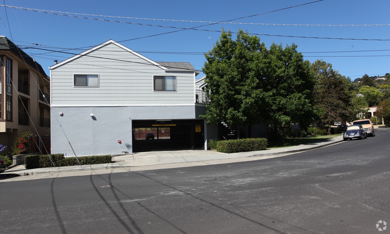
400 Laurel St
San Carlos, CA 94070


