400 Davie Rd
400 Davie Rd
Carrboro, NC 27510
Favorites
400 Davie Rd

Favorites
Check Back Soon for Upcoming Availability
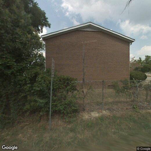
400 Davie Rd,
Carrboro,
NC
27510
Located just 12 miles outside of Durham, North Carolina, the lively city of Carrboro offers residents vibrant urban amenities with suburban charm. Carrboro neighbors the University of North Carolina at Chapel Hill, bringing students to the city, accompanied by a youthful, college town vibe.
Zoned into Chapel Hill-Carrboro City Schools, residents appreciate the wonderful public schools in the area, as well as access to public transportation. Carrboro’s downtown area offers retail shopping, local restaurants, and entertainment for all ages. Try any one of the delicious eateries in town, particularly along Main Street. While you’re there, catch a concert at Cat’s Cradle and enjoy talented local artists.
Carrboro houses part of the Carolina North Forest and Bolin Creek Park with nearby hiking and biking trails.
Learn more about living in Carrboro
Education
| Colleges & Universities | Distance | ||
|---|---|---|---|
| Colleges & Universities | Distance | ||
| Drive: | 9 min | 2.9 mi | |
| Drive: | 27 min | 15.0 mi | |
| Drive: | 29 min | 15.0 mi | |
| Drive: | 30 min | 16.8 mi |
400 Davie Rd is within 9 minutes or 2.9 miles from UNC-Chapel Hill. It is also near Duke University and N.C. Central Univ..
Walkability Near 400 Davie Rd Carrboro, NC 27510
Getting Around
 What do Walkability, Transit, Drivability, and Bikeability mean?
Walkability measures the walking distance to day-to-day needs.
Transit measures access to public transportation.
Drivability measures congestion, parking availability, and access to major roads.
Bikeability measures the suitability for cycling.
How It Works
What do Walkability, Transit, Drivability, and Bikeability mean?
Walkability measures the walking distance to day-to-day needs.
Transit measures access to public transportation.
Drivability measures congestion, parking availability, and access to major roads.
Bikeability measures the suitability for cycling.
How It Works
Moderately Walkable
Walkability
60
/ 100
Limited Public Transit
Transit
30
/ 100
Exceptionally Drivable
Drivability
90
/ 100
Moderately Bikeable
Bikeability
60
/ 100
Scores provided by
-
Soundscore™
-
/ 100
Traffic
-Airport
-Businesses
-Scores provided by
HowLoud What is a Sound Score Rating? A Sound Score Rating aggregates noise caused by vehicle traffic, airplane traffic and local sources. How It WorksYou May Also Like
Similar Rentals Nearby
-
-
-
-
-
-
-
-
-
-
1 Bed$1,669+2 Beds$2,223+3 Beds$3,079+Total Monthly PriceTotal Monthly Price NewPrices include base rent and required monthly fees of $124. Variable costs based on usage may apply.Base Rent:1 Bed$1,545+2 Beds$2,099+3 Beds$2,955+Specials
Pets Allowed Fitness Center Pool Dishwasher Refrigerator Kitchen


