


$1,950 / Month

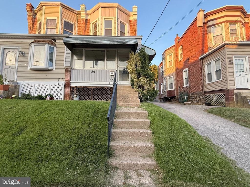
39 Walnut St

,

Clifton Heights, PA 19018

Share Listing
Favorites
484-447-8570
  • Bedrooms

    3

  • Bathrooms

    1

  • Square Feet

    --

  • Available

    Available Sep 19

Highlight

  • Basement
39 Walnut St
Share Listing
Favorites

About This Home

Available Sep 19

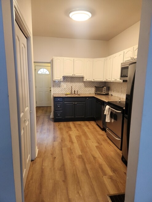
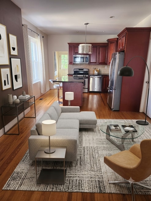
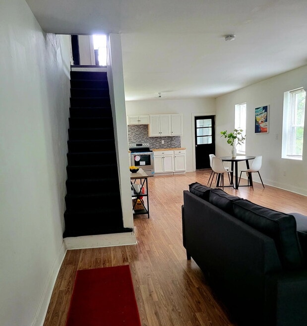
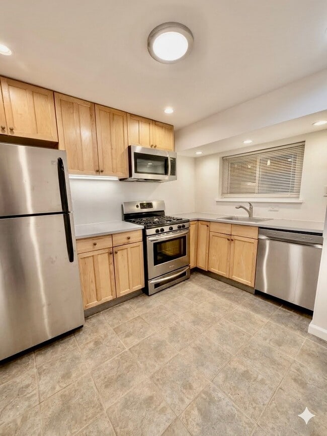
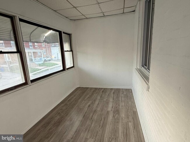
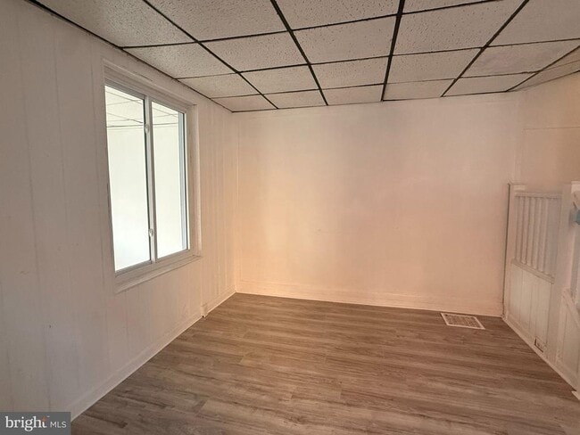
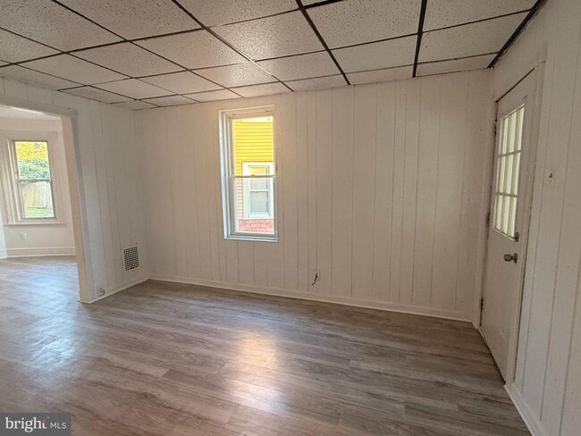
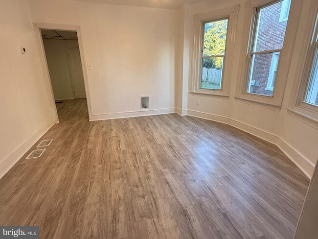
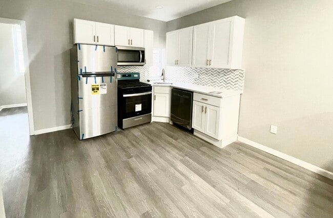
Welcome to this beautifully updated 3-bedroom, 1-bath twin in Clifton Heights! 39 Walnut St features fresh paint throughout, new flooring, new cabinets, new countertops. Central air and a gas range! Enjoy bright, modern living in a convenient location close to shopping, dining, and transportation. Schedule your tour today! -Washer & Dryer -Cats allowed on a case by case basis -Tenant responsible for utilities

39 Walnut St is a house located in Delaware County and the 19018 ZIP Code. This area is served by the Upper Darby School District attendance zone.

* Price shown is base rent. Excludes user-selected optional fees and variable or usage-based fees and required charges due at or prior to move-in or at move-out. Price, availability, fees, and any applicable rent special are subject to change without notice.
* Square footage definitions vary. Displayed square footage is approximate.

House Features

  • Basement

Contact

  • Listed by Isabella Jayne Jackson | Core Property Management Realty
  • Phone Number
  • Contact
  • Source
    Bright MLS, Inc.
Copyright © 2026 Bright MLS, Inc.
| Edit

Under 30 minutes

Commute Time is calculated at rush hour.
City - Clifton Heights

Clifton Heights is a compact borough in Delaware County, Pennsylvania, sitting about eight miles southwest of Philadelphia along Darby Creek. Despite covering just one square mile, it holds a dense, close-knit residential character that draws people who want suburban quiet with genuine proximity to a major city. Delaware County is the oldest settled section of Pennsylvania, and Clifton Heights grew out of that deep regional history as rail and road connections made suburban living practical in the early 20th century. The borough sits roughly midway between Philadelphia and the borough of Media, giving residents access to employment, culture, and services in both directions. A rail stop at Clifton-Aldan Station connects commuters directly to the city, and Interstate 476 runs just to the west. The rental market skews toward smaller apartment communities and multi-unit buildings rather than high-rises, reflecting the borough's modest footprint.

Learn more about living in Clifton Heights 
Amenities
  • Basement
Education
Colleges & Universities Distance
Drive: 9 min 4.0 mi
Drive: 16 min 5.5 mi
Drive: 16 min 6.3 mi
Drive: 20 min 8.1 mi
39 Walnut St is within 9 minutes or 4.0 miles from Swarthmore College. It is also near C.C. of Philadelphia, W Ctr and University of the Sciences.
Schools
Public Elementary School
Grades K-5
468 Students
Attendance Zone
Public Elementary & Middle School
Grades PK-8
547 Students
Nearby
Public Middle School
Grades 6-8
1,244 Students
Attendance Zone
Public High School
Grades 9-12
4,190 Students
Attendance Zone
Private Elementary & Middle School
Grades PK-8
161 Students
Nearby
Private Elementary, Middle & High School
Grades K-12
62 Students
Nearby
Transportation

Transportation options available in Clifton Heights include Baltimore Av, located 0.3 mile from 39 Walnut St. 39 Walnut St is near Philadelphia International, located 7.6 miles or 18 minutes away, and Wilmington Airport, located 28.8 miles or 43 minutes away.

Transit / Subway Distance
Walk: 5 min 0.3 mi
Walk: 7 min 0.4 mi
Walk: 7 min 0.4 mi
Walk: 10 min 0.6 mi
Walk: 18 min 1.0 mi
Commuter Rail Distance
Walk: 10 min 0.5 mi
Walk: 17 min 0.9 mi
Drive: 5 min 1.3 mi
Drive: 6 min 1.8 mi
Drive: 5 min 1.9 mi
Airports Distance
Airports Distance
Philadelphia International
Drive: 18 min 7.6 mi
Wilmington Airport
Drive: 43 min 28.8 mi
Getting Around
Moderately Walkable
Walkability
70 / 100
Some Public Transit
Transit
50 / 100
Fairly Drivable
Drivability
50 / 100
Fairly Bikeable
Bikeability
40 / 100

Scores provided by

What do Walkability, Transit, Drivability, and Bikeability mean? Walkability measures the walking distance to day-to-day needs. Transit measures access to public transportation. Drivability measures congestion, parking availability, and access to major roads. Bikeability measures the suitability for cycling. How It Works
-
Soundscore
- / 100

Traffic

-

Airport

-

Businesses

-

Scores provided by

HowLoud What is a Sound Score Rating? A Sound Score Rating aggregates noise caused by vehicle traffic, airplane traffic and local sources. How It Works
Points of Interest

Time and distance from 39 Walnut St.

Shopping Centers Distance
Walk: 3 min 0.2 mi
Walk: 9 min 0.5 mi
Walk: 14 min 0.8 mi
39 Walnut St has 3 shopping centers within 0.8 mile, which is about a 14-minute walk. The miles and minutes will be for the farthest away property.
Parks and Recreation Distance
Cobbs Creek Environmental Education Center
Drive: 11 min 3.7 mi
Scott Arboretum
Drive: 11 min 4.0 mi
John Heinz National Wildlife Refuge
Drive: 11 min 4.4 mi
Cobbs Creek Park
Drive: 12 min 4.8 mi
Bartram's Garden
Drive: 15 min 5.9 mi
39 Walnut St has 5 parks within 5.9 miles, including Cobbs Creek Environmental Education Center, Scott Arboretum, and John Heinz National Wildlife Refuge.
Hospitals Distance
Hospitals Distance
Drive: 6 min 2.3 mi
Drive: 19 min 6.4 mi
Drive: 19 min 7.7 mi
39 Walnut St has 3 hospitals within 7.7 miles, the nearest is Mercy Catholic Medical Center - Mercy Fitzgerald which is 2.3 miles away and a 6 minute drive.
Military Bases Distance
Drive: 22 min 10.0 mi
Drive: 48 min 30.8 mi
Drive: 53 min 32.8 mi
39 Walnut St has 3 military bases within 32.8 miles, the nearest is Philadelphia Naval Busi Center which is 10.0 miles away and a 22 minute drive.

You May Also Like

Similar Rentals Nearby