


$2,900 Total Monthly Price

39 Gilead Rd

,

Andover, CT 06232

Share Listing
Favorites
860-786-8114
  • Bedrooms

    3

  • Bathrooms

    1

  • Square Feet

    952 sq ft

  • Available

    Available Now

Highlights

  • Ranch Style House
  • Attic
39 Gilead Rd
Share Listing
Favorites

About This Home

Available Now

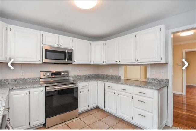
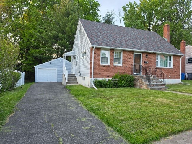
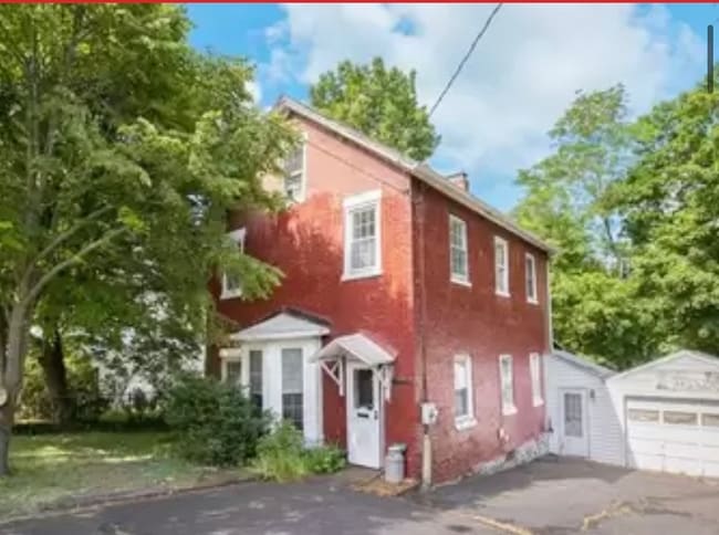
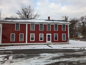
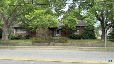
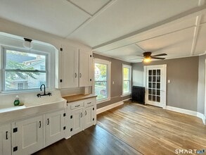
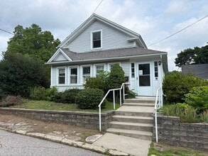
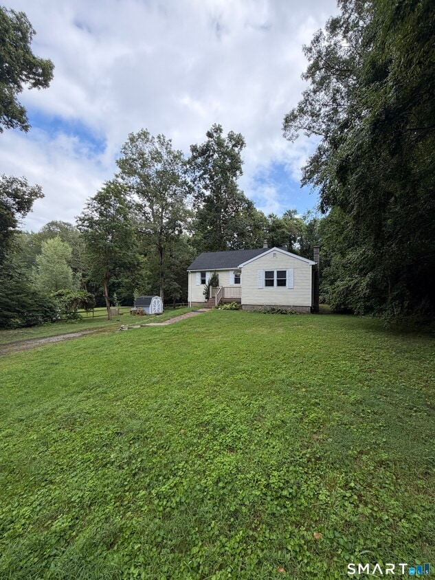
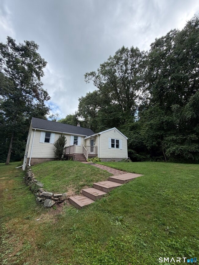
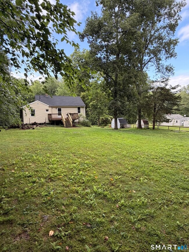
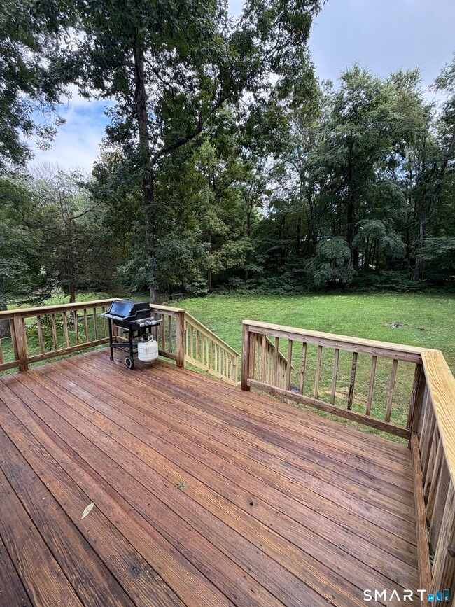
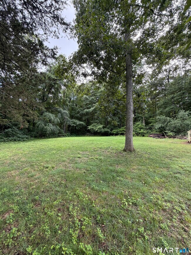
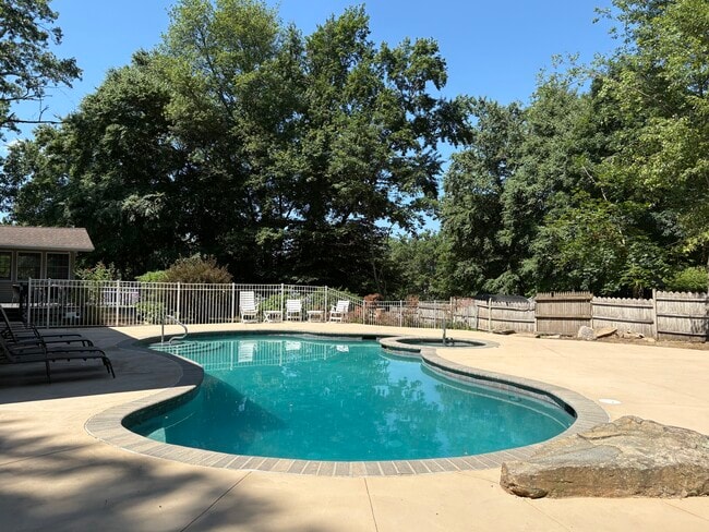
Call for Availability - Escape to the peace and quiet of country living in this charming 3-bedroom, full walkout basement home situated on a beautiful, level lot. This property offers the perfect blend of comfort and rural charm. Inside, you'll find a functional layout, the spacious yard provides endless possibilities for outdoor entertaining, recreation, or simply enjoying the serene surroundings. Whether you're looking for your first home, a peaceful retreat, or a place to make your own. MLS# 24195768

39 Gilead Rd is a house located in Tolland County and the 06232 ZIP Code. This area is served by the Regional School District 08 attendance zone.

* Price shown is total price based on community-supplied monthly required fees. Excludes user-selected optional fees and variable or usage-based fees and required charges due at or prior to move-in or at move-out. Price, availability, fees, and any applicable rent special are subject to change without notice.
* Square footage definitions vary. Displayed square footage is approximate.

Home Details

Year Built

Built in 1947

Attic

Attic or Crawl Hatchway Insulated

Basement

Walk-Out Basement Basement Fills Entire Space Under The House

Bedrooms and Bathrooms

1 Full Bathroom 3 Bedrooms

Home Design

Ranch Style House Vinyl Siding

Interior Spaces

952 Sq Ft Home

Kitchen

Oven or Range Dishwasher

Laundry

Dryer Washer

Listing and Financial Details

Assessor Parcel Number 1598968

Lot Details

20,038 Sq Ft Lot Property is zoned R-40

Utilities

Well Electric Water Heater Fuel Tank Located in Basement Heating System Uses Oil

Community Details

Pet Policy

Pets Allowed

Fees and Policies

The fees listed below are community-provided and may exclude utilities or add-ons. All payments are made directly to the property and are non-refundable unless otherwise specified.

  • Dogs
    • Allowed
  • Cats
    • Allowed

Property Fee Disclaimer: Based on community-supplied data and independent market research. Subject to change without notice. May exclude fees for mandatory or optional services and usage-based utilities.

Contact

  • Listed by Antonio Incontro | Countryside Realty
  • Phone Number
  • Contact
  • Source
    Smart MLS
The data relating to real estate for sale on this website appears in part through the SMARTMLS Internet Data Exchange program, a voluntary cooperative exchange of property listing data between licensed real estate brokerage firms, and is provided by SMARTMLS through a licensing agreement. Listing information is from various brokers who participate in the SMARTMLS IDX program and not all listings may be visible on the site. The property information being provided on or through the website is for the personal, non-commercial use of consumers and such information may not be used for any purpose other than to identify prospective properties consumers may be interested in purchasing. Some properties which appear for sale on the website may no longer be available because they are for instance, under contract, sold or are no longer being offered for sale. Property information displayed is deemed reliable but is not guaranteed. Copyright 2026 SmartMLS, Inc.
| Edit

Under 30 minutes

Commute Time is calculated at rush hour.
Neighborhood

Situated about 20 miles east of Downtown Hartford, the Andover/Coventry area offers a semi-rural setting with easy access to the city. Parks and green space surround Andover and Coventry, providing ample places for hiking and biking. Nathan Hale State Forest provides ample trails as well as the Nathan Hale Homestead Historic Site. This historic house museum was built in 1777 and is listed on the National Register of Historic Places. Nathan Hale was a spy for the Continental Army during the American Revolution.

Gay City State Park covers 1,500 acres and includes a swimming beach, hiking and biking trails, picnic areas, and the ruins of a historic mill town. Salmon River State Forest contains almost 6,000 acres and is a popular destination for fishing as well as hiking and bicycling. If all of that isn't enough, the Hop River State Park Trail extends more than 20 miles through Coventry, Andover, Vernon, Bolton, and Columbia.

Learn more about living in Andover/Coventry 
Education
Colleges & Universities Distance
Drive: 17 min 11.0 mi
Drive: 23 min 12.8 mi
Drive: 24 min 14.6 mi
Drive: 24 min 16.0 mi
39 Gilead Rd is within 23 minutes or 12.8 miles from Univ. of Connecticut, Depot. It is also near Eastern Connecticut and University of Connecticut.
Schools
Public Elementary School
Grades PK-5
196 Students
Attendance Zone
Public Middle School
Grades 6-8
369 Students
Attendance Zone
Public High School
Grades 9-12
819 Students
Attendance Zone
Private Elementary School
Grades PK-5
Nearby
Private Elementary, Middle & High School
Grades K-12
Nearby
Transportation

39 Gilead Rd is near Bradley International, located 35.3 miles or 57 minutes away.

Commuter Rail Distance
Drive: 29 min 20.9 mi
Drive: 29 min 21.2 mi
Drive: 36 min 24.5 mi
Drive: 40 min 29.6 mi
Drive: 43 min 31.4 mi
Airports Distance
Airports Distance
Bradley International
Drive: 57 min 35.3 mi
Getting Around
Not Walkable
Walkability
10 / 100
Minimal Public Transit
Transit
0 / 100
Exceptionally Drivable
Drivability
100 / 100
Somewhat Bikeable
Bikeability
20 / 100

Scores provided by

What do Walkability, Transit, Drivability, and Bikeability mean? Walkability measures the walking distance to day-to-day needs. Transit measures access to public transportation. Drivability measures congestion, parking availability, and access to major roads. Bikeability measures the suitability for cycling. How It Works
-
Soundscore
- / 100

Traffic

-

Airport

-

Businesses

-

Scores provided by

HowLoud What is a Sound Score Rating? A Sound Score Rating aggregates noise caused by vehicle traffic, airplane traffic and local sources. How It Works
Points of Interest

Time and distance from 39 Gilead Rd.

Shopping Centers Distance
Drive: 9 min 4.9 mi
Drive: 10 min 5.4 mi
Drive: 18 min 7.2 mi
39 Gilead Rd has 3 shopping centers within 7.2 miles, which is about a 18-minute drive. The miles and minutes will be for the farthest away property.
Parks and Recreation Distance
Gay City State Park
Drive: 9 min 4.8 mi
Wickware Planetarium
Drive: 15 min 10.3 mi
Belding Wildlife Management Area
Drive: 22 min 10.7 mi
Lutz Children's Museum
Drive: 19 min 12.8 mi
Connecticut State Museum of Natural History
Drive: 26 min 16.0 mi
39 Gilead Rd has 5 parks within 16.0 miles, including Gay City State Park, Wickware Planetarium, and Lutz Children's Museum.
Hospitals Distance
Hospitals Distance
Drive: 15 min 10.1 mi
Drive: 17 min 11.8 mi
Drive: 20 min 12.2 mi
39 Gilead Rd has 3 hospitals within 12.2 miles, the nearest is Windham Community Memorial Hospital which is 10.1 miles away and a 15 minute drive.
Military Bases Distance
Drive: 33 min 22.2 mi
Drive: 58 min 32.9 mi
Drive: 59 min 36.1 mi
39 Gilead Rd has 3 military bases within 36.1 miles, the nearest is Naval & Marine Reserve Center which is 22.2 miles away and a 33 minute drive.

You May Also Like

Similar Rentals Nearby