$1,900 / Month
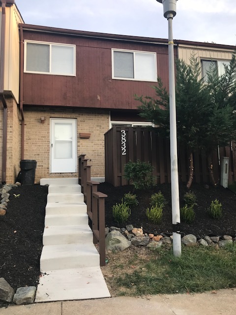
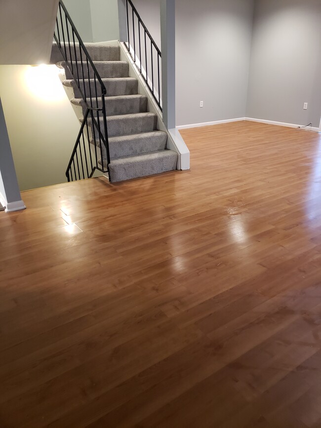
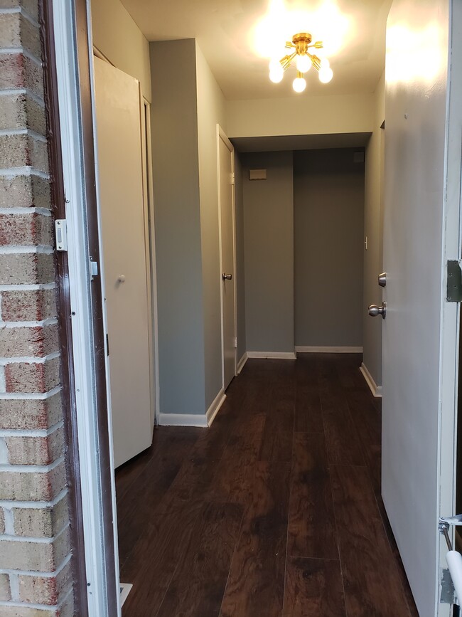
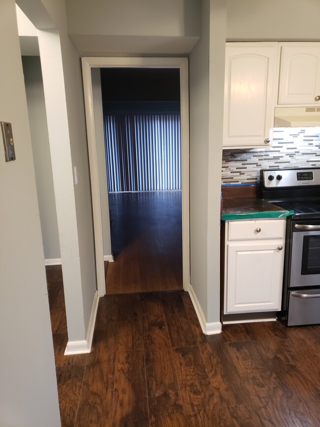
3832 Twin Lakes Ct
Windsor Mill, MD 21244
2 Weeks Ago
Favorites
3832 Twin Lakes Ct

Favorites
Check Back Soon for Upcoming Availability
| Beds | Baths | Average SF |
|---|---|---|
| 3 Bedrooms 3 Bedrooms 3 Br | 1.5 Baths 1.5 Baths 1.5 Ba | 1,720 SF |
Location
Get Directions
Milford Mill is a neighborhood stretching from Interstate 695 to Ridge Road, about 15 miles northwest of Baltimore. While the western section of town is made up of wooded areas and a sprawling golf course, the eastern section of town features tree-lined streets and residential areas. Renters will find moderately priced apartments, townhomes, and two-story homes available for rent. Modern amenities are conveniently located along Liberty Road within town. Just outside of the neighborhood, natural areas around the Patapsco River provide residents with outdoor recreation. Additional shopping can be found a few minutes from town off the interstate at Security Square Shopping Mall.
Learn more about living in Milford MillBelow are rent ranges for similar nearby apartments
| Beds | Average Size | Lowest | Typical | Premium |
|---|---|---|---|---|
| Studio Studio Studio | 443-477 Sq Ft | $1,005 | $1,471 | $1,912 |
| 1 Bed 1 Bed 1 Bed | 719-723 Sq Ft | $1,105 | $1,517 | $2,479 |
| 2 Beds 2 Beds 2 Beds | 995-998 Sq Ft | $1,240 | $1,840 | $3,014 |
| 3 Beds 3 Beds 3 Beds | 1137-1140 Sq Ft | $1,570 | $2,183 | $3,848 |
| 4 Beds 4 Beds 4 Beds | 2000 Sq Ft | $2,700 | $3,100 | $3,500 |
Education
| Colleges & Universities | Distance | ||
|---|---|---|---|
| Colleges & Universities | Distance | ||
| Drive: | 16 min | 7.4 mi | |
| Drive: | 19 min | 7.8 mi | |
| Drive: | 21 min | 8.0 mi | |
| Drive: | 25 min | 10.4 mi |
3832 Twin Lakes Ct is within 19 minutes or 7.8 miles from Stevenson Univ., Greenspring. It is also near Stevenson Univ., Owings Mills and Coppin State University.
Transportation options available in Windsor Mill include Old Court, located 1.7 miles from 3832 Twin Lakes Ct. 3832 Twin Lakes Ct is near Baltimore/Washington International Thurgood Marshall, located 15.6 miles or 27 minutes away.
| Transit / Subway | Distance | ||
|---|---|---|---|
| Transit / Subway | Distance | ||
| Drive: | 4 min | 1.7 mi | |
| Drive: | 10 min | 3.3 mi | |
| Drive: | 13 min | 5.0 mi | |
| Drive: | 14 min | 5.8 mi | |
| Drive: | 13 min | 7.3 mi |
| Commuter Rail | Distance | ||
|---|---|---|---|
| Commuter Rail | Distance | ||
|
|
Drive: | 26 min | 10.0 mi |
| Drive: | 19 min | 11.0 mi | |
|
|
Drive: | 19 min | 11.1 mi |
|
|
Drive: | 23 min | 11.3 mi |
|
|
Drive: | 26 min | 15.3 mi |
| Airports | Distance | ||
|---|---|---|---|
| Airports | Distance | ||
|
Baltimore/Washington International Thurgood Marshall
|
Drive: | 27 min | 15.6 mi |
Time and distance from 3832 Twin Lakes Ct.
| Shopping Centers | Distance | ||
|---|---|---|---|
| Shopping Centers | Distance | ||
| Drive: | 4 min | 1.2 mi | |
| Drive: | 4 min | 1.3 mi | |
| Drive: | 4 min | 1.3 mi |
3832 Twin Lakes Ct has 3 shopping centers within 1.3 miles, which is about a 4-minute drive. The miles and minutes will be for the farthest away property.
| Parks and Recreation | Distance | ||
|---|---|---|---|
| Parks and Recreation | Distance | ||
|
Carrie Murray Nature Center
|
Drive: | 16 min | 6.3 mi |
|
Gwynns Falls - Leakin Park
|
Drive: | 16 min | 6.3 mi |
|
Rodgers Farms
|
Drive: | 16 min | 7.1 mi |
|
Irvine Nature Center
|
Drive: | 17 min | 7.5 mi |
|
Gwynns Falls Trail
|
Drive: | 18 min | 8.7 mi |
3832 Twin Lakes Ct has 5 parks within 8.7 miles, including Carrie Murray Nature Center, Gwynns Falls - Leakin Park, and Gwynns Falls Trail.
| Hospitals | Distance | ||
|---|---|---|---|
| Hospitals | Distance | ||
| Drive: | 5 min | 1.9 mi | |
| Drive: | 13 min | 5.3 mi | |
| Drive: | 17 min | 7.3 mi |
3832 Twin Lakes Ct has 3 hospitals within 7.3 miles, the nearest is Northwest Hospital Center which is 1.9 miles away and a 5 minute drive.
| Military Bases | Distance | ||
|---|---|---|---|
| Military Bases | Distance | ||
| Drive: | 41 min | 23.6 mi |
3832 Twin Lakes Ct is 23.6 miles and a 41 minute drive from Fort George Meade.
You May Also Like
Similar Rentals Nearby


What Are Walk Score®, Transit Score®, and Bike Score® Ratings?
Walk Score® measures the walkability of any address. Transit Score® measures access to public transit. Bike Score® measures the bikeability of any address.
What is a Sound Score Rating?
A Sound Score Rating aggregates noise caused by vehicle traffic, airplane traffic and local sources

3832 Twin Lakes Ct
Windsor Mill, MD 21244