

$2,000 / Month

36420 Sierra Hwy

,

Palmdale, CA 93550

Share Listing
Favorites
661-349-4999
  • Bedrooms

    3

  • Bathrooms

    1

  • Square Feet

    957 sq ft

  • Available

    Available Now

36420 Sierra Hwy
Share Listing
Favorites

About This Home

Available Now

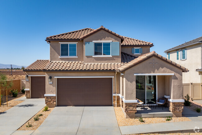
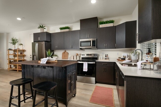
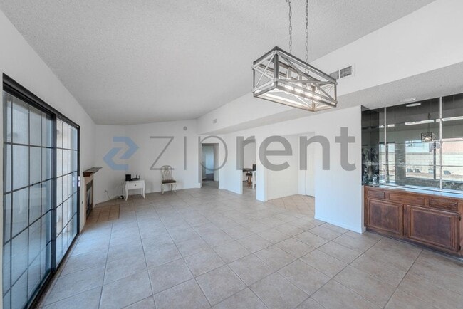
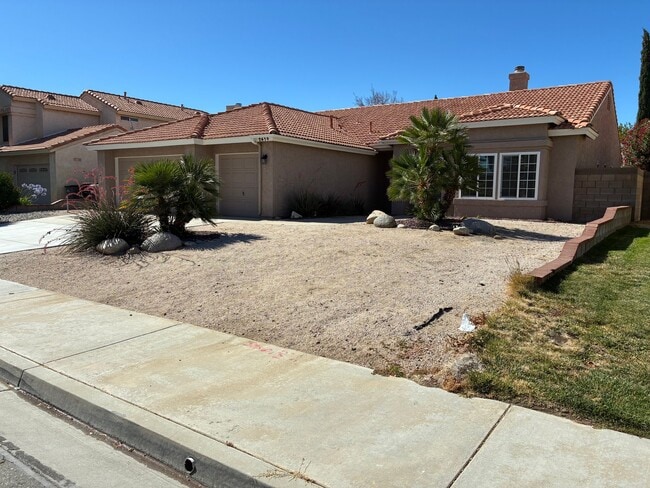
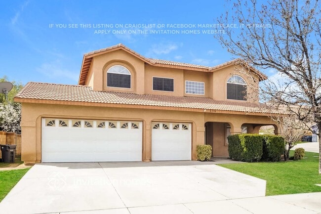
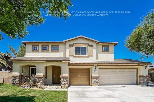
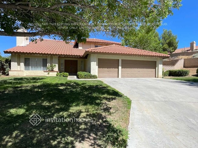
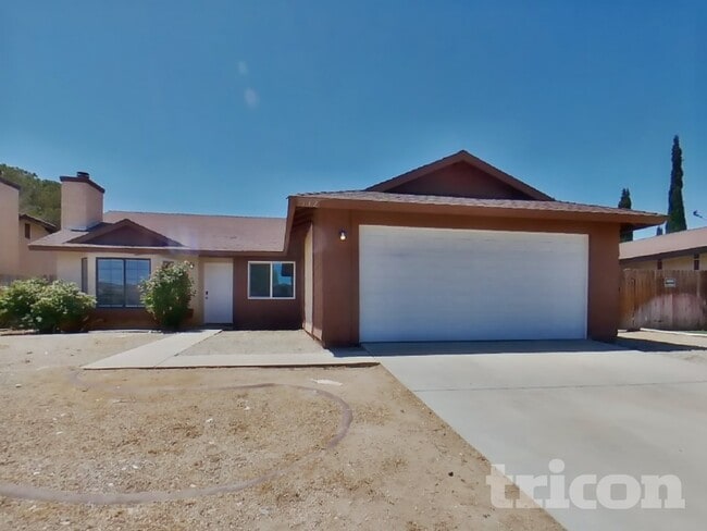
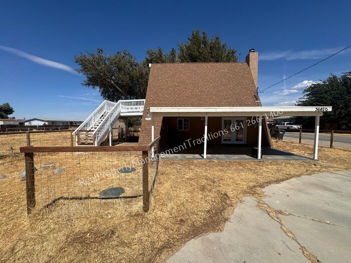
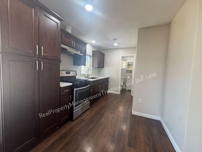
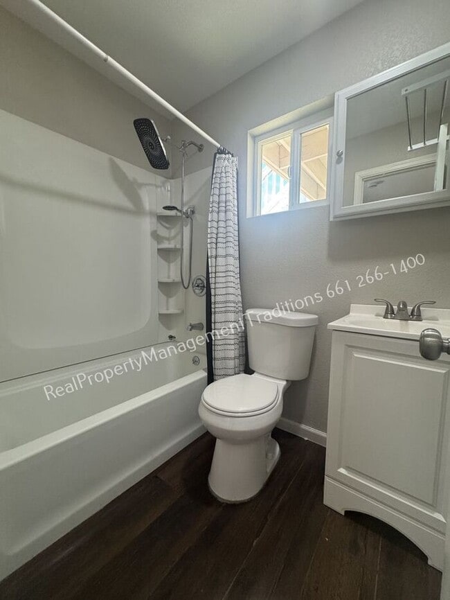
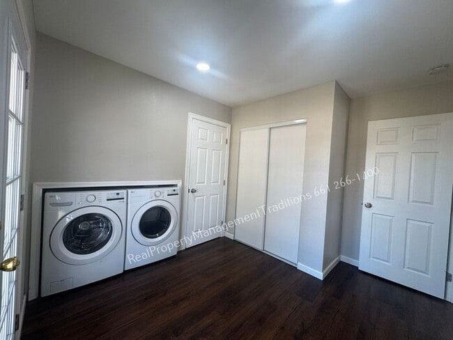
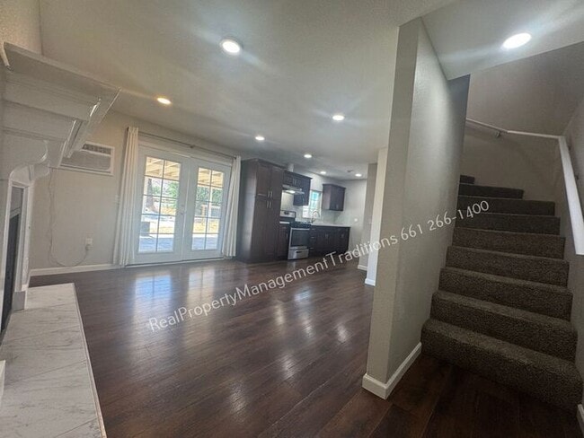
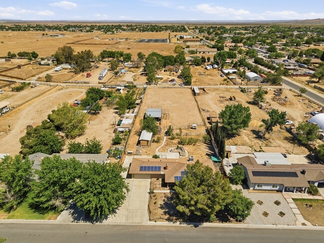
*** Please call us for information on availability, showings and applications processes. *** Cute A-frame home in Palmdale! This three-bedroom, one-bath residence features classic A-frame character and a wood-burning fireplace in the main living space. The primary bedroom opens to a private patio with a view, and a versatile flex room includes laundry hookups and extra storage. Outside, a large fenced yard provides outdoor space for gardening, play, or entertaining. Located in Palmdale, this home blends distinctive architecture with practical amenities for comfortable living. All utilities are the tenant's responsibility Pet Deposit Required, Breed Restrictions apply Technology Fee required on all leases Contact us to schedule a showing.

36420 Sierra Hwy is a house located in Los Angeles County and the 93550 ZIP Code. This area is served by the Palmdale Elementary School District attendance zone.

* Price shown is base rent. Excludes user-selected optional fees and variable or usage-based fees and required charges due at or prior to move-in or at move-out. Price, availability, fees, and any applicable rent special are subject to change without notice.
* Square footage definitions vary. Displayed square footage is approximate.

House Features

  • Storage Space
  • Patio

Contact

  • Listed by Real | Real Property Management Traditions (Palmdale, CA)
  • Phone Number
  • Contact
| Edit

Under 30 minutes

Commute Time is calculated at rush hour.
Neighborhood

The Antelope Valley region sits in the northernmost stretches of Los Angeles County. Antelope Valley also constitutes the western portion of the Mojave Desert, located between the Tehachapi, Sierra Pelona, and San Gabriel Mountains, which all lend stunning mountain vistas to the rentals in the region.

Antelope Valley’s largest cities include Lancaster and Palmdale, in addition to a slew of smaller cities and towns that each boast their own unique identity and sense of character. The region’s more affordable cost of living draws plenty of Los Angeles area commuters who don’t mind a longer commute time.

The rental options are just as diverse as the region itself, with an array of apartments, condos, townhomes, and houses available for rent throughout Antelope Valley. Popular spots for outdoor recreation include Angeles National Forest and Castaic Lake State Recreation Area, as well as Greater Los Angeles’ renowned beaches, which are about a two-hour drive away.

Learn more about living in Antelope Valley 
Amenities
  • Storage Space
  • Patio
Education
Colleges & Universities Distance
Drive: 19 min 13.0 mi
Drive: 45 min 39.0 mi
Drive: 67 min 41.2 mi
Drive: 54 min 46.4 mi
36420 Sierra Hwy is within 19 minutes or 13.0 miles from Antelope Valley College. It is also near Mission College and Art Center College of Design.
Schools
Public Elementary School
Grades K-5
952 Students
Nearby
Public Elementary School
Grades K-5
588 Students
Attendance Zone
Grades 6-8
747 Students
Attendance Zone
Public High School
Grades 9-12
2,208 Students
Attendance Zone
Private Elementary School
Grades PK-5
Nearby
Private Elementary, Middle & High School
Grades K-12
Nearby
Transportation

36420 Sierra Hwy is near Bob Hope, located 46.0 miles or 54 minutes away.

Commuter Rail Distance
Drive: 6 min 3.5 mi
Vincent Grade/Acton Metrolink Station
Drive: 6 min 4.0 mi
Drive: 17 min 10.8 mi
Drive: 32 min 27.4 mi
Drive: 34 min 28.3 mi
Airports Distance
Airports Distance
Bob Hope
Drive: 54 min 46.0 mi
Getting Around
Not Walkable
Walkability
10 / 100
Minimal Public Transit
Transit
0 / 100
Exceptionally Drivable
Drivability
100 / 100
Somewhat Bikeable
Bikeability
20 / 100

Scores provided by

What do Walkability, Transit, Drivability, and Bikeability mean? Walkability measures the walking distance to day-to-day needs. Transit measures access to public transportation. Drivability measures congestion, parking availability, and access to major roads. Bikeability measures the suitability for cycling. How It Works
Active
Soundscore
72 / 100

Traffic

Busy

Airport

Calm

Businesses

Calm

Scores provided by

HowLoud What is a Sound Score Rating? A Sound Score Rating aggregates noise caused by vehicle traffic, airplane traffic and local sources. How It Works
Points of Interest

Time and distance from 36420 Sierra Hwy.

Shopping Centers Distance
Drive: 5 min 2.8 mi
Drive: 5 min 3.0 mi
Drive: 5 min 3.4 mi
36420 Sierra Hwy has 3 shopping centers within 3.4 miles, which is about a 5-minute drive. The miles and minutes will be for the farthest away property.
Hospitals Distance
Hospitals Distance
Drive: 6 min 4.3 mi
36420 Sierra Hwy is 4.3 miles and a 6 minute drive from Palmdale Regional Medical Center.
Military Bases Distance
Drive: 52 min 26.6 mi
Drive: 53 min 41.5 mi
Drive: 160 min 60.9 mi
36420 Sierra Hwy has 3 military bases within 60.9 miles, the nearest is Edwards Air Force Base North Antelope Valley which is 26.6 miles away and a 52 minute drive.

You May Also Like

Similar Rentals Nearby