Apartments for Rent in Bellevue KY - 45 Rentals


Find the Perfect Bellevue, KY Apartment
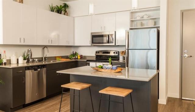
Bellevue, KY Apartments for Rent
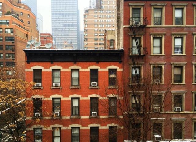
Bellevue is a vibrant walkable city situated between Newport and Dayton along the Ohio River in northern Kentucky. This charming locale stretches from the southern shores of the Ohio River to State Route 1120. Long-standing homes and more modern apartment rentals near the water give Bellevue a diverse and eclectic atmosphere.
Locals gather along Taylor Avenue and Fairfield Avenue for a diverse selection of restaurants, breweries, bars, and boutiques. Bellevue’s location across the water from Cincinnati means it’s easy to head into a bustling metropolis in just minutes. Interstate 471 and 71 make any commute easy, whether it’s for work or leisure.
Bellevue, KY Rental Insights
Average Rent Rates
What is the average rent in Bellevue, KY?
The average rent in Bellevue is $1,366. When you rent an apartment in Bellevue, you can expect to pay as little as $1,067 or as much as $1,743, depending on the location and the size of the apartment.
What is the average rent of a Studio apartment in Bellevue, KY?
The average rent for a studio apartment in Bellevue, KY is $1,067 per month.
What is the average rent of a 1 bedroom apartment in Bellevue, KY?
The average rent for a one bedroom apartment in Bellevue, KY is $1,366 per month.
What is the average rent of a 2 bedroom apartment in Bellevue, KY?
The average rent for a two bedroom apartment in Bellevue, KY is $1,743 per month.
Education
What colleges and universities are in Bellevue, KY?
If you’re a student moving to an apartment in Bellevue, you’ll have access to University of Cincinnati, Univ. of Cincinnati, Medical, and Xavier University.
Helpful Rental Guides for Bellevue, KY


Search Nearby Rentals
Rentals Near Bellevue
Neighborhood Apartment Rentals
- Downtown Cincinnati Apartments for Rent
- East Cincinnati Apartments for Rent
- North Hamilton Apartments for Rent
- Northern Kentucky Apartments for Rent
- Northwest Cincinnati Apartments for Rent
- Riverpointe Condominiums Apartments for Rent
- Mount Adams Apartments for Rent
- Rookwood Hills Apartments for Rent
- Glenn Park Apartments for Rent
- East Walnut HIlls Apartments for Rent