


2 Beds
$6,226+
3 Beds
$4,730+
Total Monthly Price
Total Monthly Price
New
Prices include base rent and required monthly fees of $131. Variable costs based on usage may apply.
Base Rent:
2 Beds
$6,095+
3 Beds
$4,599+
3 Months Free
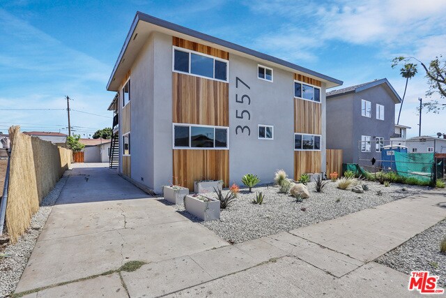
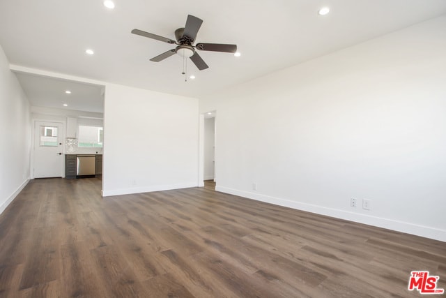
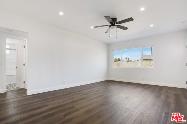
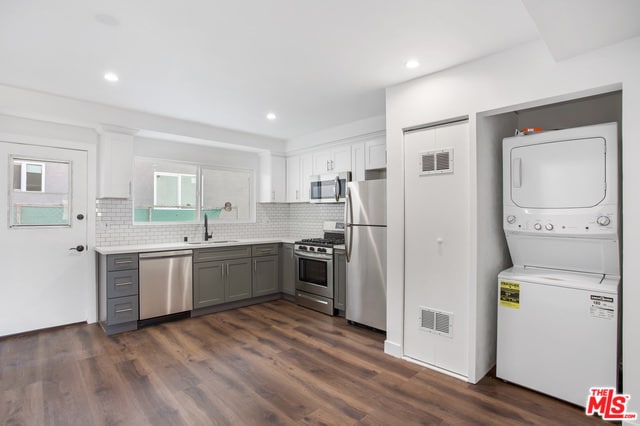
Pets Allowed Fitness Center Dishwasher Kitchen In Unit Washer & Dryer Walk-In Closets


