
$2,395
Total Monthly Price
12 Month Lease
3490 Cloman Way
Inver Grove Heights, MN 55076
Favorites
-
Bedrooms
3
-
Bathrooms
1
-
Square Feet
1,500 sq ft
-
Available
Available Jul 1
Highlight
- Patio
3490 Cloman Way

Favorites
About This Home
12 Month Lease,
$2,395 deposit,
Available Jul 1
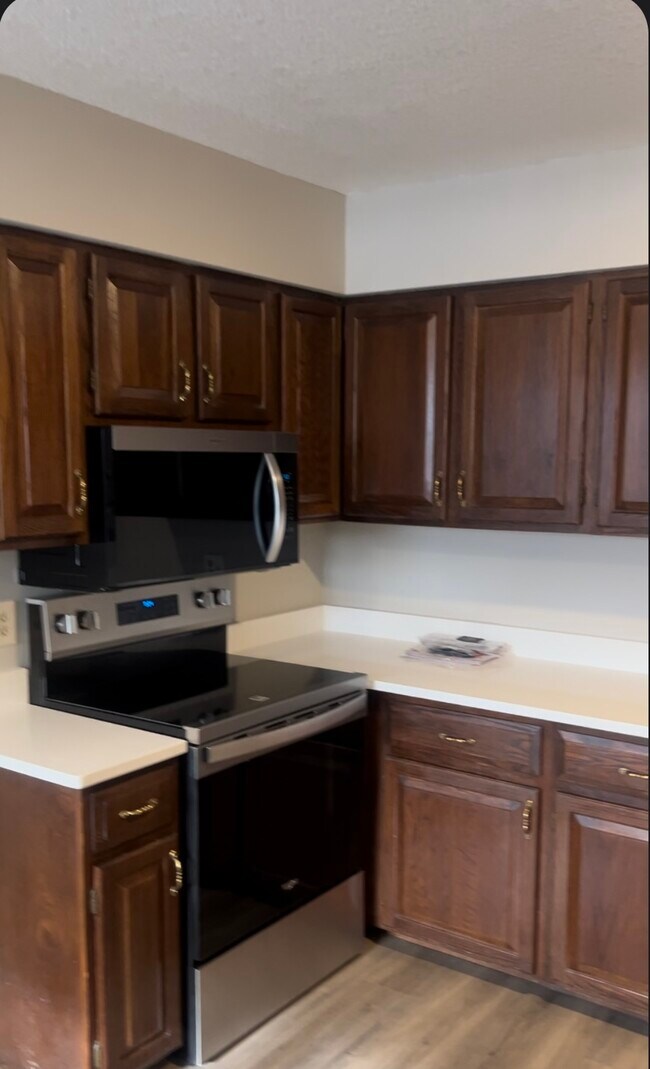
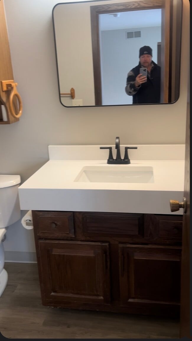
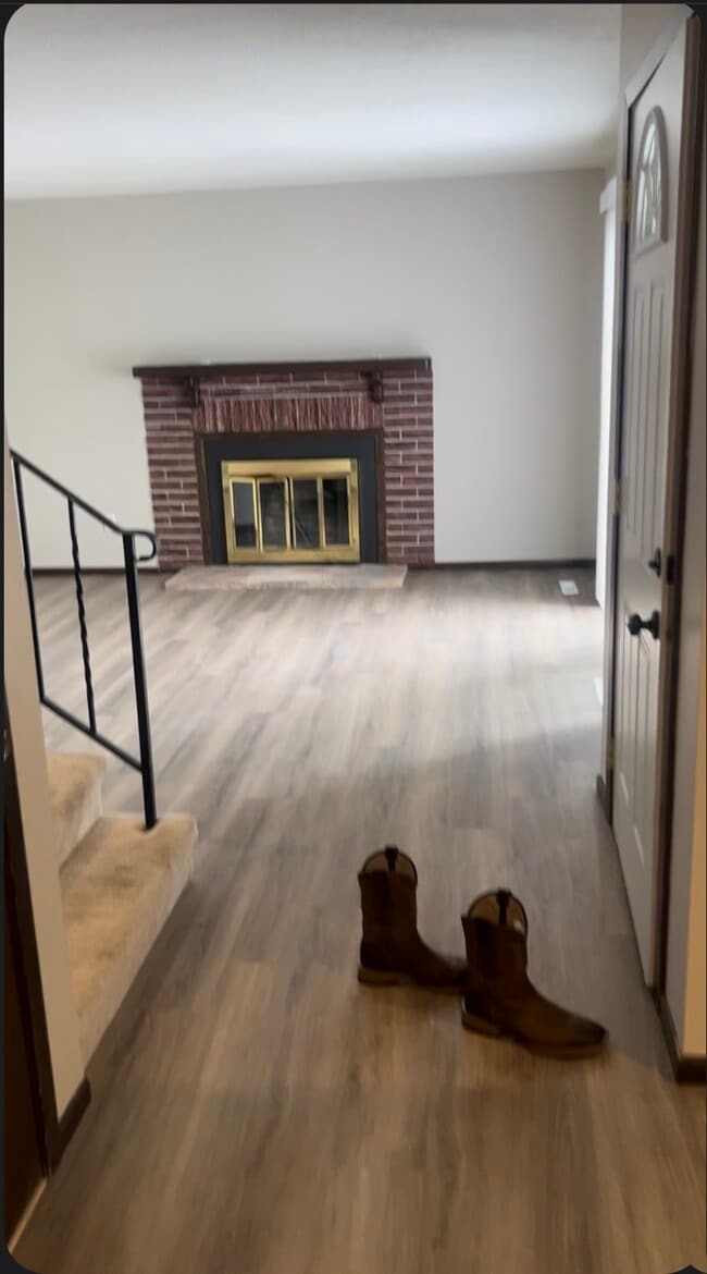
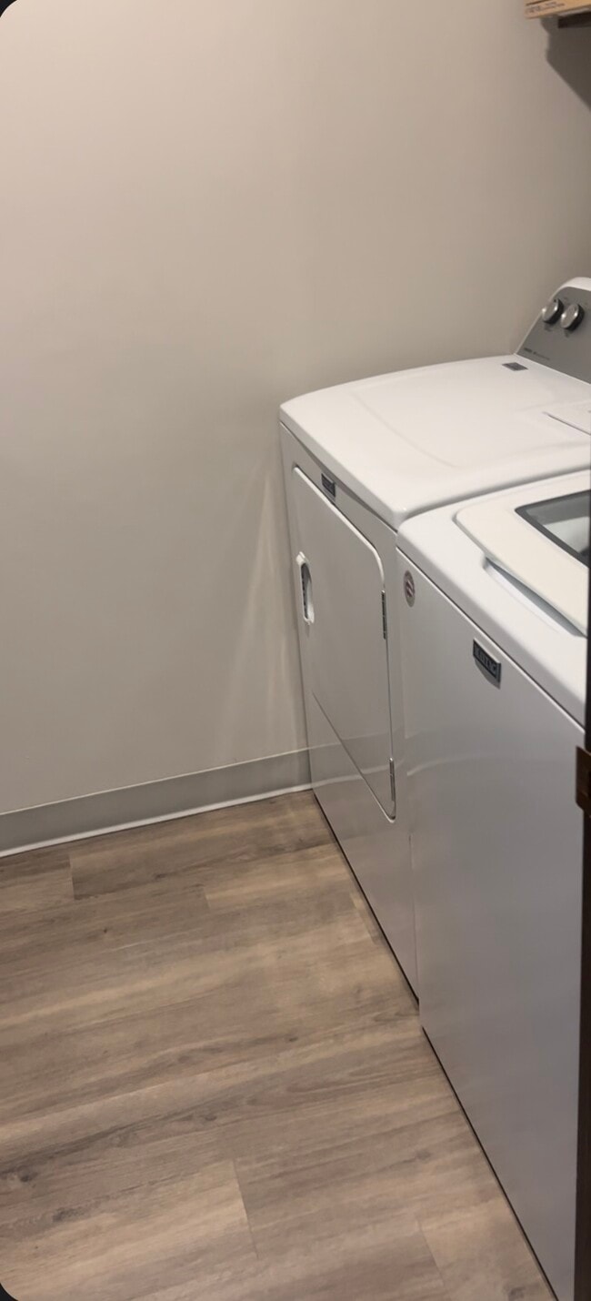
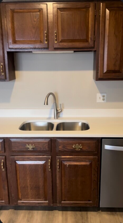
Updated townhome with 2 car garage and fenced area for pets and patio. New Paint, New Counter Tops, New Appliances, New Flooring.
3490 Cloman Way is a townhome located in Dakota County and the 55076 ZIP Code.
* Price shown is total price based on community-supplied monthly required fees. Excludes user-selected optional fees and variable or usage-based fees and required charges due at or prior to move-in or at move-out. Price, availability, fees, and any applicable rent special are subject to change without notice.
* Square footage definitions vary. Displayed square footage is approximate.
Townhome Features
- Washer/Dryer
- Tub/Shower
- Patio
Fees and Policies
The fees listed below are community-provided and may exclude utilities or add-ons. All payments are made directly to the property and are non-refundable unless otherwise specified.
- Parking
-
Garage--
Details
Utilities Included
-
Trash Removal
Contact
- Contact
Location
Get Directions
Just off the eastern bank of the Mississippi River, Inver Grove Heights, Minnesota has all the natural beauty expected from the state known for its grassy rolling plains. South of the Twin Cities, Inver Grove Heights is a suburb of Saint Paul. This residential city provides easy access to the surrounding areas thanks to the highway that runs through the city, Highway 52.
Residents of this quiet town enjoy several events and volunteer opportunities that keeps people of Inver Grove Heights connected. There are also many local parks and a community center that provides the community with a variety of recreation opportunities and programs. The new development within the area makes Inver Grove a city with a pleasant mix of both old and new.
Learn more about living in Inver Grove Heights
Education
| Colleges & Universities | Distance | ||
|---|---|---|---|
| Colleges & Universities | Distance | ||
| Drive: | 8 min | 3.0 mi | |
| Drive: | 15 min | 8.1 mi | |
| Drive: | 16 min | 10.2 mi | |
| Drive: | 18 min | 10.7 mi |
3490 Cloman Way is within 8 minutes or 3.0 miles from Inver Hills Community College. It is also near Argosy University, Twin Cities and Saint Paul College.
Transportation options available in Inver Grove Heights include Central Station, located 9.5 miles from 3490 Cloman Way. 3490 Cloman Way is near Minneapolis-St Paul International/Wold-Chamberlain, located 12.4 miles or 22 minutes away.
| Transit / Subway | Distance | ||
|---|---|---|---|
| Transit / Subway | Distance | ||
| Drive: | 15 min | 9.5 mi | |
| Drive: | 15 min | 9.5 mi | |
| Drive: | 16 min | 9.7 mi | |
| Drive: | 16 min | 9.9 mi | |
| Drive: | 16 min | 10.1 mi |
| Commuter Rail | Distance | ||
|---|---|---|---|
| Commuter Rail | Distance | ||
|
|
Drive: | 16 min | 9.7 mi |
|
|
Drive: | 34 min | 20.4 mi |
|
|
Drive: | 36 min | 26.2 mi |
|
|
Drive: | 46 min | 34.4 mi |
|
|
Drive: | 48 min | 36.0 mi |
| Airports | Distance | ||
|---|---|---|---|
| Airports | Distance | ||
|
Minneapolis-St Paul International/Wold-Chamberlain
|
Drive: | 22 min | 12.4 mi |
Getting Around
 What do Walkability, Transit, Drivability, and Bikeability mean?
Walkability measures the walking distance to day-to-day needs.
Transit measures access to public transportation.
Drivability measures congestion, parking availability, and access to major roads.
Bikeability measures the suitability for cycling.
How It Works
What do Walkability, Transit, Drivability, and Bikeability mean?
Walkability measures the walking distance to day-to-day needs.
Transit measures access to public transportation.
Drivability measures congestion, parking availability, and access to major roads.
Bikeability measures the suitability for cycling.
How It Works
Somewhat Walkable
Walkability
30
/ 100
Limited Public Transit
Transit
30
/ 100
Exceptionally Drivable
Drivability
100
/ 100
Moderately Bikeable
Bikeability
60
/ 100
Scores provided by
-
Soundscore™
-
/ 100
Traffic
-Airport
-Businesses
-Scores provided by
HowLoud What is a Sound Score Rating? A Sound Score Rating aggregates noise caused by vehicle traffic, airplane traffic and local sources. How It WorksTime and distance from 3490 Cloman Way.
| Shopping Centers | Distance | ||
|---|---|---|---|
| Shopping Centers | Distance | ||
| Walk: | 13 min | 0.7 mi | |
| Walk: | 16 min | 0.9 mi | |
| Drive: | 4 min | 1.5 mi |
3490 Cloman Way has 3 shopping centers within 1.5 miles, which is about a 4-minute drive. The miles and minutes will be for the farthest away property.
| Parks and Recreation | Distance | ||
|---|---|---|---|
| Parks and Recreation | Distance | ||
|
Dodge Nature Center
|
Drive: | 12 min | 6.0 mi |
|
Kellogg Mall Park
|
Drive: | 15 min | 9.4 mi |
|
Cherokee Regional Park
|
Drive: | 18 min | 9.6 mi |
|
Indian Mounds Park
|
Drive: | 16 min | 10.0 mi |
|
Science Museum of Minnesota
|
Drive: | 16 min | 10.4 mi |
3490 Cloman Way has 5 parks within 10.4 miles, including Dodge Nature Center, Kellogg Mall Park, and Cherokee Regional Park.
| Hospitals | Distance | ||
|---|---|---|---|
| Hospitals | Distance | ||
| Drive: | 13 min | 7.3 mi | |
| Drive: | 16 min | 10.0 mi | |
| Drive: | 16 min | 10.4 mi |
3490 Cloman Way has 3 hospitals within 10.4 miles, the nearest is M Health Fairview Woodwinds Hospital which is 7.3 miles away and a 13 minute drive.
| Military Bases | Distance | ||
|---|---|---|---|
| Military Bases | Distance | ||
| Drive: | 20 min | 11.2 mi |
3490 Cloman Way is 11.2 miles and a 20 minute drive from Fort Snelling Military Reservation.
Amenities
- Washer/Dryer
- Tub/Shower
- Patio
3490 Cloman Way Photos
What Are Walk Score®, Transit Score®, and Bike Score® Ratings?
Walk Score® measures the walkability of any address. Transit Score® measures access to public transit. Bike Score® measures the bikeability of any address.
What is a Sound Score Rating?
A Sound Score Rating aggregates noise caused by vehicle traffic, airplane traffic and local sources.
3490 Cloman Way
Inver Grove Heights, MN 55076