
Vasara
110 Constitution Dr,
Menlo Park, CA 94025
Studio - 3 Beds $3,255 - $6,814
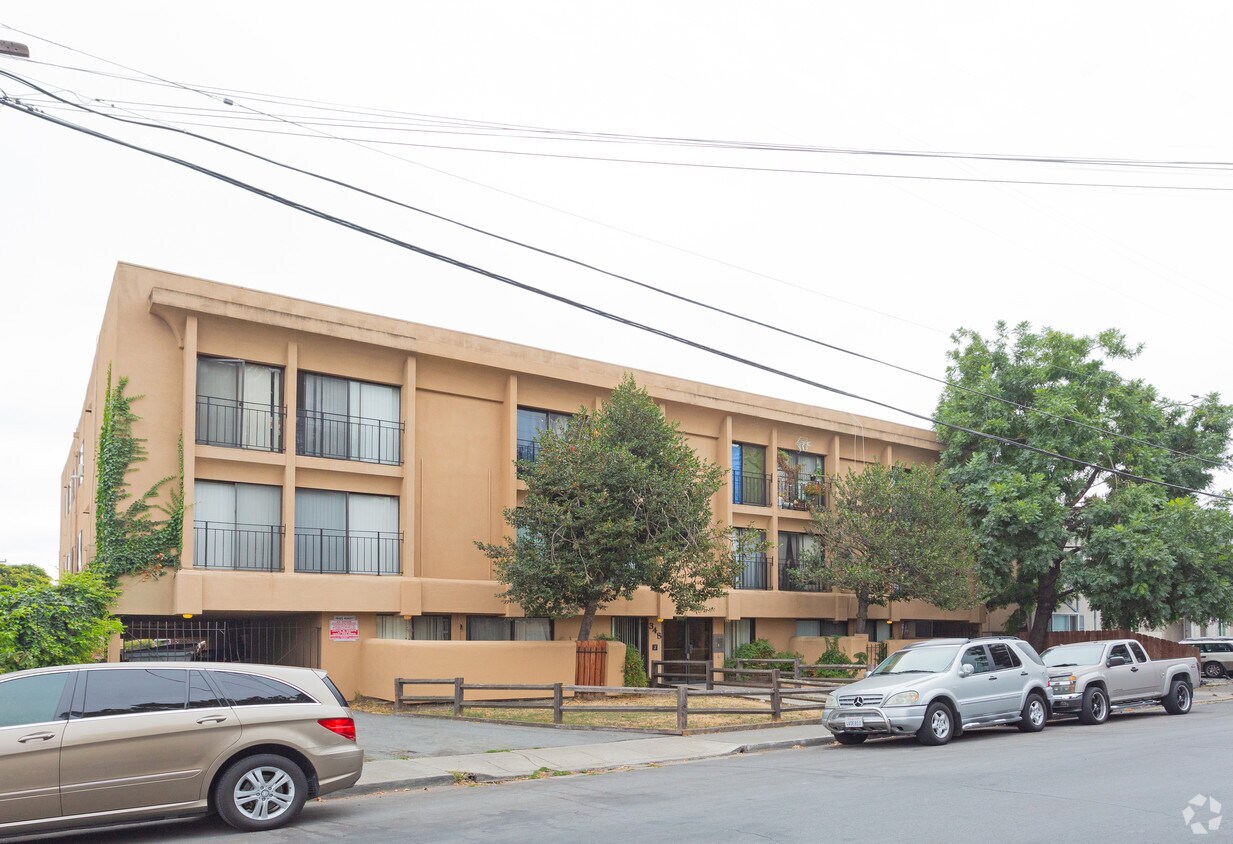
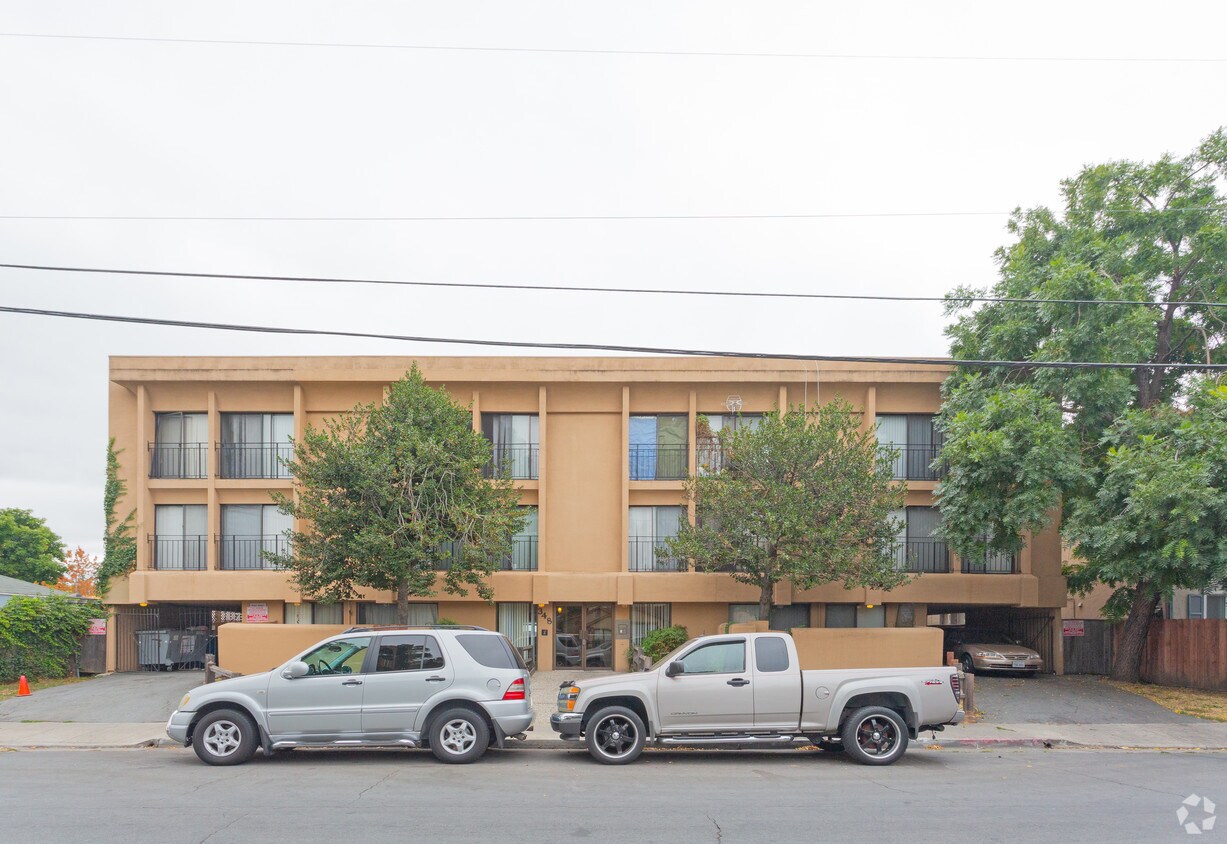
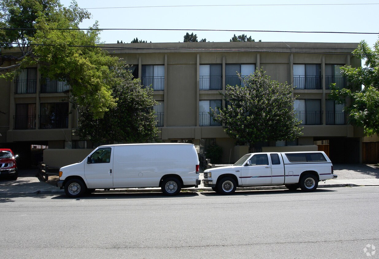
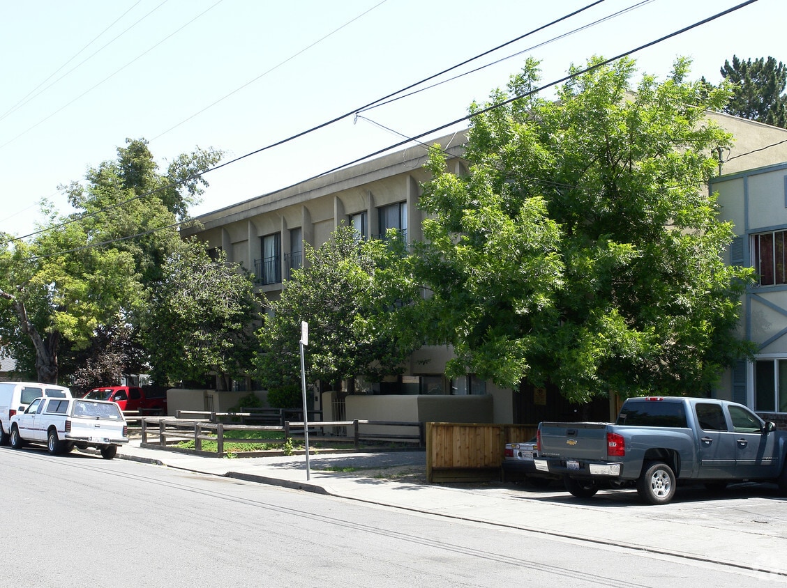
348 4th Ave is ready for your visit. This community can be found at 348 4th Ave in Redwood City. From availability to location, the leasing team will assist you in finding the perfect floorplan option. Come by to see the available floorplan options. Visit 348 4th Ave today.
348 4th Ave is an apartment community located in San Mateo County and the 94063 ZIP Code. This area is served by the Redwood City Elementary attendance zone.
Refrigerator
Heating
Carpet
Kitchen
The Fair Oaks neighborhood provides a pleasant mix of residential homes and apartments for rent and features several commercial enterprises. Inside the neighborhood, bus stops dot the streets, making it easy to get downtown or to local hotspots. Atherton Station offers train service to other parts of California for residents who want to get away for a weekend.
In the mornings, locals stop by the Donut Depot for their morning fix of donuts and donut holes. When locals want something with a kick, they head to Taqueria Apatzingan for authentic Mexican food. Chile Colorado, chicken enchiladas, and nachos are just a few of the popular dishes that fly out of the kitchen.
Learn more about living in Fair Oaks| Colleges & Universities | Distance | ||
|---|---|---|---|
| Colleges & Universities | Distance | ||
| Drive: | 5 min | 1.9 mi | |
| Drive: | 13 min | 5.1 mi | |
| Drive: | 14 min | 5.4 mi | |
| Drive: | 16 min | 9.1 mi |


Transportation options available in Redwood City include Bayshore Nasa Station, located 11.4 miles from 348 4th Ave. 348 4th Ave is near San Francisco International, located 16.3 miles or 24 minutes away, and Norman Y Mineta San Jose International, located 18.9 miles or 26 minutes away.
| Transit / Subway | Distance | ||
|---|---|---|---|
| Transit / Subway | Distance | ||
| Drive: | 16 min | 11.4 mi | |
|
|
Drive: | 17 min | 11.5 mi |
| Drive: | 17 min | 11.8 mi | |
|
|
Drive: | 17 min | 11.8 mi |
|
|
Drive: | 18 min | 12.0 mi |
| Commuter Rail | Distance | ||
|---|---|---|---|
| Commuter Rail | Distance | ||
| Drive: | 4 min | 1.8 mi | |
| Drive: | 6 min | 2.4 mi | |
| Drive: | 9 min | 3.5 mi | |
| Drive: | 10 min | 4.2 mi | |
| Drive: | 13 min | 5.3 mi |
| Airports | Distance | ||
|---|---|---|---|
| Airports | Distance | ||
|
San Francisco International
|
Drive: | 24 min | 16.3 mi |
|
Norman Y Mineta San Jose International
|
Drive: | 26 min | 18.9 mi |
Time and distance from 348 4th Ave.
| Shopping Centers | Distance | ||
|---|---|---|---|
| Shopping Centers | Distance | ||
| Walk: | 14 min | 0.8 mi | |
| Walk: | 19 min | 1.0 mi | |
| Drive: | 4 min | 1.3 mi |
| Parks and Recreation | Distance | ||
|---|---|---|---|
| Parks and Recreation | Distance | ||
|
Holbrook-Palmer Park
|
Drive: | 4 min | 1.5 mi |
|
Fremont Park
|
Drive: | 7 min | 2.7 mi |
|
Red Morton Park
|
Drive: | 8 min | 2.8 mi |
|
Burgess Park
|
Drive: | 8 min | 2.9 mi |
|
Jack W. Lyle Park
|
Drive: | 8 min | 3.1 mi |
| Hospitals | Distance | ||
|---|---|---|---|
| Hospitals | Distance | ||
| Drive: | 5 min | 1.9 mi | |
| Drive: | 9 min | 3.3 mi | |
| Drive: | 10 min | 4.1 mi |
| Military Bases | Distance | ||
|---|---|---|---|
| Military Bases | Distance | ||
| Drive: | 20 min | 11.8 mi |
What Are Walk Score®, Transit Score®, and Bike Score® Ratings?
Walk Score® measures the walkability of any address. Transit Score® measures access to public transit. Bike Score® measures the bikeability of any address.
What is a Sound Score Rating?
A Sound Score Rating aggregates noise caused by vehicle traffic, airplane traffic and local sources


