$1,550
/ Month
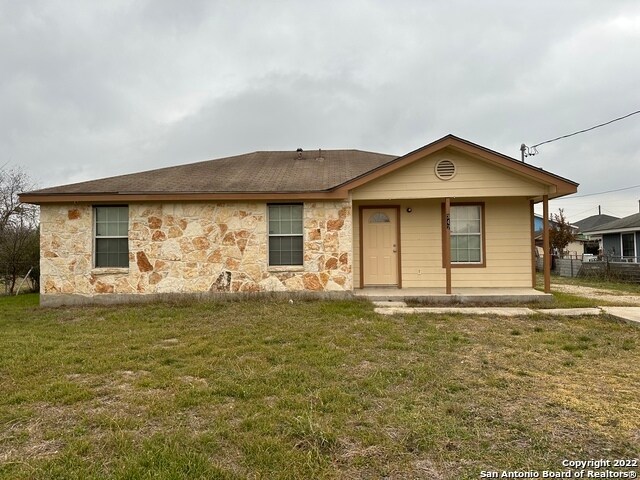
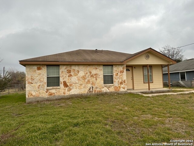
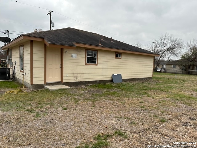
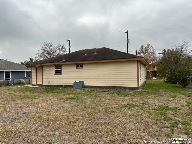
347 Amires Pl
San Antonio, TX 78237
Favorites
347 Amires Pl

Favorites
Check Back Soon for Upcoming Availability
| Beds | Baths | Average SF |
|---|---|---|
| 3 Bedrooms 3 Bedrooms 3 Br | 2 Baths 2 Baths 2 Ba | 1,115 SF |
347 Amires Pl,
San Antonio,
TX
78237
Memorial Heights is a small neighborhood with ranch style houses, cozy townhomes, and apartments. This community is great for students with Saint Mary’s University within walking distance. There are several green spaces for locals to enjoy as well. Rosendale Park hosts sporting events for children and special events throughout the year.
For shopping and dining, residents of Memorial Heights don’t have to go far. There are restaurants along Culebra Road and Commerce Street. Devour traditional Mexican recipes at Tacos Martinez or slurp spaghetti at La Sorrentina Italian Restaurant. The area is extremely affordable and in a great location with downtown only 20 minutes away.
Learn more about living in Memorial HeightsBelow are rent ranges for similar nearby apartments
Education
| Colleges & Universities | Distance | ||
|---|---|---|---|
| Colleges & Universities | Distance | ||
| Drive: | 5 min | 2.0 mi | |
| Drive: | 6 min | 2.8 mi | |
| Drive: | 13 min | 6.0 mi | |
| Drive: | 13 min | 6.7 mi |
347 Amires Pl is within 5 minutes or 2.0 miles from St. Mary's University. It is also near Our Lady of the Lake Univ. and St. Philip's College, SWC.
Schools


Public Elementary School
Grades PK-5
586 Students
Attendance Zone
Public Middle School
Grades 6-8
505 Students
Attendance Zone
Public High School
Grades 9-12
872 Students
Attendance Zone
Private Elementary & Middle School
Grades PK-8
306 Students
Nearby
Private Middle & High School
Grades 6-12
414 Students
Nearby
School data provided by
 The GreatSchools Rating helps parents compare schools within a state based on a variety of school quality indicators and provides a helpful picture of how effectively each school serves all of its students. Ratings are on a scale of 1 (below average) to 10 (above average) and can include test scores, college readiness, academic progress, advanced courses, equity, discipline and attendance data. We also advise parents to visit schools, consider other information on school performance and programs, and consider family needs as part of the school selection process.
View GreatSchools Rating Methodology
Data provided by GreatSchools.org © 2026. All rights reserved.
View GreatSchools Rating Methodology
Data provided by GreatSchools.org © 2026. All rights reserved.
Walkability Near 347 Amires Pl San Antonio, TX 78237
Getting Around
 What do Walkability, Transit, Drivability, and Bikeability mean?
Walkability measures the walking distance to day-to-day needs.
Transit measures access to public transportation.
Drivability measures congestion, parking availability, and access to major roads.
Bikeability measures the suitability for cycling.
How It Works
What do Walkability, Transit, Drivability, and Bikeability mean?
Walkability measures the walking distance to day-to-day needs.
Transit measures access to public transportation.
Drivability measures congestion, parking availability, and access to major roads.
Bikeability measures the suitability for cycling.
How It Works
Fairly Walkable
Walkability
40
/ 100
Limited Public Transit
Transit
20
/ 100
Very Drivable
Drivability
80
/ 100
Fairly Bikeable
Bikeability
50
/ 100
Scores provided by
-
Soundscore™
-
/ 100
Traffic
-Airport
-Businesses
-Scores provided by
HowLoud What is a Sound Score Rating? A Sound Score Rating aggregates noise caused by vehicle traffic, airplane traffic and local sources. How It WorksYou May Also Like
-
The Arbor at Riverstone Rental Homes
5512 Trinity Run
San Antonio, TX 78253
$2,035 - $2,535 Total Monthly Price
3-4 Br 12 Month Lease 12.5 mi
-
Tricon Trails at Culebra
14303 Palm Rdg
San Antonio, TX 78253
$1,729 - $2,755
3-4 Br 13.1 mi
-
Alamar
4003 Alamar Rdg
San Antonio, TX 78259
$2,295 - $2,745
3-4 Br 15.7 mi
Similar Rentals Nearby
-
-
-
-
-
-
1 / 41
 3 Beds$2,448+4 Beds$2,799+Total Monthly PriceTotal Monthly Price NewPrices include base rent and required monthly fees of $249. Variable costs based on usage may apply.Base Rent:3 Beds$2,100+4 Beds$2,550+2 Months Free
Pets Allowed Pool Dishwasher Kitchen Clubhouse Maintenance on site CableReady
-
3 Beds$2,253+4 Beds$2,873Total Monthly PriceTotal Monthly Price NewPrices include base rent and required monthly fees of $119. Variable costs based on usage may apply.Base Rent:3 Beds$2,133+4 Beds$2,7531 Month Free
-
-
-


What Are Walk Score®, Transit Score®, and Bike Score® Ratings?
Walk Score® measures the walkability of any address. Transit Score® measures access to public transit. Bike Score® measures the bikeability of any address.
What is a Sound Score Rating?
A Sound Score Rating aggregates noise caused by vehicle traffic, airplane traffic and local sources.

347 Amires Pl
San Antonio, TX 78237