
The Journal
36 Journal Sq,
Jersey City, NJ 07306
$2,945 - $7,450
Studio - 3 Beds

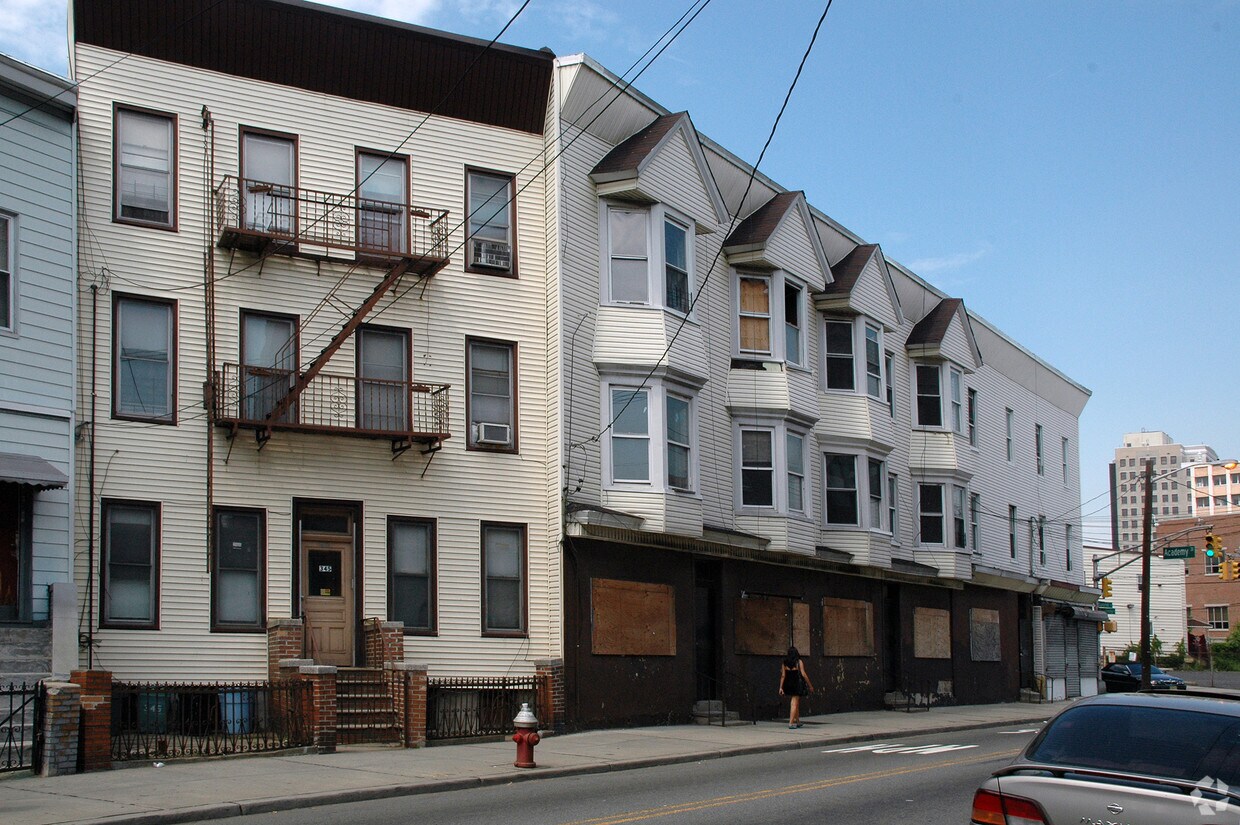

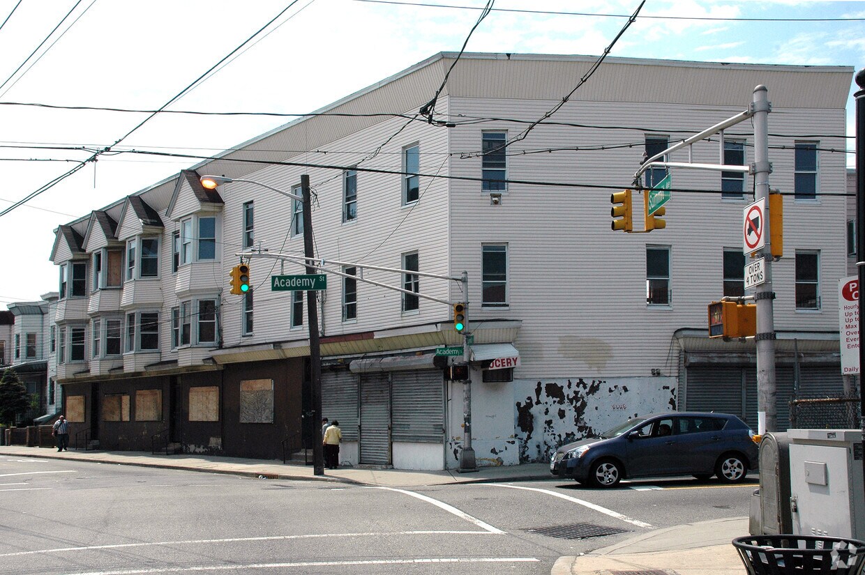
At 347-353 Summit Ave in Jersey City, NJ, experience great living. The 347-353 Summit Ave location in Jersey City's 07306 Zip code has much to offer its residents. Here at this community, the professional leasing team is ready to help you find the perfect new place. Be sure to come for a visit to see the current floorplan options. It's all waiting for you at 347-353 Summit Ave. Stop by the leasing office to talk about leasing your next apartment.
347-353 Summit Ave is an apartment community located in Hudson County and the 07306 ZIP Code. This area is served by the Jersey City Public School District attendance zone.
Air Conditioning
High Speed Internet Access
Microwave
Smoke Free
Located about two miles from Historic Downtown Jersey City and ten miles from Manhattan, Journal Square is a centrally-located commercial and residential neighborhood that keeps on growing. Access to major highways and the PATH train as well as lower rent prices continue to attract residents from Manhattan and Brooklyn. Apartments in Journal Square are found in great pre-war buildings, walk-ups, and private houses.
If you choose to rent in Journal Square, you will have the chance to catch a performance at the Landmark Loew’s Jersey Theatre, take Fido to run around at Hamilton Park, peruse the shops at Newport Centre, and visit Liberty State Park to savor waterfront views of Manhattan, the Statue of Liberty, and Ellis Island.
Learn more about living in Journal SquareCompare neighborhood and city base rent averages by bedroom.
| Journal Square | Jersey City, NJ | |
|---|---|---|
| Studio | $2,678 | $2,774 |
| 1 Bedroom | $3,140 | $3,281 |
| 2 Bedrooms | $4,012 | $4,404 |
| 3 Bedrooms | $5,473 | $5,348 |
| Colleges & Universities | Distance | ||
|---|---|---|---|
| Colleges & Universities | Distance | ||
| Walk: | 7 min | 0.4 mi | |
| Walk: | 10 min | 0.6 mi | |
| Drive: | 4 min | 2.2 mi | |
| Drive: | 11 min | 3.7 mi |


Transportation options available in Jersey City include Martin Luther King Drive, located 1.6 miles from 347-353 Summit Ave. 347-353 Summit Ave is near Newark Liberty International, located 9.2 miles or 13 minutes away, and LaGuardia, located 13.9 miles or 31 minutes away.
| Transit / Subway | Distance | ||
|---|---|---|---|
| Transit / Subway | Distance | ||
|
|
Drive: | 3 min | 1.6 mi |
|
|
Drive: | 3 min | 1.7 mi |
|
|
Drive: | 4 min | 1.7 mi |
|
|
Drive: | 3 min | 1.7 mi |
|
|
Drive: | 5 min | 2.2 mi |
| Commuter Rail | Distance | ||
|---|---|---|---|
| Commuter Rail | Distance | ||
|
|
Walk: | 7 min | 0.4 mi |
|
|
Drive: | 3 min | 1.8 mi |
|
|
Drive: | 5 min | 2.3 mi |
|
|
Drive: | 6 min | 2.4 mi |
|
|
Drive: | 6 min | 2.6 mi |
| Airports | Distance | ||
|---|---|---|---|
| Airports | Distance | ||
|
Newark Liberty International
|
Drive: | 13 min | 9.2 mi |
|
LaGuardia
|
Drive: | 31 min | 13.9 mi |
Scores provided by
Traffic
-Airport
-Businesses
-Scores provided by
HowLoud What is a Sound Score Rating? A Sound Score Rating aggregates noise caused by vehicle traffic, airplane traffic and local sources. How It WorksTime and distance from 347-353 Summit Ave.
| Shopping Centers | Distance | ||
|---|---|---|---|
| Shopping Centers | Distance | ||
| Drive: | 3 min | 1.1 mi | |
| Drive: | 3 min | 1.6 mi | |
| Drive: | 4 min | 1.9 mi |
| Parks and Recreation | Distance | ||
|---|---|---|---|
| Parks and Recreation | Distance | ||
|
Liberty Science Center
|
Drive: | 5 min | 2.0 mi |
|
Liberty Landing Marina
|
Drive: | 6 min | 2.5 mi |
|
Ellis Island National Monument
|
Drive: | 11 min | 3.4 mi |
|
Laurel Hill Park
|
Drive: | 10 min | 4.0 mi |
|
Hudson River Park
|
Drive: | 13 min | 4.7 mi |
| Hospitals | Distance | ||
|---|---|---|---|
| Hospitals | Distance | ||
| Drive: | 2 min | 1.2 mi | |
| Drive: | 3 min | 1.4 mi | |
| Drive: | 7 min | 2.8 mi |
| Military Bases | Distance | ||
|---|---|---|---|
| Military Bases | Distance | ||
| Drive: | 14 min | 6.1 mi | |
| Drive: | 11 min | 6.6 mi | |
| Drive: | 30 min | 14.0 mi |
What Are Walk Score®, Transit Score®, and Bike Score® Ratings?
Walk Score® measures the walkability of any address. Transit Score® measures access to public transit. Bike Score® measures the bikeability of any address.
What is a Sound Score Rating?
A Sound Score Rating aggregates noise caused by vehicle traffic, airplane traffic and local sources.
347-353 Summit Ave
Jersey City, NJ 07306


