
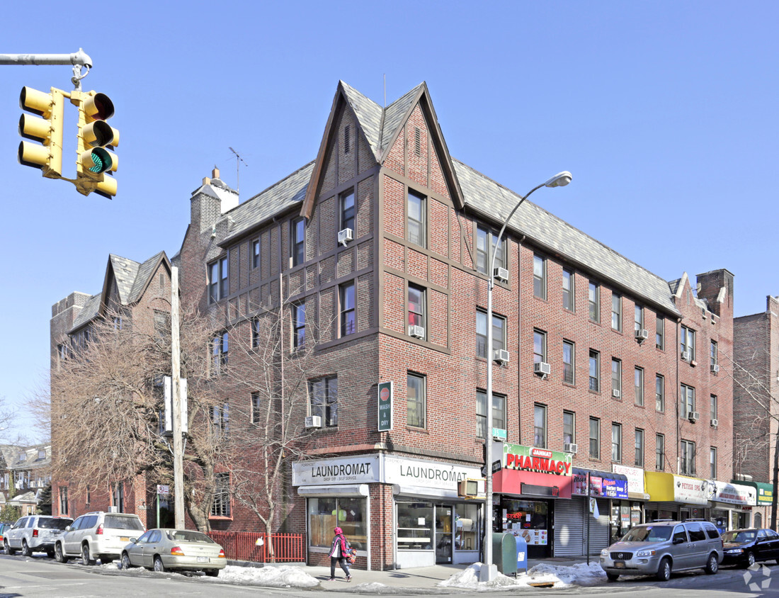
3404 76th St
3404 76th St,
Jackson Heights, NY 11372
$3,600 Total Monthly Price
2 Beds 12 Month Lease

Discover 3457 72nd St. You'll find this community on 72nd St. in the 11372 area of Jackson Heights. Discover a large selection of fantastic amenities at this community. These include: high-speed internet access and smoke-free options. The leasing team is available to help you find the perfect apartment. It's time to find your new home. Contact or stop by the 3457 72nd St leasing office to learn more about our community.
3457 72nd St is an apartment community located in Queens County and the 11372 ZIP Code. This area is served by the New York City Geographic District #30 attendance zone.
High Speed Internet Access
Refrigerator
Smoke Free
Heating
Jackson Heights sits in the northwestern corner of Queens, occupying a stretch of the borough where dozens of languages can be heard on a single city block. What began as a marshy colonial-era lowland called Trains Meadow has grown into one of the most culturally layered neighborhoods in New York City, a designation the New York Times has echoed more than once. The neighborhood draws energy from its main commercial corridors along Roosevelt Avenue and 74th Street, where South Asian grocery stores, Latin American bakeries, and Himalayan eateries share the streetscape with longtime community institutions.
The housing stock here leans heavily toward pre-war co-ops and mid-rise brick apartment communities, many of which feature interior courtyards that give the neighborhood a surprisingly green, almost European quality. Garden apartments and attached row homes also appear throughout the residential blocks, offering renters a range of footprints and price points within a walkable setting.
Learn more about living in Jackson Heights| Colleges & Universities | Distance | ||
|---|---|---|---|
| Colleges & Universities | Distance | ||
| Drive: | 7 min | 2.5 mi | |
| Drive: | 12 min | 5.0 mi | |
| Drive: | 12 min | 5.1 mi | |
| Drive: | 12 min | 5.4 mi |


Transportation options available in Jackson Heights include 65 Street, located 0.3 mile from 3457 72nd St. 3457 72nd St is near LaGuardia, located 2.7 miles or 7 minutes away, and John F Kennedy International, located 12.4 miles or 18 minutes away.
| Transit / Subway | Distance | ||
|---|---|---|---|
| Transit / Subway | Distance | ||
|
|
Walk: | 5 min | 0.3 mi |
|
|
Walk: | 7 min | 0.4 mi |
|
|
Walk: | 9 min | 0.5 mi |
|
|
Walk: | 14 min | 0.7 mi |
|
|
Walk: | 15 min | 0.8 mi |
| Commuter Rail | Distance | ||
|---|---|---|---|
| Commuter Rail | Distance | ||
|
|
Walk: | 13 min | 0.7 mi |
|
|
Drive: | 9 min | 3.2 mi |
|
|
Drive: | 11 min | 3.9 mi |
|
|
Drive: | 9 min | 4.3 mi |
|
|
Drive: | 11 min | 5.4 mi |
| Airports | Distance | ||
|---|---|---|---|
| Airports | Distance | ||
|
LaGuardia
|
Drive: | 7 min | 2.7 mi |
|
John F Kennedy International
|
Drive: | 18 min | 12.4 mi |
Scores provided by
Traffic
-Airport
-Businesses
-Scores provided by
HowLoud What is a Sound Score Rating? A Sound Score Rating aggregates noise caused by vehicle traffic, airplane traffic and local sources. How It WorksTime and distance from 3457 72nd St.
| Shopping Centers | Distance | ||
|---|---|---|---|
| Shopping Centers | Distance | ||
| Walk: | 15 min | 0.8 mi | |
| Walk: | 18 min | 0.9 mi |
| Parks and Recreation | Distance | ||
|---|---|---|---|
| Parks and Recreation | Distance | ||
|
Travers Park
|
Walk: | 8 min | 0.4 mi |
|
Linden Park
|
Drive: | 6 min | 2.4 mi |
|
Juniper Valley Park
|
Drive: | 10 min | 3.1 mi |
|
New York Hall of Science
|
Drive: | 8 min | 3.2 mi |
|
Queens Zoo
|
Drive: | 8 min | 3.3 mi |
| Hospitals | Distance | ||
|---|---|---|---|
| Hospitals | Distance | ||
| Walk: | 13 min | 0.7 mi | |
| Drive: | 11 min | 4.4 mi | |
| Drive: | 13 min | 5.5 mi |
| Military Bases | Distance | ||
|---|---|---|---|
| Military Bases | Distance | ||
| Drive: | 15 min | 8.0 mi | |
| Drive: | 24 min | 10.9 mi | |
| Drive: | 40 min | 15.5 mi |
What Are Walk Score®, Transit Score®, and Bike Score® Ratings?
Walk Score® measures the walkability of any address. Transit Score® measures access to public transit. Bike Score® measures the bikeability of any address.
What is a Sound Score Rating?
A Sound Score Rating aggregates noise caused by vehicle traffic, airplane traffic and local sources.


