$1,850
/ Month
3431 Laurelwood Trail
Clarksville, TN 37043
Favorites
931-245-8950
-
Bedrooms
3
-
Bathrooms
2.5
-
Square Feet
1,590 sq ft
-
Available
Available Sep 12
3431 Laurelwood Trail

Favorites
About This Home
$1,850 deposit,
Available Sep 12
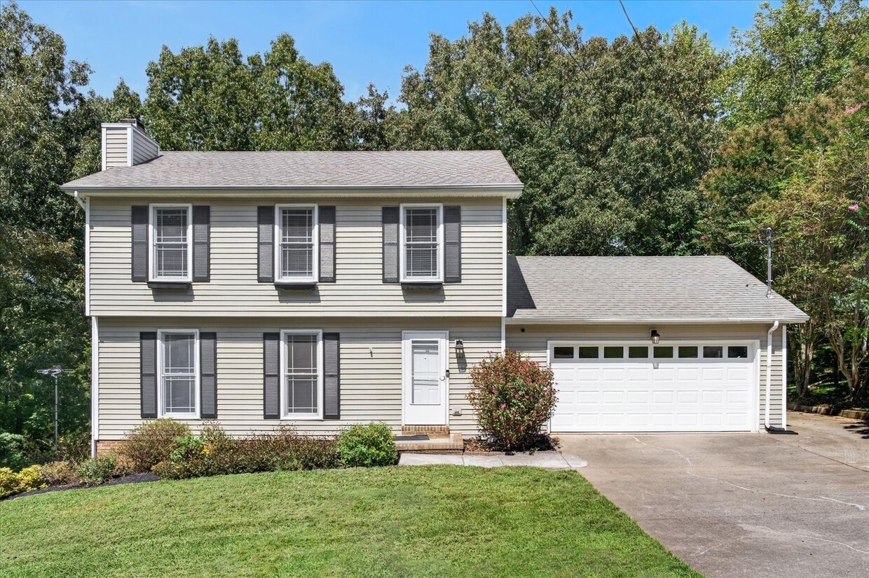
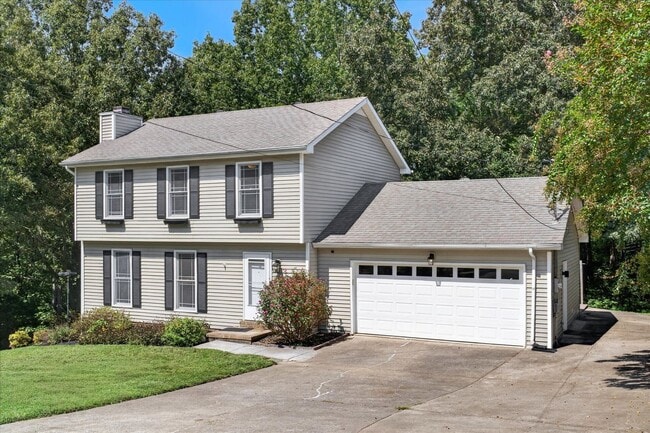
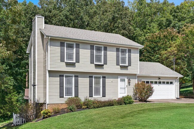
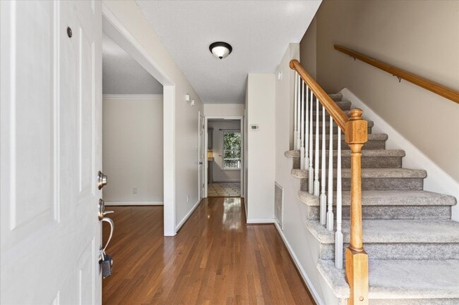
Well maintained three bedroom, two and a half bath home on a quiet cul de sac in Sango! Beautiful hardwood floors flow throughout the living room and dining room, with a fireplace adding warmth to the inviting living space. The spacious eat in kitchen features granite counters and stainless steel appliances, while the primary suite offers its own full bath. Upstairs, two generously sized guest rooms provide plenty of space. A two car garage adds convenience, and the huge extended deck is perfect for relaxing or entertaining. The nearly one and a half acre lot offers a beautiful tree lined setting with no backyard neighbors and plenty of room to enjoy the outdoors! Pet Rent Scale - Dogs: $30.00 per month - Cats: $35.00 per month - Restricted Breeds: $50.00 per month
3431 Laurelwood Trail is a house located in Montgomery County and the 37043 ZIP Code. This area is served by the Montgomery County School District attendance zone.
* Price shown is base rent. Excludes user-selected optional fees and variable or usage-based fees and required charges due at or prior to move-in or at move-out. Price, availability, fees, and any applicable rent special are subject to change without notice.
* Square footage definitions vary. Displayed square footage is approximate.
House Features
Dishwasher
Microwave
Refrigerator
Range
- Dishwasher
- Microwave
- Range
- Refrigerator
Fees and Policies
The fees listed below are community-provided and may exclude utilities or add-ons. All payments are made directly to the property and are non-refundable unless otherwise specified.
- Dogs Allowed
-
Fees not specified
- Cats Allowed
-
Fees not specified
Contact
- Listed by Copper Key Realty & Management | Copper Key Realty & Management
- Phone Number
- Contact
Location
Get Directions
Clarksville sits along the Cumberland River in northwestern Tennessee, about 45 miles from Nashville, and carries a distinct identity shaped by two major anchors: Austin Peay State University and Fort Campbell, one of the country's largest Army installations and home to the storied 101st Airborne Division. Founded in 1785, the city has grown into Tennessee's fifth-most populous, spanning 285 square miles with a population topping 184,000. Downtown Clarksville draws people in with its preserved 19th-century architecture, the Customs House Museum, and the Roxy Regional Theatre, while neighborhoods like St. Bethlehem and Rossview offer newer development, retail corridors, and easy interstate access.
The rental landscape here is genuinely varied. Apartment communities range from renovated historic buildings near Franklin Street to modern mid-rise developments along Wilma Rudolph Boulevard.
Learn more about living in Clarksville
Amenities
- Dishwasher
- Microwave
- Range
- Refrigerator
Education
| Colleges & Universities | Distance | ||
|---|---|---|---|
| Colleges & Universities | Distance | ||
| Drive: | 18 min | 10.3 mi | |
| Drive: | 50 min | 41.4 mi | |
| Drive: | 50 min | 41.9 mi | |
| Drive: | 54 min | 46.3 mi |
3431 Laurelwood Trail is within 18 minutes or 10.3 miles from Austin Peay State University. It is also near Tennessee State University and Meharry Medical College.
Schools


Public Elementary School
Grades PK-5
702 Students
Attendance Zone
Public Middle School
Grades 6-8
1,076 Students
Attendance Zone
Public High School
Grades 9-12
1,529 Students
Attendance Zone
Private Elementary, Middle & High School
Grades K-12
Nearby
Private Middle School
Grades PK & 6-8
Nearby
School data provided by
 The GreatSchools Rating helps parents compare schools within a state based on a variety of school quality indicators and provides a helpful picture of how effectively each school serves all of its students. Ratings are on a scale of 1 (below average) to 10 (above average) and can include test scores, college readiness, academic progress, advanced courses, equity, discipline and attendance data. We also advise parents to visit schools, consider other information on school performance and programs, and consider family needs as part of the school selection process.
View GreatSchools Rating Methodology
Data provided by GreatSchools.org © 2026. All rights reserved.
The GreatSchools Rating helps parents compare schools within a state based on a variety of school quality indicators and provides a helpful picture of how effectively each school serves all of its students. Ratings are on a scale of 1 (below average) to 10 (above average) and can include test scores, college readiness, academic progress, advanced courses, equity, discipline and attendance data. We also advise parents to visit schools, consider other information on school performance and programs, and consider family needs as part of the school selection process.
View GreatSchools Rating Methodology
Data provided by GreatSchools.org © 2026. All rights reserved.
Getting Around
 What do Walkability, Transit, Drivability, and Bikeability mean?
Walkability measures the walking distance to day-to-day needs.
Transit measures access to public transportation.
Drivability measures congestion, parking availability, and access to major roads.
Bikeability measures the suitability for cycling.
How It Works
What do Walkability, Transit, Drivability, and Bikeability mean?
Walkability measures the walking distance to day-to-day needs.
Transit measures access to public transportation.
Drivability measures congestion, parking availability, and access to major roads.
Bikeability measures the suitability for cycling.
How It Works
Not Walkable
Walkability
10
/ 100
Minimal Public Transit
Transit
0
/ 100
Exceptionally Drivable
Drivability
90
/ 100
Somewhat Bikeable
Bikeability
20
/ 100
Scores provided by
What do Walkability, Transit, Drivability, and Bikeability mean?
Walkability measures the walking distance to day-to-day needs.
Transit measures access to public transportation.
Drivability measures congestion, parking availability, and access to major roads.
Bikeability measures the suitability for cycling.
How It Works
-
Soundscore™
-
/ 100
Traffic
-Airport
-Businesses
-Scores provided by
HowLoud What is a Sound Score Rating? A Sound Score Rating aggregates noise caused by vehicle traffic, airplane traffic and local sources. How It WorksYou May Also Like
Similar Rentals Nearby
-
-
-
-
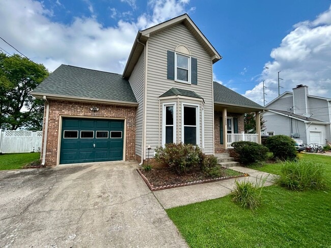
-
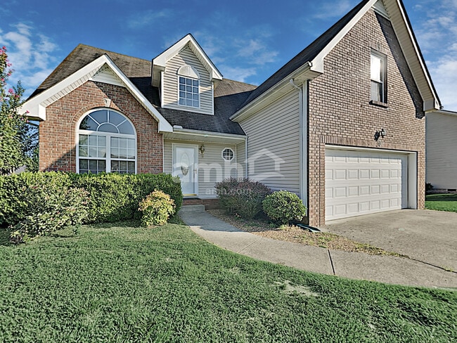 3 Beds$2,145Total Monthly PriceTotal Monthly Price NewPrices include all required monthly fees.House for Rent
 -
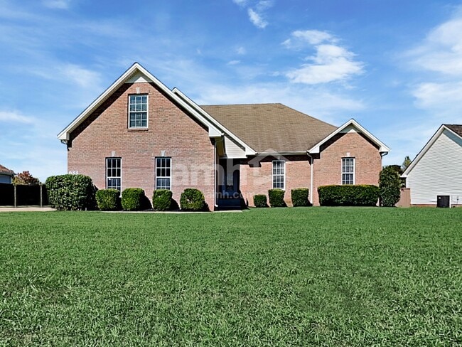 3 Beds$1,945Total Monthly PriceTotal Monthly Price NewPrices include all required monthly fees.House for Rent
 -
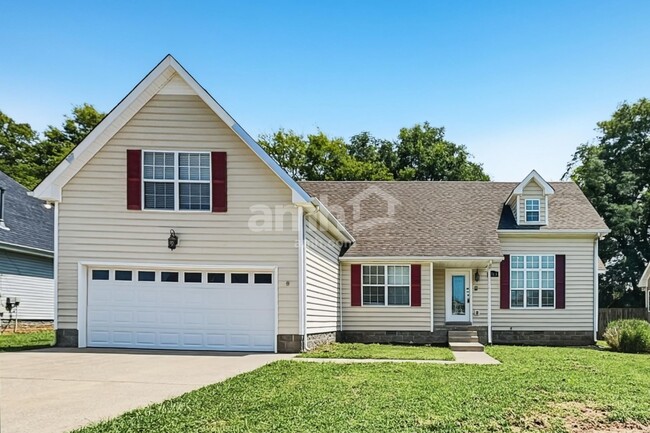 3 Beds$1,950Total Monthly PriceTotal Monthly Price NewPrices include all required monthly fees.House for Rent
 -
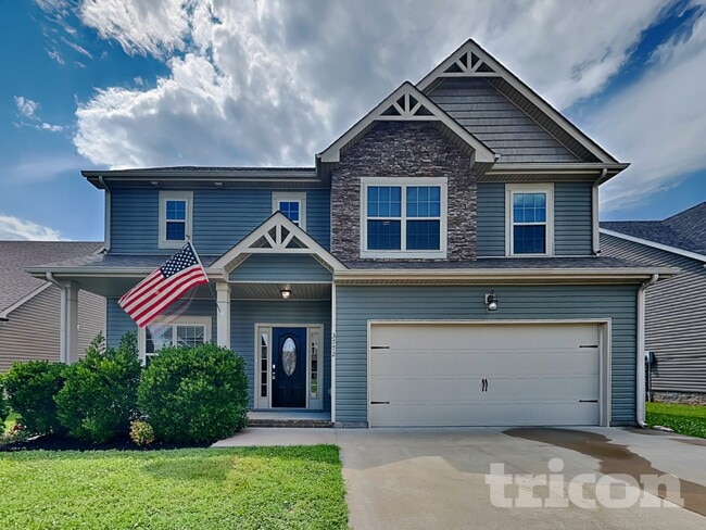
-
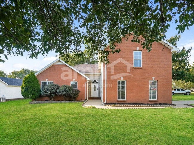 3 Beds$1,920Total Monthly PriceTotal Monthly Price NewPrices include all required monthly fees.House for Rent
 -
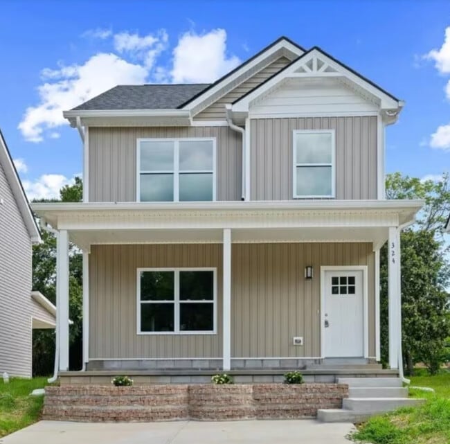
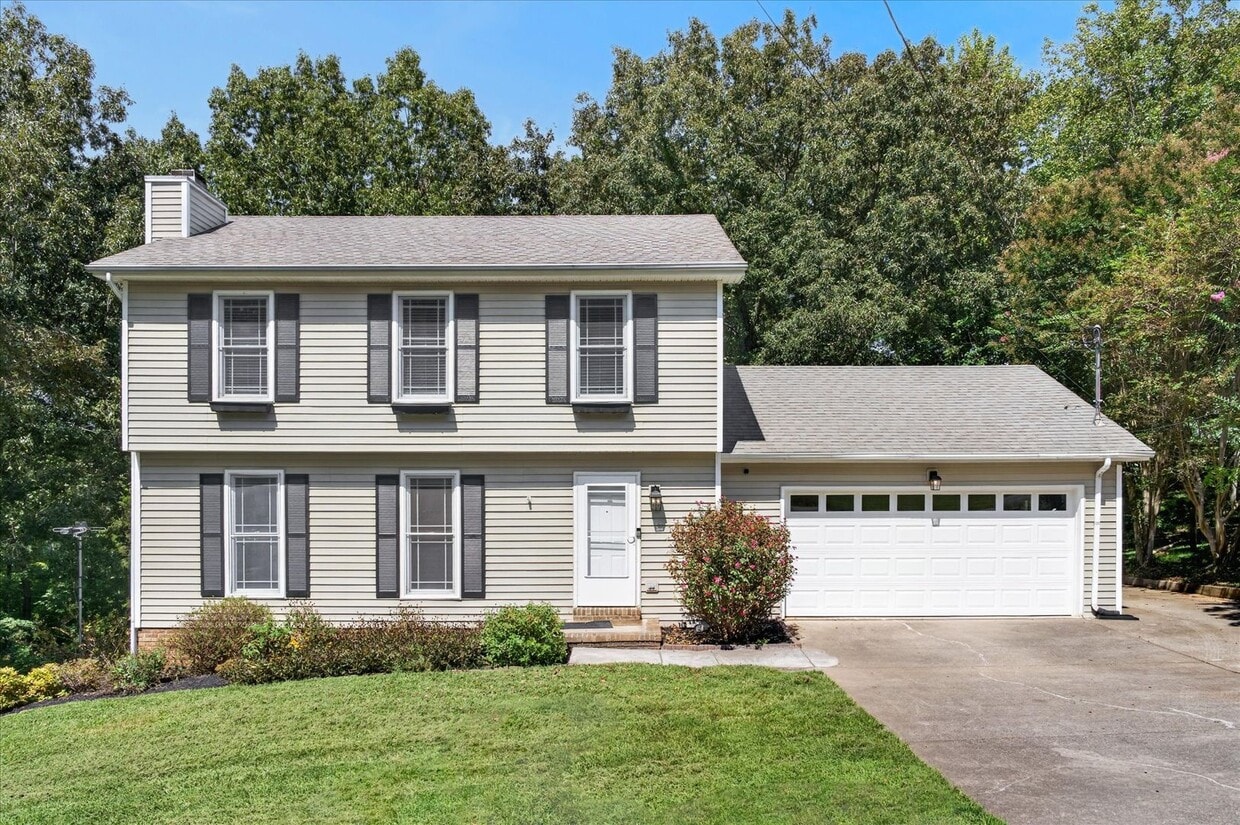
3431 Laurelwood Trail
Clarksville, TN 37043