

1 Bed, 1 Bath, 800 sq ft
$3,200
Total Monthly Price
12 Month Lease
Total Monthly Price
New
Prices include all required monthly fees.
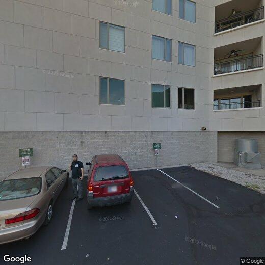
611 N Park Ave Unit #216
More Units at
Real Silk Lofts


