
Haven at Del Mar Station Apartments
265-275 S Arroyo Pky,
Pasadena, CA 91105
Studio - 2 Beds $2,725 - $3,625
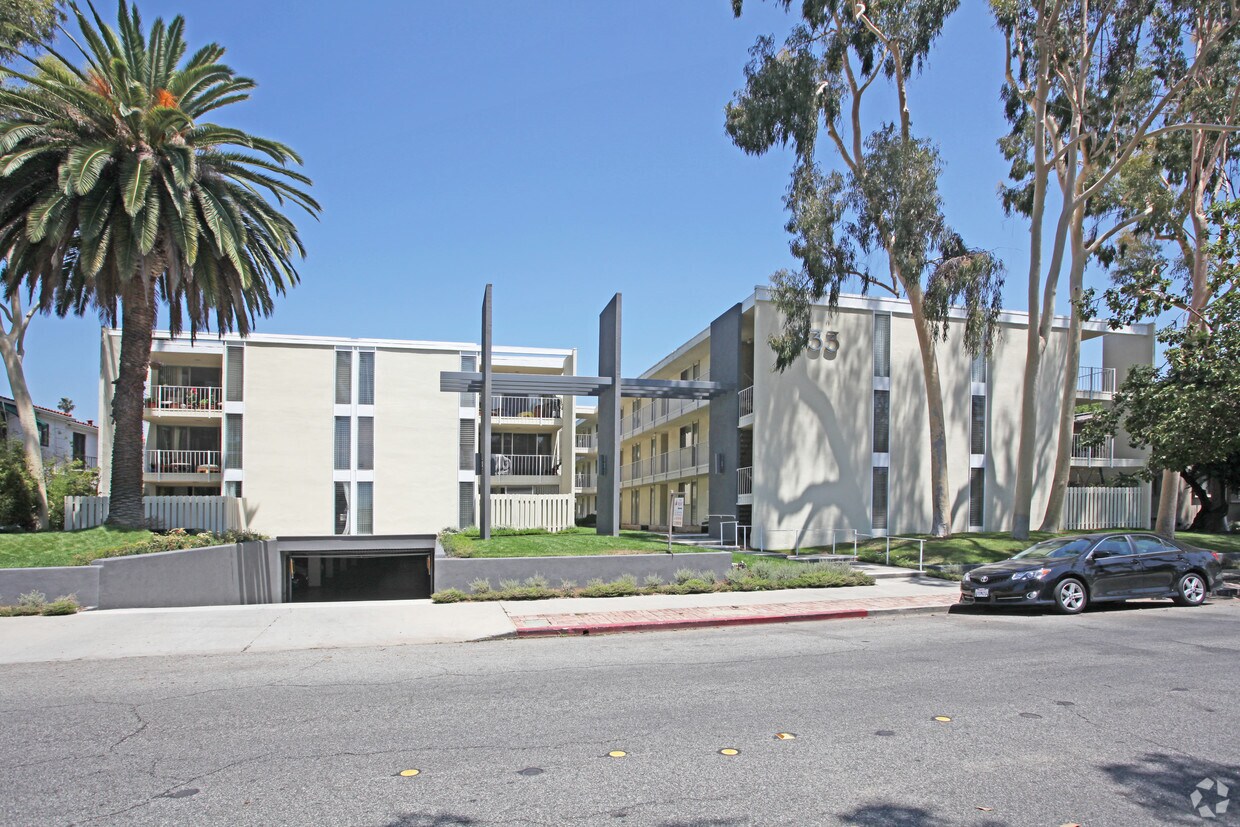
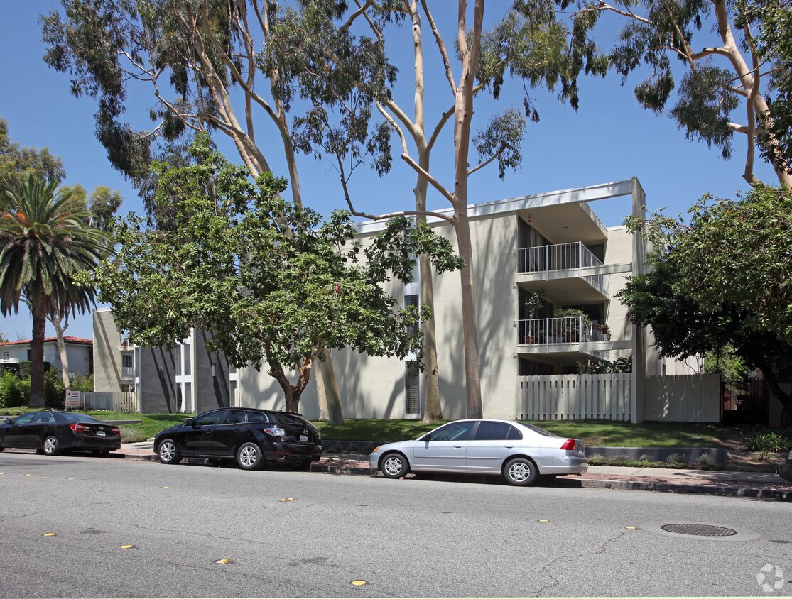

Discover your next home at 333 California Blvd in Pasadena, CA. The location in Pasadena's 91105 area has much to offer its residents. The professional leasing staff is ready to match you with the perfect place to live. Be sure to view the available floorplans. Stop by the leasing office to schedule a tour.
333 California Blvd is an apartment community located in Los Angeles County and the 91105 ZIP Code. This area is served by the Pasadena Unified attendance zone.
High Speed Internet Access
Smoke Free
Heating
Kitchen
Located a few miles southeast of downtown Pasadena, the Bellefontaine neighborhood lies near multiple highways, allowing an easy 10-minute commute to Los Angeles. Much of the neighborhood consists of the Huntington Memorial Hospital, the only hospital in Pasadena. Residents of the condos and houses for rent along the pleasant residential streets around the hospital enjoy plenty of greenery and California sunshine all year long.
Take a stroll to Singer Park and relax at the rose garden and picnic benches. For more strenuous recreation, head west to Arroyo Seco Park for jogging, hiking, cycling, and horseback riding. For lunch, sample the superb Mexican food at Urbano Mexican Kitchen. When you fancy a beer and sandwich, check out Harlowe's French Dip.
Learn more about living in Bellefontaine| Colleges & Universities | Distance | ||
|---|---|---|---|
| Colleges & Universities | Distance | ||
| Drive: | 3 min | 1.2 mi | |
| Drive: | 6 min | 1.9 mi | |
| Drive: | 4 min | 2.1 mi | |
| Drive: | 6 min | 3.0 mi |


Transportation options available in Pasadena include Fillmore Station, located 0.8 mile from 333 California Blvd. 333 California Blvd is near Bob Hope, located 16.4 miles or 22 minutes away, and Los Angeles International, located 23.4 miles or 37 minutes away.
| Transit / Subway | Distance | ||
|---|---|---|---|
| Transit / Subway | Distance | ||
|
|
Walk: | 15 min | 0.8 mi |
|
|
Drive: | 3 min | 1.1 mi |
|
|
Drive: | 3 min | 1.4 mi |
|
|
Drive: | 4 min | 1.7 mi |
|
|
Drive: | 4 min | 2.5 mi |
| Commuter Rail | Distance | ||
|---|---|---|---|
| Commuter Rail | Distance | ||
|
|
Drive: | 14 min | 8.3 mi |
|
|
Drive: | 16 min | 8.4 mi |
|
|
Drive: | 12 min | 8.8 mi |
|
|
Drive: | 20 min | 11.9 mi |
| Drive: | 18 min | 12.4 mi |
| Airports | Distance | ||
|---|---|---|---|
| Airports | Distance | ||
|
Bob Hope
|
Drive: | 22 min | 16.4 mi |
|
Los Angeles International
|
Drive: | 37 min | 23.4 mi |
Time and distance from 333 California Blvd.
| Shopping Centers | Distance | ||
|---|---|---|---|
| Shopping Centers | Distance | ||
| Walk: | 5 min | 0.3 mi | |
| Walk: | 8 min | 0.4 mi | |
| Walk: | 12 min | 0.7 mi |
| Parks and Recreation | Distance | ||
|---|---|---|---|
| Parks and Recreation | Distance | ||
|
Kidspace Children's Museum
|
Drive: | 5 min | 2.0 mi |
|
Huntington Botanical Gardens
|
Drive: | 9 min | 3.0 mi |
|
Jet Propulsion Laboratory
|
Drive: | 6 min | 4.1 mi |
|
Audubon Center at Debs Park
|
Drive: | 8 min | 4.4 mi |
|
Eaton Canyon Nature Center
|
Drive: | 11 min | 6.3 mi |
| Hospitals | Distance | ||
|---|---|---|---|
| Hospitals | Distance | ||
| Walk: | 6 min | 0.3 mi | |
| Drive: | 8 min | 3.6 mi | |
| Drive: | 9 min | 5.5 mi |
| Military Bases | Distance | ||
|---|---|---|---|
| Military Bases | Distance | ||
| Drive: | 34 min | 25.0 mi | |
| Drive: | 44 min | 28.8 mi |
What Are Walk Score®, Transit Score®, and Bike Score® Ratings?
Walk Score® measures the walkability of any address. Transit Score® measures access to public transit. Bike Score® measures the bikeability of any address.
What is a Sound Score Rating?
A Sound Score Rating aggregates noise caused by vehicle traffic, airplane traffic and local sources

333 California Blvd
Pasadena, CA 91105


 - Violet on Virgil")


 - AVA Burbank")


