

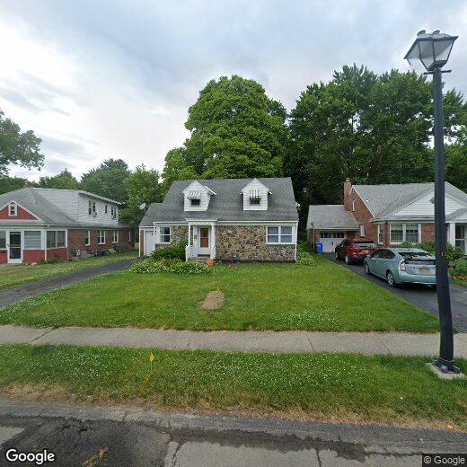
33 Crescent Dr
33 Crescent Dr
Albany, NY 12208
Favorites
33 Crescent Dr

Favorites
Check Back Soon for Upcoming Availability
| Beds | Baths | Average SF |
|---|---|---|
| 2 Bedrooms 2 Bedrooms 2 Br | 2 Baths 2 Baths 2 Ba | — |
33 Crescent Dr,
Albany,
NY
12208
Albany, New York combines historic architecture and contemporary living along the Hudson River. As the Capital District's center, the city balances government operations with welcoming neighborhoods. Current rental trends show moderate growth, with average rents ranging from $1,284 for studios to $1,914 for three-bedroom units, with an overall average of $1,506. The market has seen modest increases, with year-over-year changes varying from 1.8% to 3.5% across different unit sizes.
Albany's neighborhoods each offer distinct characteristics. Center Square features well-preserved row houses near local shops and restaurants, while Pine Hills sits close to educational institutions. Washington Park, an 81-acre green space designed in 1876, hosts summer concerts and provides winter recreation including ice skating. The Empire State Plaza and the New York State Capitol building create Albany's recognizable skyline.
Learn more about living in Albany
Education
| Colleges & Universities | Distance | ||
|---|---|---|---|
| Colleges & Universities | Distance | ||
| Drive: | 6 min | 2.1 mi | |
| Drive: | 6 min | 2.2 mi | |
| Drive: | 6 min | 2.3 mi | |
| Drive: | 9 min | 2.9 mi |
33 Crescent Dr is within 6 minutes or 2.1 miles from The Sage Colleges, Albany. It is also near Albany Medical College and The College of Saint Rose.
Walkability Near 33 Crescent Dr Albany, NY 12208
Getting Around
 What do Walkability, Transit, Drivability, and Bikeability mean?
Walkability measures the walking distance to day-to-day needs.
Transit measures access to public transportation.
Drivability measures congestion, parking availability, and access to major roads.
Bikeability measures the suitability for cycling.
How It Works
What do Walkability, Transit, Drivability, and Bikeability mean?
Walkability measures the walking distance to day-to-day needs.
Transit measures access to public transportation.
Drivability measures congestion, parking availability, and access to major roads.
Bikeability measures the suitability for cycling.
How It Works
Fairly Walkable
Walkability
50
/ 100
Some Public Transit
Transit
50
/ 100
Exceptionally Drivable
Drivability
90
/ 100
Fairly Bikeable
Bikeability
50
/ 100
Scores provided by
-
Soundscore™
-
/ 100
Traffic
-Airport
-Businesses
-Scores provided by
HowLoud What is a Sound Score Rating? A Sound Score Rating aggregates noise caused by vehicle traffic, airplane traffic and local sources. How It WorksYou May Also Like
Similar Rentals Nearby


What Are Walk Score®, Transit Score®, and Bike Score® Ratings?
Walk Score® measures the walkability of any address. Transit Score® measures access to public transit. Bike Score® measures the bikeability of any address.
What is a Sound Score Rating?
A Sound Score Rating aggregates noise caused by vehicle traffic, airplane traffic and local sources.
33 Crescent Dr
Albany, NY 12208